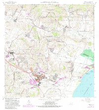
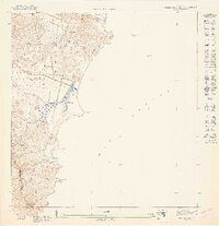
1967 Map of Humacao
USGS Topo · Published 1989About this map
The coastal valley of Humacao and the eastern slopes of the Caribbean National Forest define this landscape during a period of significant urban expansion. The central municipality of Humacao is shown in detail, including the Universidad de Puerto Rico Colegio Regional de Humacao and the Parque Atletico Electra. Infrastructure for a growing region is evident in the Planta Hidroelectrica de Rio Blanco and the Planta de Purificacion. Along the coast, the Balneario Público de Humacao and the settlement of Punta Santiago mark the transition from the sugar-growing plains to the Caribbean Sea. Traces of the region's agricultural past remain visible through the Ferrocarril Icacos and numerous family-named schools like Escuela Arturo Martinez and Escuela Jose Hernandez, which served the dispersed barrios of Mabú, Collores, and Peña Pobre.
Find a feature on this map
120 named features on this map. Tap any name to fly to it.
Don’t see what you’re looking for? This feature index may not catch every label — zoom into the map to look around manually.
Map Details
Editions of this 1967 Humacao Map
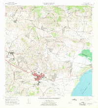
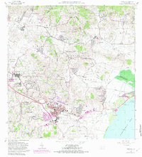
3 editions found
Other maps of this area

1945 · El Yunque
USGS Topo · 1:30,000

1946 · El Yunque
USGS Topo · 1:30,000

1946 · Humacao
USGS Topo · 1:30,000

1946 · Punta Guayanes
USGS Topo · 1:30,000

1946 · Gurabo
USGS Topo · 1:30,000

1946 · Juncos
USGS Topo · 1:30,000

1946 · Yabucoa
USGS Topo · 1:30,000

1946 · Naguabo
USGS Topo · 1:30,000
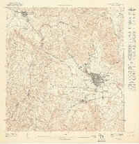
1947 · Humacao SO
USGS Topo · 1:10,000
1947 · Punta Guayanes NE
USGS Topo · 1:10,000