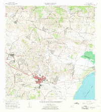
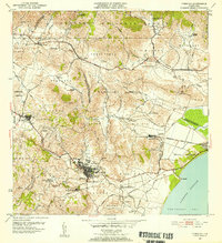
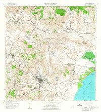
1967 Map of Humacao
USGS Topo · Published 1969About this map
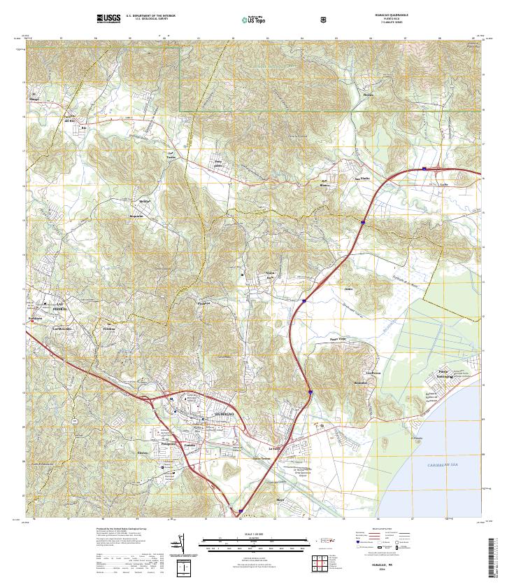
The town of Humacao serves as the focal point of this late 1960s survey, revealing a region transitioning between traditional agriculture and modern institutional growth. The urban core is flanked by significant developments, including the Universidad de Puerto Rico Colegio Regional de Humacao and Colegio San Benito, while the coastline features the Balneario Publico de Humacao near the Puerto de Humacao. Inland, the landscape is defined by the steep terrain of the Caribbean National Forest and the industrial presence of the Planta Hidroelectrica de Rio Blanco.
Find a feature on this map
113 named features on this map. Tap any name to fly to it.
Don’t see what you’re looking for? This feature index may not catch every label — zoom into the map to look around manually.
Map Details
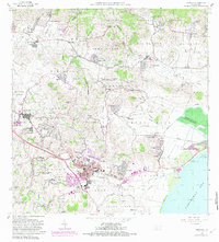
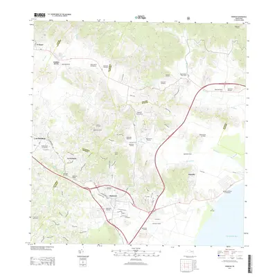
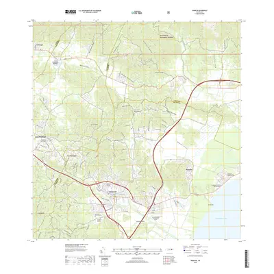
Editions of this 1967 Humacao Map
3 editions found
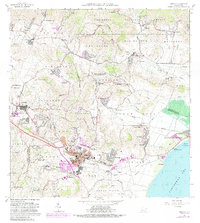
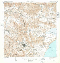
Historical Maps of Humacao Through Time
7 maps found
Featured Locations
- Las Piedras, Las Piedras
- Sector Los Tolentinos, Las Piedras
- Brisas del Río, Humacao
- Humacao, Humacao
- Sector El Cupey, Humacao