
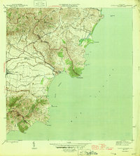
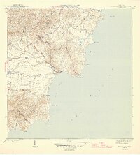
1946 Map of Punta Guayanes
USGS Topo · Published 1946About this map
The Central Roig railroad corridor anchors the coastal economy of this mid-1940s landscape, serving as a vital industrial artery between the sugar production areas and the eastern shoreline. The terrain is defined by its dramatic transition from the high summits of Cerro Santa Elena and the Cuchilla ridge down to the coastal plains of Puerto Yabucoa. Along the water, established settlements like Playa de Guayanes and Colonia Monserrate sit near the mouths of several significant waterways, including the Río Guayanés and Río del Ingenio.
Find a feature on this map
37 named features on this map. Tap any name to fly to it.
Don’t see what you’re looking for? This feature index may not catch every label — zoom into the map to look around manually.
Map Details
Editions of this 1946 Punta Guayanes Map
3 editions found
Other maps of this area

1945 · Punta Tuna
USGS Topo · 1:30,000

1946 · Humacao
USGS Topo · 1:30,000

1946 · Juncos
USGS Topo · 1:30,000

1946 · Yabucoa
USGS Topo · 1:30,000
1947 · Humacao SO
USGS Topo · 1:10,000
1947 · Punta Guayanes NE
USGS Topo · 1:10,000
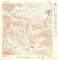
1947 · Yabucoa SE
USGS Topo · 1:10,000
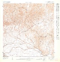
1947 · Punta Guayanes NO
USGS Topo · 1:10,000
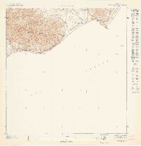
1947 · Punta Tuna NE
USGS Topo · 1:10,000
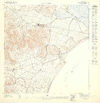
1947 · Humacao SE
USGS Topo · 1:10,000
Featured Places
- Urbanización Arboleda, Humacao
- Mar y Palmas, Humacao
- Palladio, Humacao
- Sector Soto Monte, Yabucoa
- Sector El Guano, Yabucoa