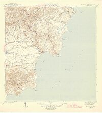
1946 Map of Punta Guayanes
USGS Topo · Published 1946About this map
Central Roig anchors the sugar industry of this coastal region during the mid-1940s, situated at the edge of the expansive Valle de Yabucoa. This survey captures a landscape defined by its agricultural output and the transition from the interior mountains to the Caribbean shore. Settlement patterns are concentrated around established colonies like Colonia Monserrate and the coastal village of Playa de Guayanés. The complex hydrology of the valley is evident through the winding courses of the Río Guayanés and the Zanja Santiago, which supported the surrounding estates. To the north, the terrain rises sharply toward Cerro Candelero, while the southern reaches are dominated by the rugged Cuchilla de Panduras. Prominent coastal landmarks such as Punta Guayanés and the small offshore Cayo Batata illustrate the navigational challenges and natural geography of Puerto Yabucoa before modern industrial developments transformed the shoreline.
Find a feature on this map
31 named features on this map. Tap any name to fly to it.
Don’t see what you’re looking for? This feature index may not catch every label — zoom into the map to look around manually.
Map Details
Editions of this 1946 Punta Guayanes Map
3 editions found
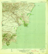
Other maps of this area

1945 · Punta Tuna
USGS Topo · 1:30,000

1946 · Humacao
USGS Topo · 1:30,000

1946 · Punta Guayanes
USGS Topo · 1:30,000

1946 · Juncos
USGS Topo · 1:30,000

1946 · Yabucoa
USGS Topo · 1:30,000
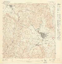
1947 · Humacao SO
USGS Topo · 1:10,000
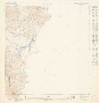
1947 · Punta Guayanes NE
USGS Topo · 1:10,000
1947 · Yabucoa SE
USGS Topo · 1:10,000
1947 · Punta Guayanes NO
USGS Topo · 1:10,000
1947 · Punta Tuna NE
USGS Topo · 1:10,000
Featured Places
- Sector El Cocal, Yabucoa
- Sector El Guano, Yabucoa
- Sector Soto Monte, Yabucoa
- Palladio, Humacao
- Urbanización Arboleda, Humacao