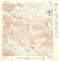
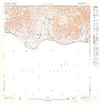
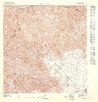
1947 Map of Yabucoa SE
USGS Topo · Published 1947About this map
The Valle de Yabucoa dominates the northern landscape of this survey, where the Río Guayanes meanders toward the coast near the settlement of Yabucoa. In the south, the industrial presence of Central Columbia reflects the region's agricultural and milling history, situated along the Río Maunabo near the town of Maunabo. The terrain is defined by the steep rises of Cerro Pandura and Cerro El Sombrerito, which separate these two coastal valleys.
Find a feature on this map
17 named features on this map. Tap any name to fly to it.
Don’t see what you’re looking for? This feature index may not catch every label — zoom into the map to look around manually.
Map Details
Editions of this 1947 Yabucoa SE Map
This is the sole edition of this map. No revisions or reprints were ever made.
Other maps of this area
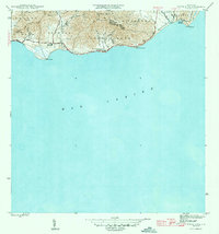
1945 · Punta Tuna
USGS Topo · 1:30,000
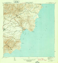
1946 · Punta Guayanes
USGS Topo · 1:30,000

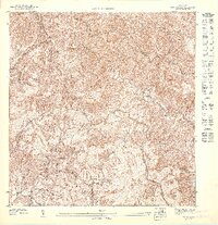
1946 · Yabucoa
USGS Topo · 1:30,000
1947 · Yabucoa SO
USGS Topo · 1:10,000
1947 · Punta Tuna NO
USGS Topo · 1:10,000
1947 · Punta Guayanes NO
USGS Topo · 1:10,000
1947 · Punta Tuna NE
USGS Topo · 1:10,000
1947 · Punta Guayanes SO
USGS Topo · 1:10,000
1947 · Yabucoa NE
USGS Topo · 1:10,000
1947 · Yabucoa NO
USGS Topo · 1:10,000