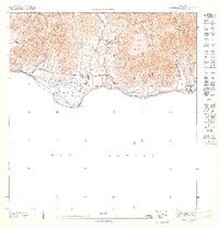
1947 Map of Punta Tuna NO
USGS Topo · Published 1947About this map
Hacienda San Isidro sits along the southern coast of Puerto Rico in this mid-1940s topographic study, illustrating the agricultural and educational landscape of the era. The terrain is defined by the sharp rise of Sierra de Guardarraya and Cerro Piedra Hueca, where small streams like Quebrada Higuera and the Rio Jacaboa descend toward the Mar Caribe. The map documents the boundary between Municipio de Patillas and Municipio de Maunabo, marking a transition in local administration and land use. Coastal features such as Pta Viento and the presence of the Escuela Segunda Unidad de Guardarraya highlight the proximity of rural educational centers to the shoreline, while the inland label for Florida suggests localized settlement patterns during a time when the island's interior was heavily shaped by its coastal proximity.
Find a feature on this map
13 named features on this map. Tap any name to fly to it.
Don’t see what you’re looking for? This feature index may not catch every label — zoom into the map to look around manually.
Map Details
Editions of this 1947 Punta Tuna NO Map
This is the sole edition of this map. No revisions or reprints were ever made.
Other maps of this area

1945 · Punta Tuna
USGS Topo · 1:30,000

1946 · Patillas
USGS Topo · 1:30,000

1946 · Yabucoa
USGS Topo · 1:30,000

1946 · Guayama
USGS Topo · 1:30,000

1947 · Yabucoa SO
USGS Topo · 1:10,000
1947 · Guayama NE
USGS Topo · 1:10,000
1947 · Yabucoa SE
USGS Topo · 1:10,000
1947 · Patillas SE
USGS Topo · 1:10,000
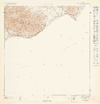
1947 · Punta Tuna NE
USGS Topo · 1:10,000
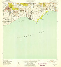
1952 · Guayama
USGS Topo · 1:30,000
Featured Places
- Sector Higuero, Patillas
- Sector María Marisca, Patillas
- Barro Blanco, Patillas
- Ríos, Patillas
- Recio, Patillas