1947 Map of Yabucoa SO
USGS Topo · Published 1947About this map
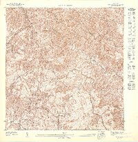
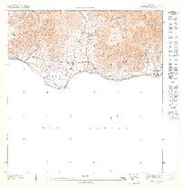
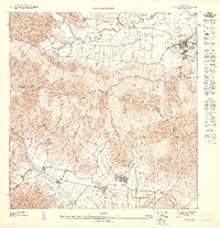
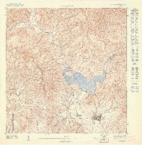
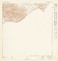
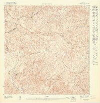
Cerro Torrecilla and Tallada anchor the high ridges where the boundaries of Patillas, Maunabo, and Yabucoa converge. This 1940s topography reflects a landscape dominated by its drainage systems, with the Rio Maunabo and its numerous tributaries, such as Quebrada Guayabo and Quebrada de las Avispas, carving deep into the southern mountains of Puerto Rico. The density of contour lines suggests a terrain that necessitated winding paths and dispersed rural settlement rather than a central urban grid.
Find a feature on this map
11 named features on this map. Tap any name to fly to it.
Don’t see what you’re looking for? This feature index may not catch every label — zoom into the map to look around manually.
Map Details
Editions of this 1947 Yabucoa SO Map
This is the sole edition of this map. No revisions or reprints were ever made.
Other maps of this area
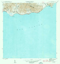
1945 · Punta Tuna
USGS Topo · 1:30,000

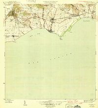
1946 · Patillas
USGS Topo · 1:30,000

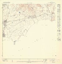
1946 · Yabucoa
USGS Topo · 1:30,000
1946 · Guayama
USGS Topo · 1:30,000
1947 · Guayama NE
USGS Topo · 1:10,000
1947 · Punta Tuna NO
USGS Topo · 1:10,000
1947 · Yabucoa SE
USGS Topo · 1:10,000
1947 · Patillas SE
USGS Topo · 1:10,000
1947 · Punta Tuna NE
USGS Topo · 1:10,000
1947 · Patillas NE
USGS Topo · 1:10,000