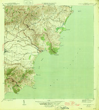
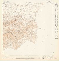
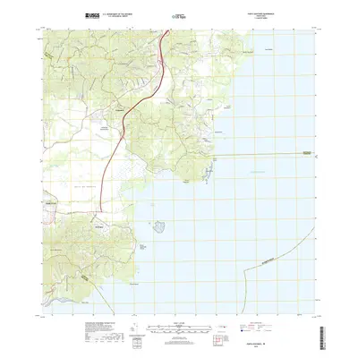
1946 Map of Punta Guayanes
USGS Topo · Published 1946About this map
The Valle de Yabucoa unfolds along the southeastern coast of Puerto Rico in this mid-1940s survey, revealing a landscape defined by industrial agriculture and coastal trade. The influence of the sugar industry is evident at the Central Roig and nearby Colonia Monserrate, where the fertile plains meet a complex network of waterways like the Río Guayanés and the Zanja de Barra. The shoreline is heavily articulated with prominent landmarks such as Punta Guayanés and the sheltered waters of Puerto Yabucoa.
Find a feature on this map
27 named features on this map. Tap any name to fly to it.
Don’t see what you’re looking for? This feature index may not catch every label — zoom into the map to look around manually.
Map Details
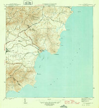
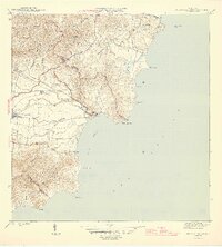
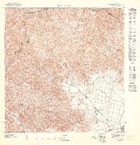
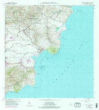
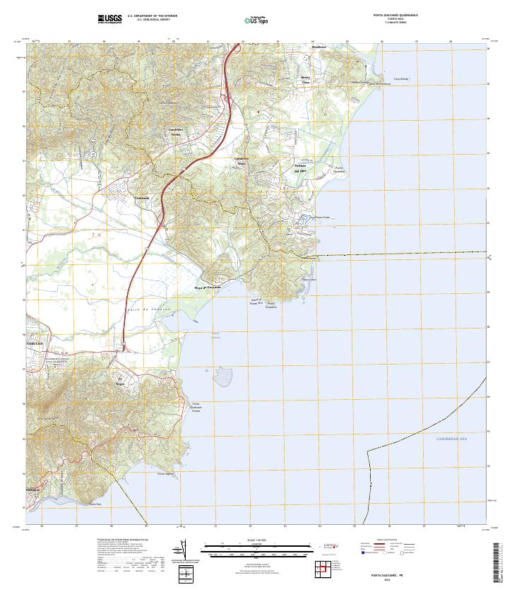
Editions of this 1946 Punta Guayanes Map
3 editions found
Historical Maps of Urbanización Arboleda Through Time
9 maps found
1946 Punta Guayanes
Yabucoa Municipio, PR
1947 Punta Guayanes NO
Yabucoa Municipio, PR
1947 Punta Guayanes SO
Yabucoa Municipio, PR
1947 Yabucoa NE
Yabucoa Municipio, PR

1952 Punta Guayanes
Yabucoa Municipio, PR
1960 Punta Guayanes
Yabucoa Municipio, PR
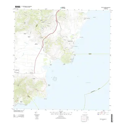
2013 Punta Guayanes
Yabucoa Municipio, PR
2018 Punta Guayanes
Yabucoa Municipio, PR
2024 Punta Guayanes
Yabucoa Municipio, PR
Featured Locations
- Palladio, Humacao
- Urbanización Arboleda, Humacao
- Mar y Palmas, Humacao
- Sector El Guano, Yabucoa
- Sector Soto Monte, Yabucoa