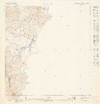
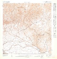
1947 Map of Punta Guayanes NE
USGS Topo · Published 1947About this map
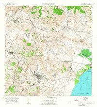
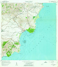
Buena Vista overlooks the coastal wetlands and sugar-growing lowlands of eastern Puerto Rico in this mid-century topographic study. The landscape is defined by the winding course of the Río Humacao as it meets the Mar Caribe, creating a complex shoreline of inlets and promontories. Topographic details illustrate the dramatic transition from the coastal plain to the prominent rise of the Morro de Humacao. This preliminary survey captures the rural character of the region before modern development, marking the administrative boundary between Municipio de Humacao and Municipio de Yabucoa. Coastal landmarks such as Pta Candelero and the offshore Cayo Batata provide essential orientation for maritime history and local geography, while the cluster of structures at Punta Guayanés indicates the early footprint of the seaside settlement.
Find a feature on this map
10 named features on this map. Tap any name to fly to it.
Don’t see what you’re looking for? This feature index may not catch every label — zoom into the map to look around manually.
Map Details
Editions of this 1947 Punta Guayanes NE Map
This is the sole edition of this map. No revisions or reprints were ever made.
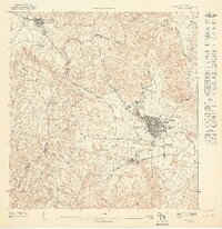
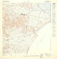
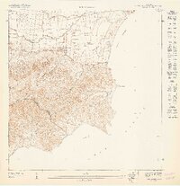
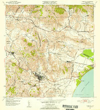
Other maps of this area
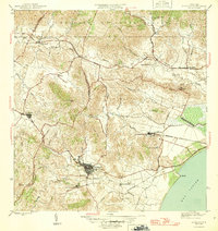
1946 · Humacao
USGS Topo · 1:30,000
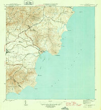
1946 · Punta Guayanes
USGS Topo · 1:30,000
1947 · Humacao SO
USGS Topo · 1:10,000
1947 · Punta Guayanes NO
USGS Topo · 1:10,000
1947 · Humacao SE
USGS Topo · 1:10,000
1947 · Punta Guayanes SO
USGS Topo · 1:10,000
1952 · Humacao
USGS Topo · 1:30,000

1952 · Punta Guayanes
USGS Topo · 1:30,000
1958 · Humacao
USGS Topo · 1:20,000
1960 · Punta Guayanes
USGS Topo · 1:20,000
Featured Places
- Palladio, Humacao
- Mar y Palmas, Humacao
- Palacios del Sol, Humacao
- Costa Verde, Humacao
- Palmas Plantation, Humacao