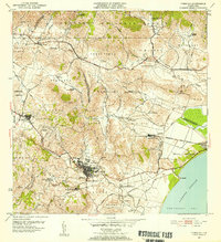
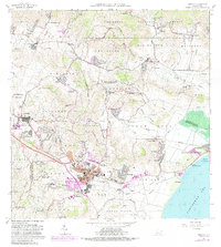
1952 Map of Humacao
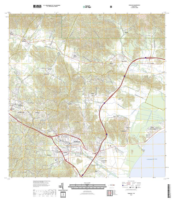
USGS Topo · Published 1953About this map
Sugar production and industrial development define the landscape surrounding Humacao during the early 1950s. The agricultural economy is centered on large estates and processing facilities like Central Pasto Viejo and Central El Ejemplo, which are connected to the coast and interior by specialized rail lines including the Ferrocarril de Humacao and Ferrocarril de Pasto Viejo. These corridors provide a window into the logistics of the era's dominant industry, linking numerous labor settlements such as Colonia San Eladio and Colonia Mayo.
Find a feature on this map
85 named features on this map. Tap any name to fly to it.
Don’t see what you’re looking for? This feature index may not catch every label — zoom into the map to look around manually.
Map Details
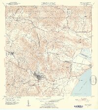
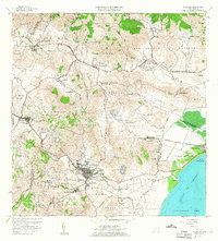
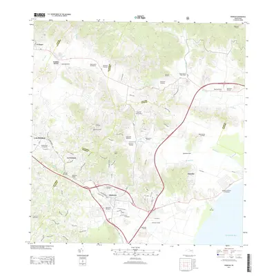
Editions of this 1952 Humacao Map
2 editions found
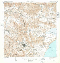
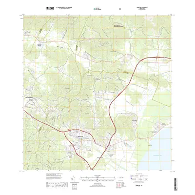
Historical Maps of Humacao Through Time
7 maps found
Featured Locations
- Las Piedras, Las Piedras
- Sector Los Tolentinos, Las Piedras
- Brisas del Río, Humacao
- Humacao, Humacao
- Sector El Cupey, Humacao