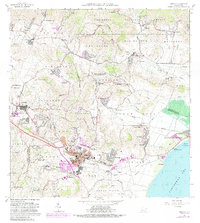
1952 Map of Humacao
USGS Topo · Published 1953About this map
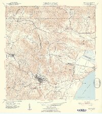
The town of Humacao and its coastal surroundings are depicted here in the early 1950s, revealing a landscape deeply defined by the sugar industry and its specialized infrastructure. The map traces the extensive narrow-gauge rail networks of the Ferrocarriles de Puerto Rico, Ferrocarril de Pasto Viejo, and Ferrocarriles de Humacao, which connect numerous agricultural outposts like Colonia Cometa and Colonia Electra to the major processing hubs at Central Pasto Viejo and Central El Ejemplo. Near the coast at Punta Santiago, the industrial footprint meets the Vieques Passage, while further inland, the terrain rises sharply toward the Caribbean National Forest. Local educational and industrial development is evident through sites like the Escuela Agrícola Industrial San Antonio and the Planta Hidroeléctrica de Río Blanco. This survey captures the transition of the region's economy, showing the density of workers' settlements such as Pueblito de los Perros alongside traditional landmarks like the Mina de Hierro.
Find a feature on this map
84 named features on this map. Tap any name to fly to it.
Don’t see what you’re looking for? This feature index may not catch every label — zoom into the map to look around manually.
Map Details
Editions of this 1952 Humacao Map
2 editions found
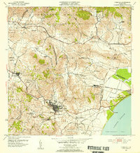
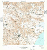
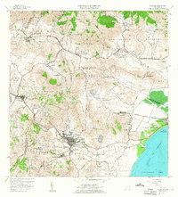
Historical Maps of Humacao Through Time
7 maps found
Featured Locations
- Sector Gaspar F. Meléndez, Las Piedras
- Las Piedras, Las Piedras
- Sector Los Tolentinos, Las Piedras
- Brisas del Río, Humacao
- Humacao, Humacao