
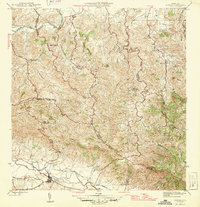
1946 Map of Gurabo
USGS Topo · Published 1946About this map
Gurabo sits at the southern edge of this mid-century survey, positioned near the junction of the Río Gurabo and the sprawling agricultural infrastructure of the Eastern Sugar Associates. The landscape transitions from the river valley into the high ridges of the Cuchilla de Hato Nuevo and Cuchilla Asomante, where scattered rural settlements like Canto de Sapo and Cambute are connected by a network of winding mountain roads.
Find a feature on this map
36 named features on this map. Tap any name to fly to it.
Don’t see what you’re looking for? This feature index may not catch every label — zoom into the map to look around manually.
Map Details
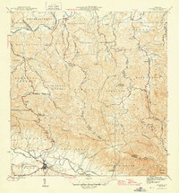
Editions of this 1946 Gurabo Map
3 editions found
Other maps of this area

1940 · Carolina
USGS Topo · 1:30,000

1941 · San Juan
USGS Topo · 1:30,000

1941 · Rio Grande
USGS Topo · 1:30,000

1941 · Carolina
USGS Topo · 1:30,000

1945 · El Yunque
USGS Topo · 1:30,000

1946 · El Yunque
USGS Topo · 1:30,000

1946 · Aguas Buenas
USGS Topo · 1:30,000

1946 · Humacao
USGS Topo · 1:30,000

1946 · Juncos
USGS Topo · 1:30,000

1946 · Caguas
USGS Topo · 1:30,000
Featured Places
- Gurabo
- La Marina, Canóvanas
- Sector Los Canales, Carolina
- Sector El Counte, Carolina
- Colinas de Cacao, Carolina