Loading...
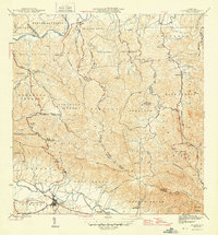
Loading map...1946 Map of Gurabo
USGS Topo · Published 1946About this map
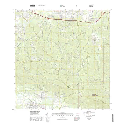
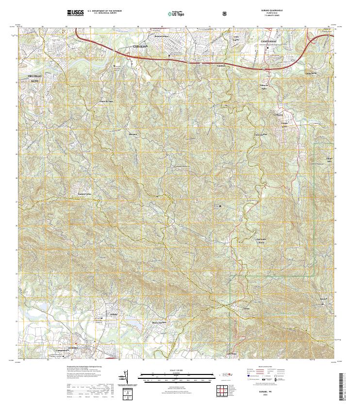
The Río Grande de Loíza winds through a landscape of traditional agricultural barrios in the mid-1940s, marking the boundaries between Trujillo Alto and Carolina. This period captures the rural educational infrastructure of the era, visible in the distributed locations of the Escuela Segunda Unidad de Cacao and Escuela Segunda Unidad de Carruzos. These "second unit" schools were central to the rural community, often focusing on vocational and agricultural training for local families.
Find a feature on this map
58 named features on this map. Tap any name to fly to it.
Don’t see what you’re looking for? This feature index may not catch every label — zoom into the map to look around manually.
Map Details
Date Portrayed1946
Date Published1946
PublisherU.S. Geological Survey
Map TypeTopographic
Scale1:30,000
Physical Dimensions19.8 x 21.4 inches
Editions of this 1946 Gurabo Map
3 editions found

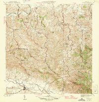
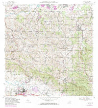
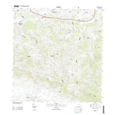
Historical Maps of Gurabo Through Time
9 maps found


Featured Locations
- Gurabo, Gurabo
- La Marina, Canóvanas
- Sector Los Canales, Carolina
- Colinas de Cacao, Carolina
- Sector El Counte, Carolina
Source Details
SourceU.S. Geological Survey
CopyrightPublic Domain