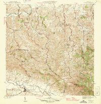
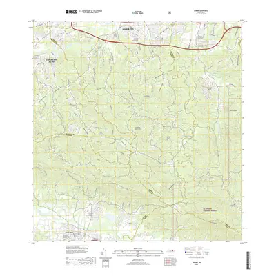
1946 Map of Gurabo
USGS Topo · Published 1946About this map
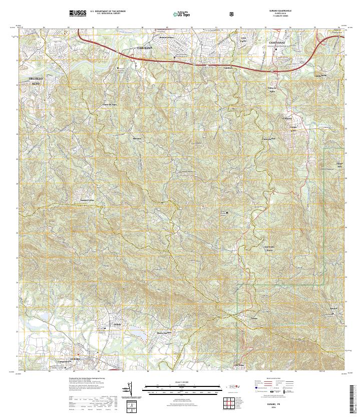
The Río Grande de Loíza and Río Gurabo define the low-lying agricultural corridors of this mid-1940s Puerto Rican landscape. The town of Gurabo sits at the southern edge of the sheet, where the Eastern Sugar Associates rail lines and infrastructure indicate the local dominance of the sugar industry during this era. Moving north into the steeper terrain of the Cuchilla de Santa Elena, the map reveals a network of rural settlements and educational centers such as the Escuela Segunda Unidad de Cacao and Escuela Segunda Unidad de Carruzos. These "Segunda Unidad" schools were a cornerstone of the island's rural vocational education program. The topography is further punctuated by peaks like Cerro Gordo and La Silla, alongside a designated Military Reservation near the southern river valley.
Find a feature on this map
31 named features on this map. Tap any name to fly to it.
Don’t see what you’re looking for? This feature index may not catch every label — zoom into the map to look around manually.
Map Details
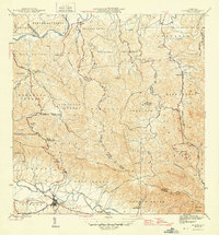
Editions of this 1946 Gurabo Map
3 editions found

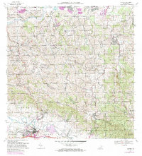
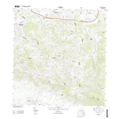
Historical Maps of Gurabo Through Time
9 maps found


Featured Locations
- Gurabo, Gurabo
- La Marina, Canóvanas
- Sector Los Canales, Carolina
- Colinas de Cacao, Carolina
- Sector El Counte, Carolina