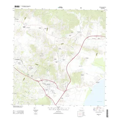
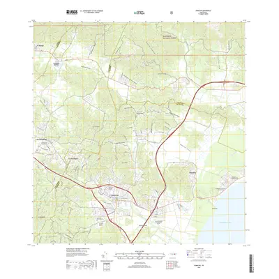
1958 Map of Humacao
USGS Topo · Published 1960About this map
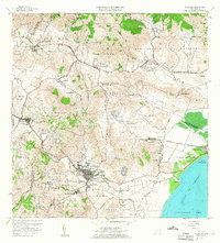
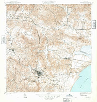
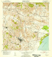
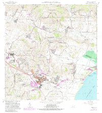
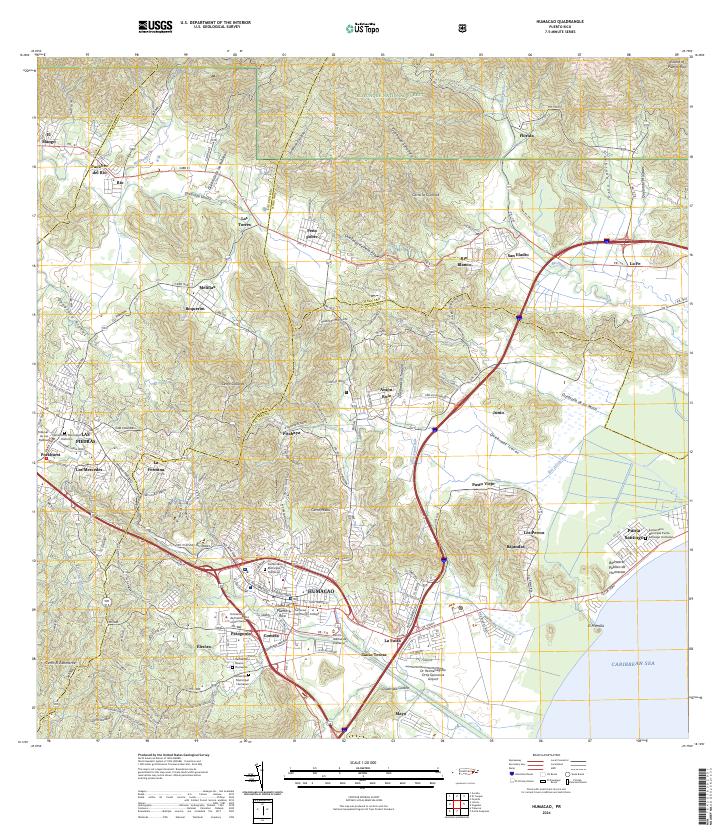
Humacao serves as the focal point of this late 1950s survey, showing a landscape defined by the sugar industry and hydroelectric power. The Central El Ejemplo sugar mill stands south of the town center, connected to the coast via the Fajardo Eastern Sugar Associates infrastructure. In the mountains to the north, the Planta Hidroeléctrica de Río Blanco underscores the region's developing utility network. The map reveals the intricate neighborhood divisions within the urban center, including San Francisco, Santo Domingo, San Juan, and Santiago. Moving toward the coast, the terrain transitions into the lowlands of Punta Santiago and the Puerto de Humacao along the Pasaje de Vieques. Rural life is marked by several educational institutions, such as the Escuela Agrícola Industrial San Antonio and Escuela Julia Hernández.
Find a feature on this map
91 named features on this map. Tap any name to fly to it.
Don’t see what you’re looking for? This feature index may not catch every label — zoom into the map to look around manually.
Map Details
Editions of this 1958 Humacao Map
This is the sole edition of this map. No revisions or reprints were ever made.
Historical Maps of Humacao Through Time
7 maps found
Featured Locations
- Las Piedras, Las Piedras
- Sector Los Tolentinos, Las Piedras
- Brisas del Río, Humacao
- Humacao, Humacao
- Sector El Cupey, Humacao