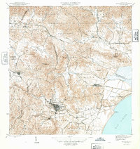
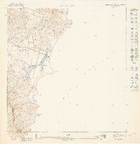
1946 Map of Humacao
USGS Topo · Published 1946About this map
Humacao sits as a bustling hub of agricultural and industrial activity in the mid-1940s, surrounded by a landscape defined by the sugar economy. The map reveals a dense network of industrial sites like Central Pasto Viejo and Central El Ejemplo, connected by the specialized Ferrocarril de Pasto Viejo and the broader Ferrocarriles de Puerto Rico line. In the town center, distinct neighborhoods such as Santo Domingo, San Francisco, and Santiago are clearly delineated, offering a precise look at urban density before later 20th-century expansion.
Find a feature on this map
72 named features on this map. Tap any name to fly to it.
Don’t see what you’re looking for? This feature index may not catch every label — zoom into the map to look around manually.
Map Details
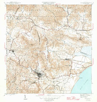
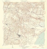
Editions of this 1946 Humacao Map
4 editions found
Other maps of this area

1945 · El Yunque
USGS Topo · 1:30,000

1946 · El Yunque
USGS Topo · 1:30,000

1946 · Humacao
USGS Topo · 1:30,000

1946 · Punta Guayanes
USGS Topo · 1:30,000

1946 · Gurabo
USGS Topo · 1:30,000

1946 · Juncos
USGS Topo · 1:30,000

1946 · Yabucoa
USGS Topo · 1:30,000

1946 · Naguabo
USGS Topo · 1:30,000
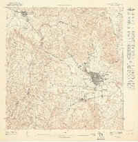
1947 · Humacao SO
USGS Topo · 1:10,000
1947 · Punta Guayanes NE
USGS Topo · 1:10,000