Loading...
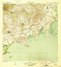
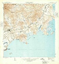
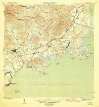
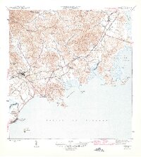
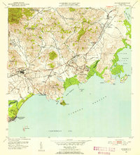
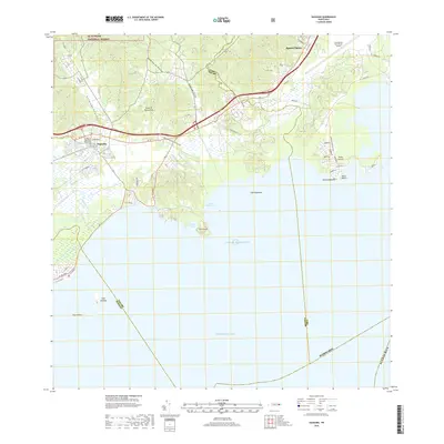
Loading map...1946 Map of Naguabo
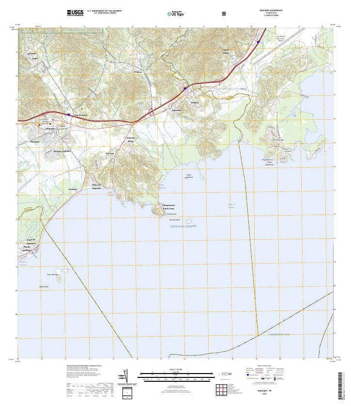
USGS Topo · Published 1946About this map
The coastal sugarcane economy of eastern Puerto Rico is meticulously detailed in this mid-1940s survey. The landscape is dominated by the Ferrocarril de Naguabo, which connects the inland town of Naguabo to its shipping points and the extensive industrial agriculture system. Numerous agricultural colonies, such as Colonia Aguas Claras, Colonia San Cristóbal, and Colonia Esperanza, illustrate the intensive land use of the era, where small settlements were established specifically to support the surrounding haciendas.
Find a feature on this map
45 named features on this map. Tap any name to fly to it.
Don’t see what you’re looking for? This feature index may not catch every label — zoom into the map to look around manually.
Map Details
Date Portrayed1946
Date Published1946
PublisherU.S. Geological Survey
Map TypeTopographic
Scale1:30,000
Physical Dimensions19.4 x 21.2 inches
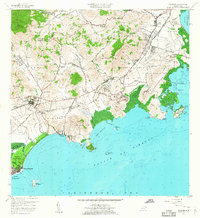
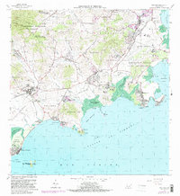
Editions of this 1946 Naguabo Map
4 editions found
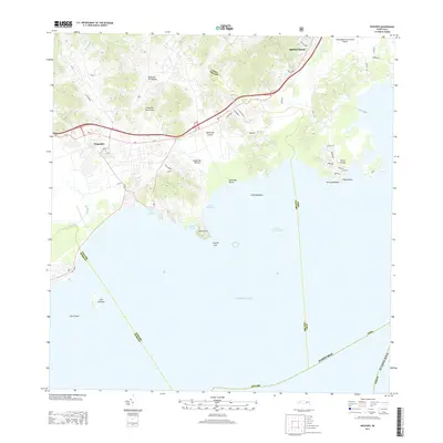
Historical Maps of Ceiba Through Time
7 maps found
Featured Locations
Source Details
SourceU.S. Geological Survey
CopyrightPublic Domain