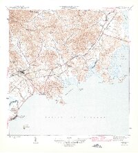
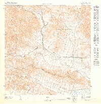
1946 Map of Naguabo
USGS Topo · Published 1946About this map
Sugar production and coastal rail networks define this eastern Puerto Rican landscape during the mid-1940s. The town of Naguabo serves as a central hub, surrounded by a dense network of agricultural colonies such as Colonia San Cristobal, Colonia San Luis, and Colonia Aguas Claras. These estates are connected by the intricate tracks of the Ferrocarril de Fajardo and the Linea Fajardo, which facilitated the movement of cane to mills and ports. Along the shoreline, the community of Playa de Naguabo and the nearby Naval Reservation Guayacán highlight the intersection of local commerce and military presence. Further north, Ceiba sits near the headwaters of the Río Fajardo, while the southern reaches follow the coastline to Playa de Humacao, providing a clear record of the region's pre-industrial infrastructure and coastal settlement patterns.
Find a feature on this map
66 named features on this map. Tap any name to fly to it.
Don’t see what you’re looking for? This feature index may not catch every label — zoom into the map to look around manually.
Map Details
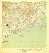
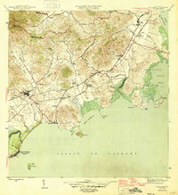
Editions of this 1946 Naguabo Map
4 editions found
Other maps of this area

1945 · El Yunque
USGS Topo · 1:30,000

1946 · El Yunque
USGS Topo · 1:30,000

1946 · Humacao
USGS Topo · 1:30,000

1946 · Punta Puerca
USGS Topo · 1:30,000

1946 · Naguabo
USGS Topo · 1:30,000

1946 · Fajardo
USGS Topo · 1:30,000
1947 · Humacao SE
USGS Topo · 1:10,000

1947 · El Yunque SE
USGS Topo · 1:10,000
1947 · Humacao NE
USGS Topo · 1:10,000

1947 · Naguabo NE
USGS Topo · 1:10,000