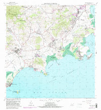
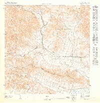
1967 Map of Naguabo
USGS Topo · Published 1982About this map
Ceiba and Naguabo anchor this coastal survey, where the foothills of the Caribbean National Forest meet the Pasaje de Vieques. The landscape reflects a specialized military and civil infrastructure, dominated by the Roosevelt Roads Naval Reservation and its network of named drives like Forrestal Drive and Langley Road. Along the shoreline, traditional fishing and maritime hubs such as Playa de Naguabo and Húcares sit near the mouth of the Rio Blanco.
Find a feature on this map
76 named features on this map. Tap any name to fly to it.
Don’t see what you’re looking for? This feature index may not catch every label — zoom into the map to look around manually.
Map Details
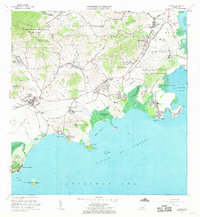
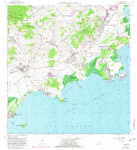
Editions of this 1967 Naguabo Map
3 editions found
Other maps of this area

1945 · El Yunque
USGS Topo · 1:30,000

1946 · El Yunque
USGS Topo · 1:30,000

1946 · Humacao
USGS Topo · 1:30,000

1946 · Punta Puerca
USGS Topo · 1:30,000

1946 · Naguabo
USGS Topo · 1:30,000

1946 · Fajardo
USGS Topo · 1:30,000
1947 · Humacao SE
USGS Topo · 1:10,000

1947 · El Yunque SE
USGS Topo · 1:10,000
1947 · Humacao NE
USGS Topo · 1:10,000

1947 · Naguabo NE
USGS Topo · 1:10,000