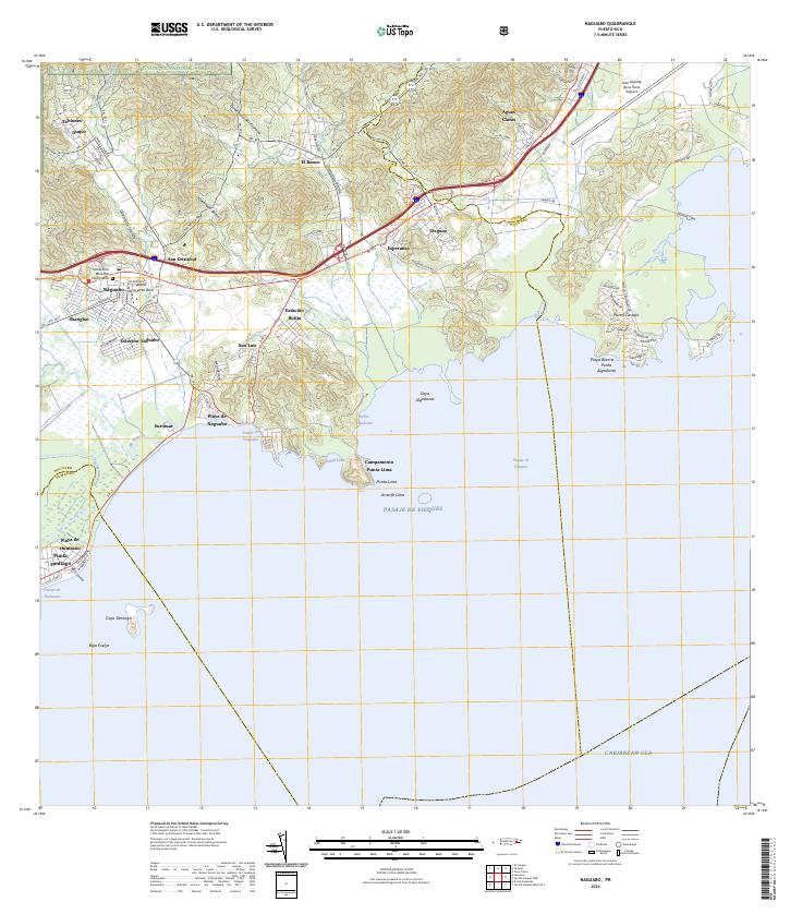
1967 Map of Naguabo
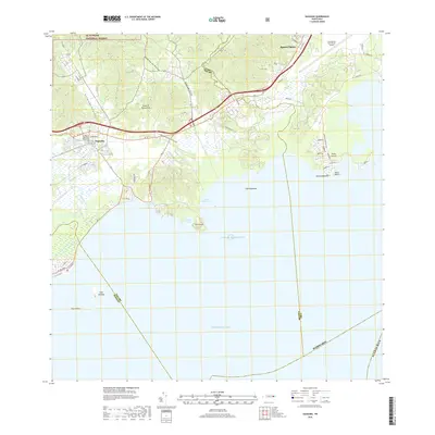
USGS Topo · Published 1982About this map
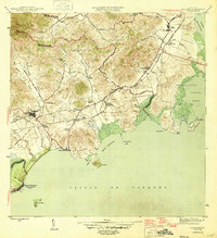
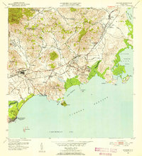
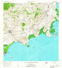
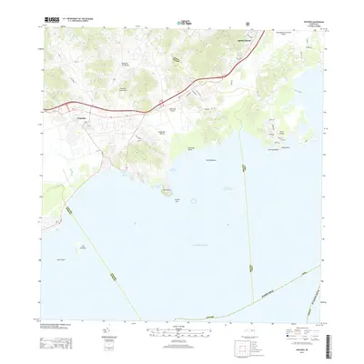
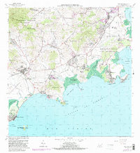
Coastal sugar production and military expansion define the eastern landscape of Puerto Rico as seen in this mid-century record. The Roosevelt Roads Naval Reservation occupies a massive portion of the shoreline, including Ofstie Field and Fort Bundy, showing the footprint of the U.S. Navy presence just north of Ensenada Honda. In the interior, the foothills of Cuchilla El Yunque drop toward the coastal plains of Húcares and Santiago y Lima. Local centers like Naguabo and Ceiba are linked by the coastal C Brewer road, while the inland Mariana district reveals established rural life through landmarks like the Escuela Segunda Unidad de Mariana and several scattered haciendas. This survey captures a moment when the region's agricultural past, evidenced by Hacienda Grande, existed alongside the high-security infrastructure of the Cold War era.
Find a feature on this map
84 named features on this map. Tap any name to fly to it.
Don’t see what you’re looking for? This feature index may not catch every label — zoom into the map to look around manually.
Map Details
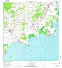
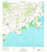
Editions of this 1967 Naguabo Map
3 editions found
Historical Maps of Ceiba Through Time
7 maps found