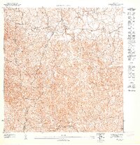
1947 Map of Juncos SE
USGS Topo · Published 1947About this map
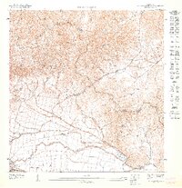
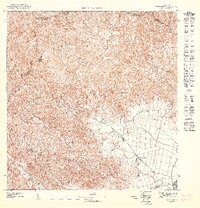
Cerro Vistazo Vabm 463.6 rises as a prominent landmark in this 1940s topographic survey, marking the complex intersection of four municipal territories. The landscape is defined by the headwaters of two major drainage systems: the Río Valenciano flowing toward the northwest and the Río Humacao descending to the southeast. These river valleys provide the primary structure for the region's network of trails and secondary roads during the mid-twentieth century.
Find a feature on this map
6 named features on this map. Tap any name to fly to it.
Don’t see what you’re looking for? This feature index may not catch every label — zoom into the map to look around manually.
Map Details
Editions of this 1947 Juncos SE Map
This is the sole edition of this map. No revisions or reprints were ever made.
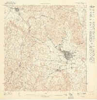
Other maps of this area
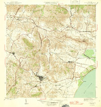
1946 · Humacao
USGS Topo · 1:30,000
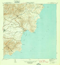
1946 · Punta Guayanes
USGS Topo · 1:30,000

1946 · Juncos
USGS Topo · 1:30,000

1946 · Yabucoa
USGS Topo · 1:30,000
1947 · Humacao SO
USGS Topo · 1:10,000
1947 · Punta Guayanes NO
USGS Topo · 1:10,000
1947 · Juncos NE
USGS Topo · 1:10,000
1947 · Juncos SO
USGS Topo · 1:10,000
1947 · Juncos NO
USGS Topo · 1:10,000
1947 · Yabucoa NE
USGS Topo · 1:10,000
Featured Places
- Cinco Cuerdas, Las Piedras
- Estancias del Prado, Las Piedras
- Sector Puesta del Sol, Las Piedras
- Sector Mingo Torres, Las Piedras
- Las Piedras