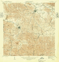
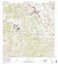
1946 Map of Juncos
USGS Topo · Published 1946About this map
Juncos and San Lorenzo serve as the primary urban hubs on this mid-1940s landscape, positioned along the winding courses of the Rio Gurabo and the Rio Grande de Loiza. The map reveals a transition from these concentrated town centers, such as Pueblo Norte and Pueblo Sud, into a series of highly defined barrios including Lirios, Ceiba, and Florida. The interior terrain is dominated by significant elevations like Cerro Gordo and Cerro Santa Ana, illustrating the challenging topography that historically shaped local travel and agriculture.
Find a feature on this map
52 named features on this map. Tap any name to fly to it.
Don’t see what you’re looking for? This feature index may not catch every label — zoom into the map to look around manually.
Map Details
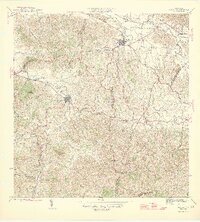
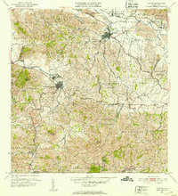
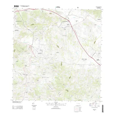
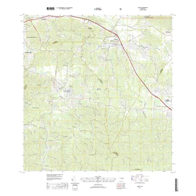
Editions of this 1946 Juncos Map
3 editions found

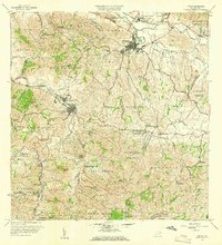
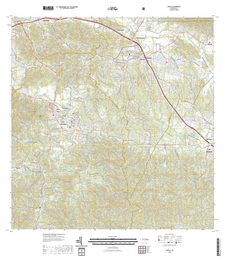
Historical Maps of San Lorenzo Through Time
7 maps found
Featured Locations
- Juncos, Juncos
- Sector Los Bruseles, San Lorenzo
- San Lorenzo, San Lorenzo
- Estancias del Prado, Las Piedras
- Sector Carmita Torres, Las Piedras