Loading...
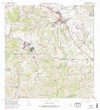
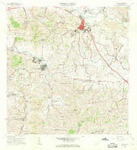
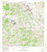
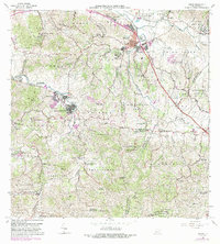
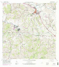
Loading map...1967 Map of Juncos
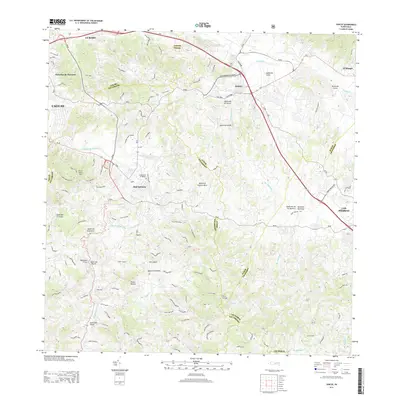
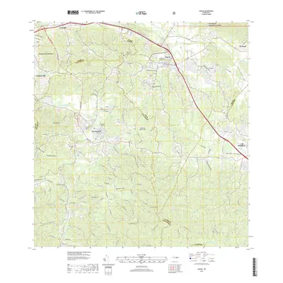
USGS Topo · Published 1988About this map
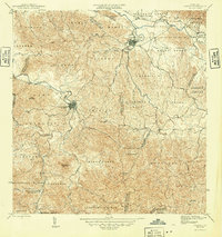
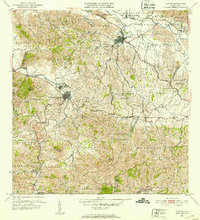
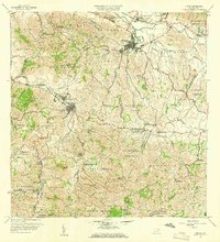
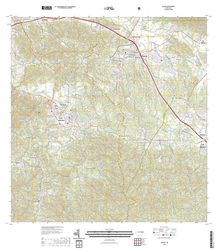
The agricultural and industrial character of eastern Puerto Rico is centered here at Central Juncos, a significant sugar mill facility near the confluence of the Río Gurabo and Río Valenciano. The urban center of Juncos is divided into Pueblo Norte and Pueblo Sur, featuring essential community landmarks such as the Cementerio Municipal and the Parque Atlético. To the southwest, the town of San Lorenzo borders the Río Grande de Loíza, serving the neighborhoods of Roosevelt and Santa Clara.
Find a feature on this map
99 named features on this map. Tap any name to fly to it.
Don’t see what you’re looking for? This feature index may not catch every label — zoom into the map to look around manually.
Map Details
Date Portrayed1967
Date Published1988
PublisherU.S. Geological Survey
Map TypeTopographic
Scale1:20,000
Physical Dimensions29.4 x 32.3 inches
Editions of this 1967 Juncos Map
5 editions found
Historical Maps of San Lorenzo Through Time
7 maps found
Featured Locations
- Juncos, Juncos
- Sector Los Bruseles, San Lorenzo
- San Lorenzo, San Lorenzo
- Estancias del Prado, Las Piedras
- Sector Carmita Torres, Las Piedras
Source Details
SourceU.S. Geological Survey
CopyrightPublic Domain