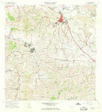
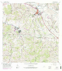
1967 Map of Juncos
USGS Topo · Published 1969About this map
Juncos serves as the focal point of this late-1960s survey, showing the concentrated urban core of Pueblo Norte and Pueblo Sur situated at the confluence of the Río Gurabo and Río Valenciano. The industrial presence of Central Juncos and the Planta de Tratamiento de Aguas Negras indicate the local infrastructure, while the Parque Atlético and Cementerio Municipal anchor the community's social landscape.
Find a feature on this map
123 named features on this map. Tap any name to fly to it.
Don’t see what you’re looking for? This feature index may not catch every label — zoom into the map to look around manually.
Map Details
Editions of this 1967 Juncos Map
5 editions found
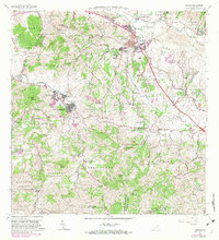
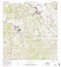
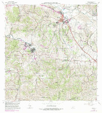
Other maps of this area

1945 · El Yunque
USGS Topo · 1:30,000

1946 · Patillas
USGS Topo · 1:30,000

1946 · El Yunque
USGS Topo · 1:30,000

1946 · Aguas Buenas
USGS Topo · 1:30,000

1946 · Humacao
USGS Topo · 1:30,000

1946 · Punta Guayanes
USGS Topo · 1:30,000

1946 · Gurabo
USGS Topo · 1:30,000

1946 · Juncos
USGS Topo · 1:30,000

1946 · Yabucoa
USGS Topo · 1:30,000

1946 · Caguas
USGS Topo · 1:30,000
Featured Places
- San Lorenzo
- Juncos
- Estancias del Prado, Las Piedras
- Sector Carmita Torres, Las Piedras
- Sector Los Bruseles, San Lorenzo