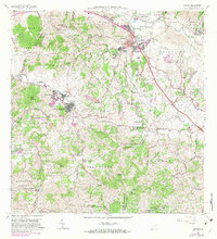
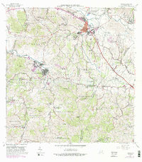
1967 Map of Juncos
USGS Topo · Published 1982About this map
Juncos and San Lorenzo anchor this landscape during a period of infrastructure expansion in east-central Puerto Rico. The confluence of the Rio Gurabo and the Rio Valenciano highlights a valley floor heavily occupied by residential barrios and agricultural schools. The map reveals the civic fabric of the late 1960s, documenting numerous rural education sites such as Escuela Mamey N0 1 and Escuela Florida Arriba, alongside industrial features like the Planta de Purificacion and a Cantera.
Find a feature on this map
112 named features on this map. Tap any name to fly to it.
Don’t see what you’re looking for? This feature index may not catch every label — zoom into the map to look around manually.
Map Details
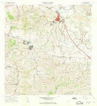
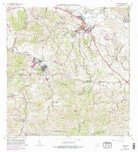
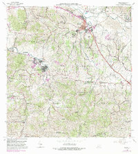
Editions of this 1967 Juncos Map
5 editions found
Other maps of this area

1945 · El Yunque
USGS Topo · 1:30,000

1946 · Patillas
USGS Topo · 1:30,000

1946 · El Yunque
USGS Topo · 1:30,000

1946 · Aguas Buenas
USGS Topo · 1:30,000

1946 · Humacao
USGS Topo · 1:30,000

1946 · Punta Guayanes
USGS Topo · 1:30,000

1946 · Gurabo
USGS Topo · 1:30,000

1946 · Juncos
USGS Topo · 1:30,000

1946 · Yabucoa
USGS Topo · 1:30,000

1946 · Caguas
USGS Topo · 1:30,000
Featured Places
- San Lorenzo
- Juncos
- Estancias del Prado, Las Piedras
- Sector Carmita Torres, Las Piedras
- Sector Los Bruseles, San Lorenzo