Old Maps of Pastos, Aibonito for Hiking & Exploration
Hike through history with 8 historic maps of Pastos. Explore old trails, ghost towns, and forgotten backroads — perfect for outdoor adventurers and local explorers.
- Rediscover forgotten places: Map out old mining camps, roads, and footpaths that no longer exist on modern maps.
- Layer with modern tools: Combine with LiDAR or satellite views to plan hikes through historical terrain.
- Made for exploration: Popular among hikers, overlanders, and local history lovers.
Use these maps to find adventure and explore the hidden past of Pastos.
Pastos, Aibonito maps
(8)- 1946 Map of Coamo
 1946 Coamo1946 Print · USGSThe town of Coamo and its surrounding haciendas are captured in the mid-1940s just as the historic mountain roads were modernizing. Genealogists and local historians can locate family estates like Hacienda Esmeralda and Hacienda San José or trace the route to Baños de Coamo.
 - 1947 Map of Coamo NE
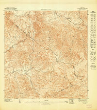 1947 Coamo NE1947 Print · USGSThe Puerto Rican interior in the late 1940s is shown here along the high ridges of the Cordillera Central. Trace rural life near the Escuela Federico Degetau and the settlements of Jácana and La Guaba before modern development altered the valley floors.
 - 1952 Map of Coamo, 1953 Print
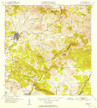 1952 Coamo1953 Print · USGSMid-century Puerto Rico is captured here during a period of transition between its historic hacienda economy and modern development. Researchers can trace family roots through named estates like Hacienda Esmeralda or visit the famous thermal springs at Baños de Coamo.2 unique versions available
 - 1960 Map of Coamo, 1962 Print
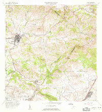 1960 Coamo1962 Print · USGSThe southern foothills of the Cordillera Central come into focus in the early sixties, centered on the growing town of Coamo. Researchers can locate historic agricultural sites like Hacienda Buena Vista or trace the boundaries of the Salinas Training Area.2 unique versions available
 - 1972 Map of Coamo, 1973 Print
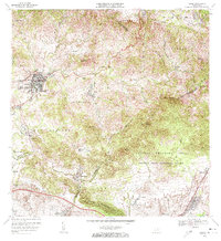 1972 Coamo1973 Print · USGSThe town of Coamo sits at the edge of the Cordillera Central in the early seventies, showing a landscape of traditional haciendas and modern military training grounds. Genealogists can locate family names and sites like Hacienda Buena Vista, San Diego, and the Escuela Federico Degetau.3 unique versions available
 - 2013 Map of Coamo, 2013 Print
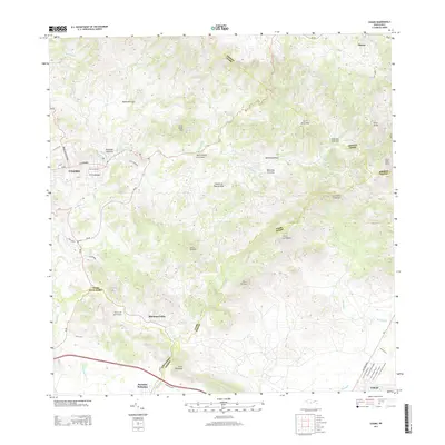 2013 Coamo2013 Print · USGSCoamo and its surrounding mountains are captured in detail during the early twenty-first century. Researchers can trace local neighborhoods and landmarks like Villa Cristina, Mariano Colón, and the waters of the Rio Coamo across this terrain.
 - 2018 Map of Coamo, 2018 Print
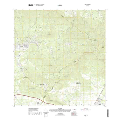 2018 Coamo2018 Print · USGSThe southern slopes of Puerto Rico's central mountains come alive here during the late twenty-tens. Genealogists and local historians can trace the streets of Coamo and locate rural communities like Mariano Colón, Coco, and Pastos.
 - 2024 Map of Coamo, 2024 Print
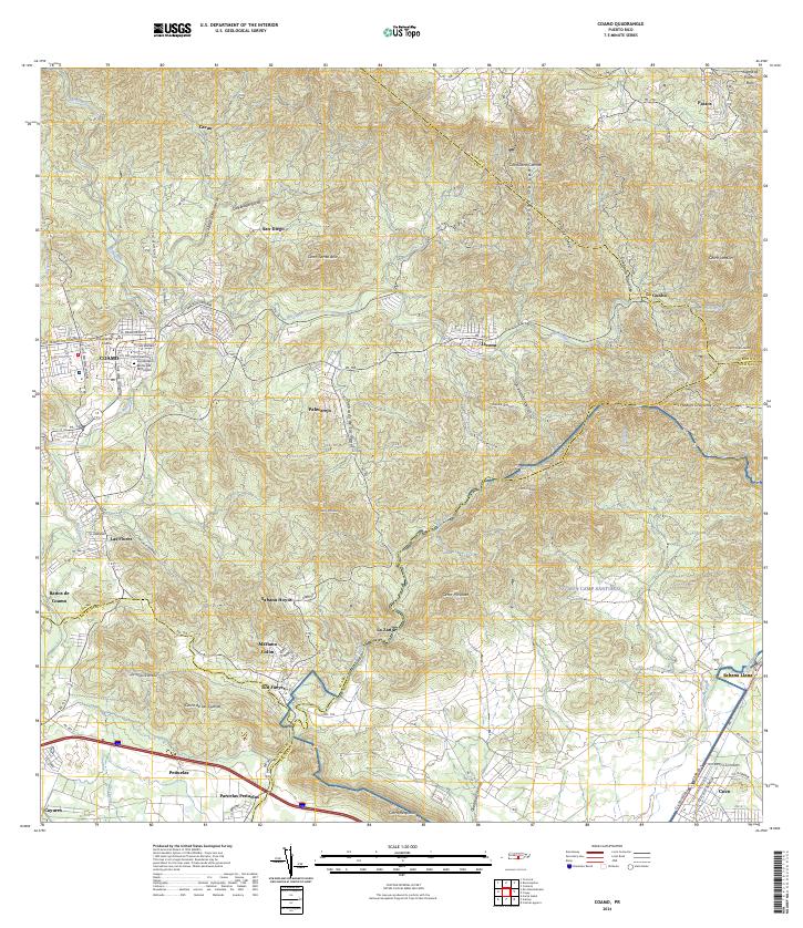 2024 Coamo2024 Print · USGSThe foothills of the Cordillera Central come alive in this modern survey of the historic Coamo region. Local researchers can trace family roots through settlements like Mariano Colón, the Cementerio Municipal de Coamo, and the storied Baños de Coamo.
End of results
Showing maps 1-8 of 8
Frequently asked questions
- What are the different types of historical maps available for Pastos?
- What is the oldest map of Pastos?
- Where can I purchase historical maps of Pastos for my home or office?
- Where can I download high-res historical maps of Pastos?
- Are there historical topographic maps available for Pastos?
- Is there historical aerial imagery available for Pastos?
- Where are historical maps of Pastos sourced from?