2000s (21st Century) Maps of Arecibo
Explore 17 historic maps of Arecibo from the 2000s (21st Century). These maps offer a rare glimpse into what life looked like during the 2000s — showing old roads, neighborhoods, homes, and landmarks that have changed or disappeared over time.
Whether you're researching your family's past, planning a metal detecting trip, or studying how Arecibo's landscape evolved across the 2000s, these high-resolution maps are a powerful tool for exploring the history of this region.
- Focus on a specific era: All maps on this page are from the 2000s, giving you a focused view of this time period.
- See what’s changed: Compare century-old streets, trails, and buildings to today's modern landscape using overlays and satellite layers.
- Research with precision: Use these maps for genealogy, historical research, land use analysis, or educational projects.
- View, download, or print: Maps are fully viewable online in high resolution, and can be downloaded or printed for your own records.
Start exploring Arecibo's history through authentic maps from the 2000s. This is your window into the past.
Arecibo maps
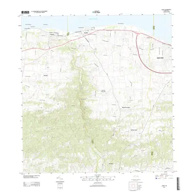
(17)- 2013 Map of Barceloneta, 2013 Print
 2013 Barceloneta2013 Print · USGSCovers Arecibo, including Barceloneta, Sector Cerro Morales, and other nearby areas
 - 2013 Map of Florida, 2013 Print
 2013 Florida2013 Print · USGSCovers Arecibo, including Florida, Hacienda San José, and other nearby areas
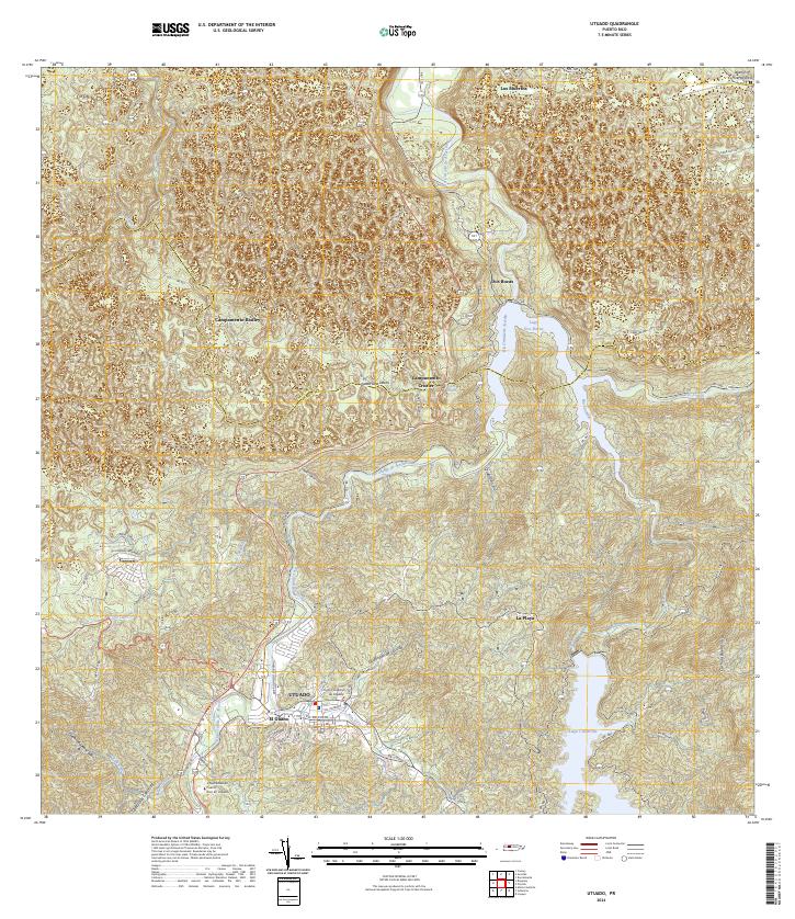
 - 2013 Map of Utuado, 2013 Print
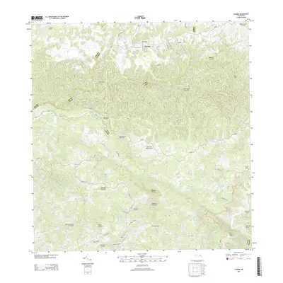
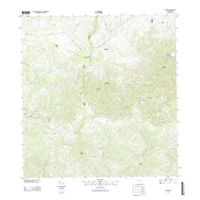
 2013 Utuado2013 Print · USGSCovers Arecibo, including Utuado, Jobales, and other nearby areas
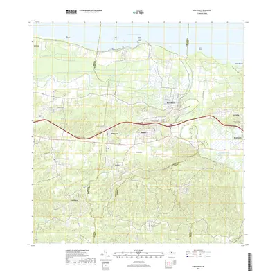
 - 2013 Map of Arecibo, 2013 Print
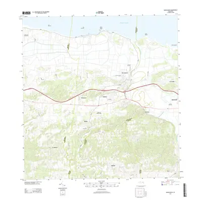
 2013 Arecibo2013 Print · USGSCovers Arecibo, including Ballajá, Central Los Caños, and other nearby areas
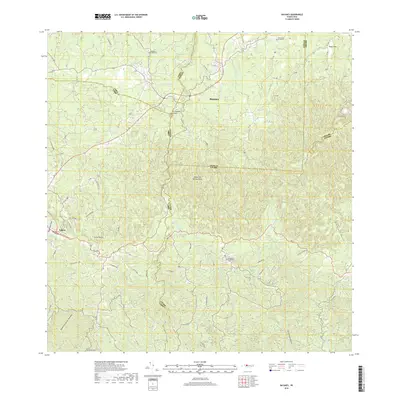
 - 2013 Map of Bayaney, 2013 Print
 2013 Bayaney2013 Print · USGSCovers Arecibo, including Alturas de Quebrada, Parcelas Miria, and other nearby areas
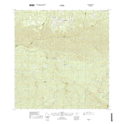
 - 2013 Map of Camuy, 2013 Print
 2013 Camuy2013 Print · USGSCovers Arecibo, including Hatillo, Camuy, and other nearby areas
 - 2018 Map of Camuy, 2018 Print
 2018 Camuy2018 Print · USGSCovers Arecibo, including Hatillo, Camuy, and other nearby areas
 - 2018 Map of Arecibo, 2018 Print
 2018 Arecibo2018 Print · USGSCovers Arecibo, including Ballajá, Central Los Caños, and other nearby areas
 - 2018 Map of Barceloneta, 2018 Print
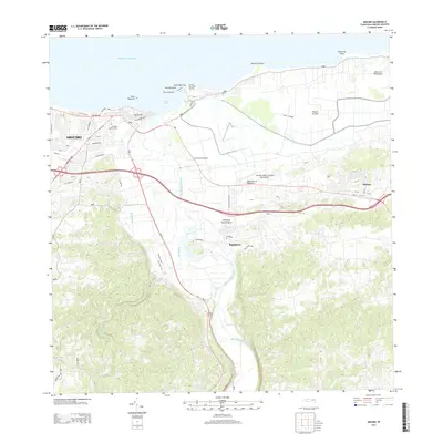
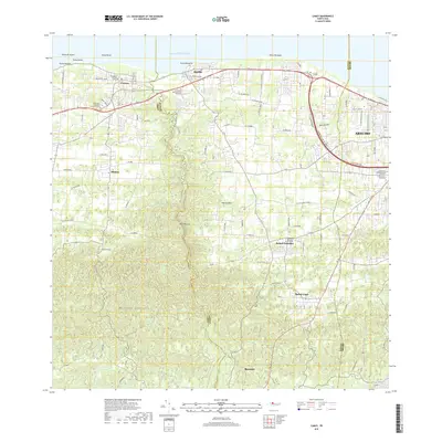
 2018 Barceloneta2018 Print · USGSCovers Arecibo, including Barceloneta, Sector Cerro Morales, and other nearby areas
 - 2018 Map of Bayaney, 2018 Print
 2018 Bayaney2018 Print · USGSCovers Arecibo, including Alturas de Quebrada, Parcelas Miria, and other nearby areas
 - 2018 Map of Florida, 2018 Print
 2018 Florida2018 Print · USGSCovers Arecibo, including Florida, Hacienda San José, and other nearby areas
 - 2024 Map of Camuy, 2024 Print
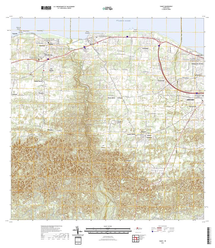 2024 Camuy2024 Print · USGSThe northern coast of Puerto Rico comes into focus in this contemporary study of the maritime and mountain divide. Researchers can locate family landmarks like the Cementerio Viejo de Camuy or trace the path of the Rio Camuy through Salto Máquina.
 - 2024 Map of Utuado, 2024 Print
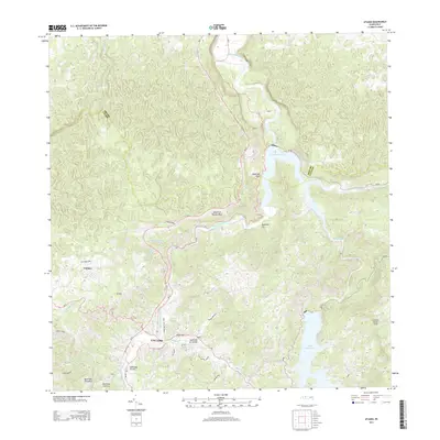
 2024 Utuado2024 Print · USGSThe mountain interior of Puerto Rico is revealed here in the 2020s, centered on the historic town and its river-carved valleys. Researchers can trace the local infrastructure from the university to rural settlements near Lago Dos Bocas and Cayuco.
 - 2024 Map of Arecibo, 2024 Print
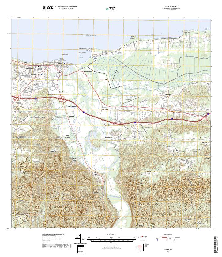 2024 Arecibo2024 Print · USGSCoastal Arecibo in the early twenty-first century exhibits a vibrant mix of urban university life and deep-rooted agricultural landscapes. Researchers can trace local heritage from the Cementerio Municipal de Arecibo to the industrial site at Central Los Caños.
 - 2024 Map of Barceloneta, 2024 Print
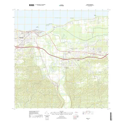
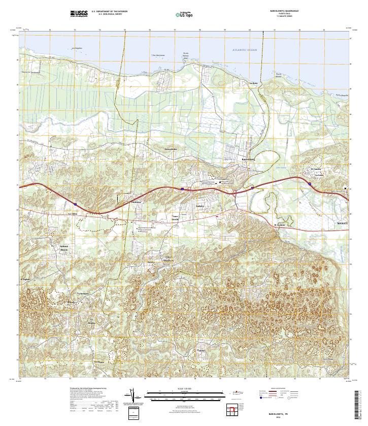 2024 Barceloneta2024 Print · USGSThe north coast of Puerto Rico comes alive in this survey of the river-and-road network around the Río Grande de Manatí. Researchers can trace local history through the Cementerio Municipal Barceloneta Viejo and old coastal settlements like La Boca.
 - 2024 Map of Bayaney, 2024 Print
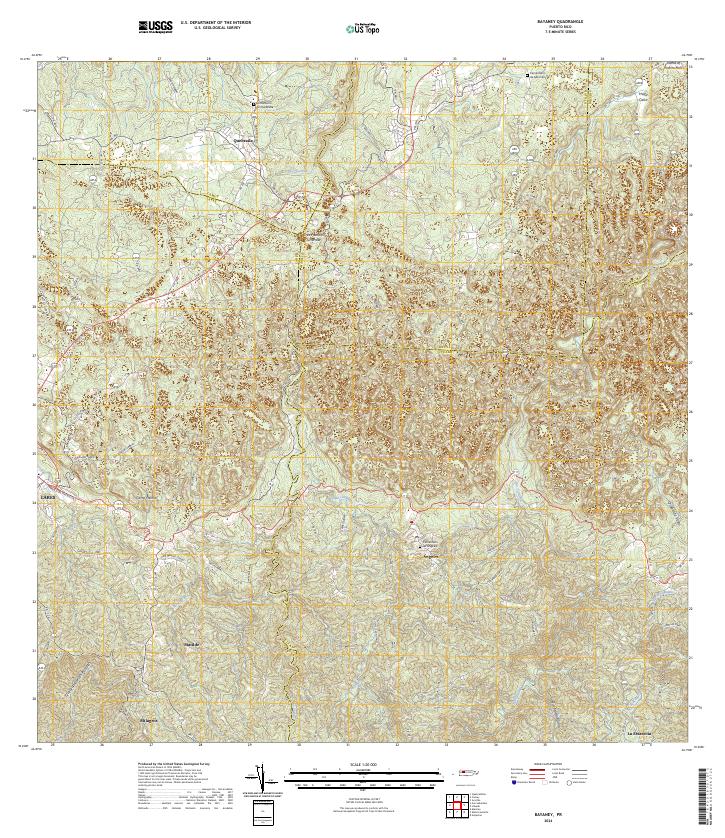 2024 Bayaney2024 Print · USGSThe karst landscape and river valleys of the Puerto Rican interior are meticulously detailed in this recent survey. Researchers can trace rural family roots through features like the Cementerio de Quebrada and the Tres Pueblos Sinkhole near Ángeles.
 - 2024 Map of Florida, 2024 Print
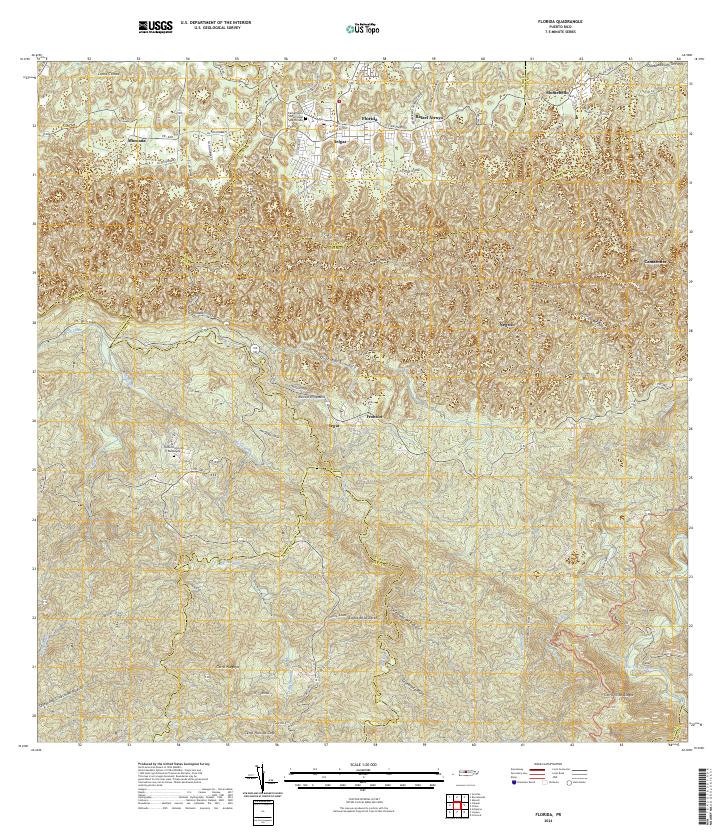 2024 Florida2024 Print · USGSThe central highlands of Puerto Rico come into focus in this contemporary survey, revealing the complex boundary lines and mountain peaks of the interior. Researchers can trace family ties through settlements like Florida and Selgas or locate the Cementerio Municipal de Florida.
End of results
Showing maps 1-17 of 17
Frequently asked questions
- What are the different types of historical maps available for Arecibo?
- What is the oldest map of Arecibo?
- Where can I purchase historical maps of Arecibo for my home or office?
- Where can I download high-res historical maps of Arecibo?
- Are there historical topographic maps available for Arecibo?
- Is there historical aerial imagery available for Arecibo?
- Where are historical maps of Arecibo sourced from?