Old Maps of Sabana Hoyos, Arecibo
Explore 21 old maps of Sabana Hoyos, spanning from 1942 to today. These high-resolution historic maps reveal how streets, neighborhoods, landmarks, and natural features evolved over time — perfect for genealogy, metal detecting, research, and local history exploration.
What you can do with these maps:
- See how Sabana Hoyos changed over time: Compare historical maps to modern-day views to trace roads, homesites, rail lines & more.
- View detailed metadata: Each map includes creators, publishers, year, scale, and archive source.
- Overlay maps with satellite & LiDAR: Visualize the past alongside modern tools to explore terrain & human change.
- Trusted historical sources: Maps sourced from the USGS, Library of Congress, and other archives.
- Access maps your way: View online, download high-res files, or order prints for personal or research use.
Start exploring old maps of Sabana Hoyos to uncover forgotten places, hidden landmarks, and the deep history beneath your feet.
Sabana Hoyos, Arecibo maps
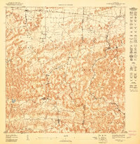
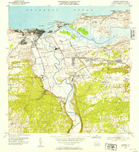
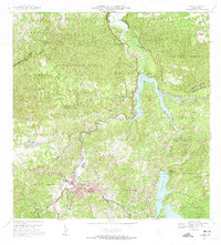
(21)- 1942 Map of Arecibo
 1942 Arecibo1942 Print · USGSCovers Sabana Hoyos, including Arecibo, Reparto Capitolio, and other nearby areas
 - 1942 Map of Barceloneta
 1942 Barceloneta1942 Print · USGSCovers Sabana Hoyos, including Barceloneta, Allende, and other nearby areas
 - 1943 Map of Utuado NE
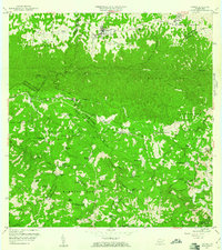
 1943 Utuado NE1943 Print · USGSCovers Sabana Hoyos, including El Valle, Las Caninas II, and other nearby areas
 - 1946 Map of Barceloneta
 1946 Barceloneta1946 Print · USGSCovers Sabana Hoyos, including Barceloneta, Allende, and other nearby areas
 - 1946 Map of Utuado
 1946 Utuado1946 Print · USGSCovers Sabana Hoyos, including Utuado, Sector Campo Alegre, and other nearby areas2 unique versions available
 - 1946 Map of Arecibo
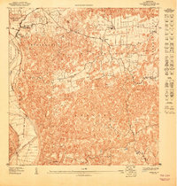
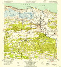
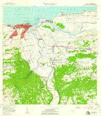
 1946 Arecibo1946 Print · USGSCovers Sabana Hoyos, including Arecibo, Reparto Capitolio, and other nearby areas3 unique versions available
 - 1946 Map of Florida
 1946 Florida1946 Print · USGSCovers Sabana Hoyos, including Florida, Montaña, and other nearby areas2 unique versions available
 - 1947 Map of Barceloneta SO
 1947 Barceloneta SO1947 Print · USGSCovers Sabana Hoyos, including Allende, Asomante, and other nearby areas
 - 1947 Map of Arecibo SE
 1947 Arecibo SE1947 Print · USGSCovers Sabana Hoyos, including Ballajá, Biáfara, and other nearby areas
 - 1950 Map of Arecibo NE
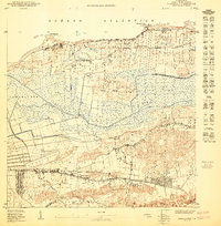 1950 Arecibo NE1950 Print · USGSCovers Sabana Hoyos, including Reparto Capitolio, Reparto Los Maestros, and other nearby areas
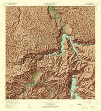
 - 1952 Map of Utuado, 1953 Print
 1952 Utuado1953 Print · USGSCovers Sabana Hoyos, including Utuado, Sector Campo Alegre, and other nearby areas
 - 1952 Map of Florida, 1953 Print
 1952 Florida1953 Print · USGSCovers Sabana Hoyos, including Florida, Montaña, and other nearby areas
 - 1953 Map of Arecibo, 1954 Print
 1953 Arecibo1954 Print · USGSCovers Sabana Hoyos, including Arecibo, Reparto Capitolio, and other nearby areas
 - 1953 Map of Barceloneta, 1954 Print
 1953 Barceloneta1954 Print · USGSCovers Sabana Hoyos, including Barceloneta, Allende, and other nearby areas
 - 1957 Map of Utuado
 1957 Utuado1957 Print · USGSCovers Sabana Hoyos, including Utuado, Sector Campo Alegre, and other nearby areas4 unique versions available
 - 1957 Map of Barceloneta, 1961 Print
 1957 Barceloneta1961 Print · USGSCovers Sabana Hoyos, including Barceloneta, Allende, and other nearby areas
 - 1957 Map of Florida, 1961 Print
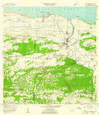
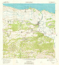
 1957 Florida1961 Print · USGSCovers Sabana Hoyos, including Florida, Montaña, and other nearby areas4 unique versions available
 - 1957 Map of Arecibo, 1961 Print
 1957 Arecibo1961 Print · USGSCovers Sabana Hoyos, including Arecibo, Reparto Capitolio, and other nearby areas
 - 1964 Map of Arecibo, 1968 Print
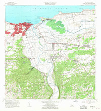 1964 Arecibo1968 Print · USGSCovers Sabana Hoyos, including Arecibo, Reparto Capitolio, and other nearby areas4 unique versions available
 - 1969 Map of Barceloneta, 1973 Print
 1969 Barceloneta1973 Print · USGSCovers Sabana Hoyos, including Barceloneta, Allende, and other nearby areas3 unique versions available
 - 1972 Map of Utuado, 1974 Print
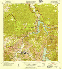
 1972 Utuado1974 Print · USGSCovers Sabana Hoyos, including Utuado, Sector Campo Alegre, and other nearby areas5 unique versions available
End of results
Showing maps 1-21 of 21
Frequently asked questions
- What are the different types of historical maps available for Sabana Hoyos?
- What is the oldest map of Sabana Hoyos?
- Where can I purchase historical maps of Sabana Hoyos for my home or office?
- Where can I download high-res historical maps of Sabana Hoyos?
- Are there historical topographic maps available for Sabana Hoyos?
- Is there historical aerial imagery available for Sabana Hoyos?
- Where are historical maps of Sabana Hoyos sourced from?