Old Maps of Sabana Hoyos, Arecibo for Hiking & Exploration
Hike through history with 21 historic maps of Sabana Hoyos. Explore old trails, ghost towns, and forgotten backroads — perfect for outdoor adventurers and local explorers.
- Rediscover forgotten places: Map out old mining camps, roads, and footpaths that no longer exist on modern maps.
- Layer with modern tools: Combine with LiDAR or satellite views to plan hikes through historical terrain.
- Made for exploration: Popular among hikers, overlanders, and local history lovers.
Use these maps to find adventure and explore the hidden past of Sabana Hoyos.
Sabana Hoyos, Arecibo maps
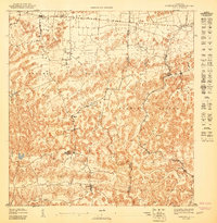
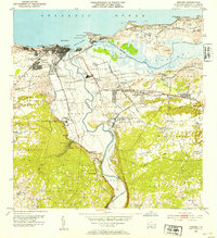
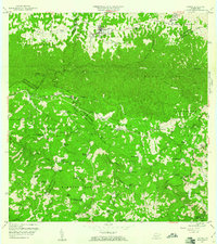
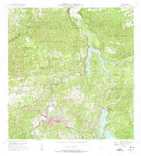
(21)- 1942 Map of Arecibo
 1942 Arecibo1942 Print · USGSCovers Sabana Hoyos, including Arecibo, Reparto Capitolio, and other nearby areas
 - 1942 Map of Barceloneta
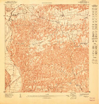
 1942 Barceloneta1942 Print · USGSCovers Sabana Hoyos, including Barceloneta, Allende, and other nearby areas
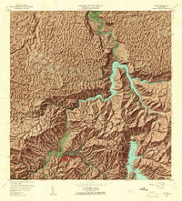
 - 1943 Map of Utuado NE
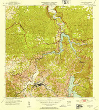
 1943 Utuado NE1943 Print · USGSCovers Sabana Hoyos, including El Valle, Las Caninas II, and other nearby areas
 - 1946 Map of Barceloneta
 1946 Barceloneta1946 Print · USGSCovers Sabana Hoyos, including Barceloneta, Allende, and other nearby areas
 - 1946 Map of Utuado
 1946 Utuado1946 Print · USGSCovers Sabana Hoyos, including Utuado, Sector Campo Alegre, and other nearby areas2 unique versions available
 - 1946 Map of Arecibo
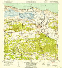
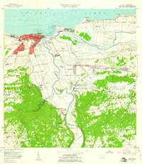
 1946 Arecibo1946 Print · USGSCovers Sabana Hoyos, including Arecibo, Reparto Capitolio, and other nearby areas3 unique versions available
 - 1946 Map of Florida
 1946 Florida1946 Print · USGSCovers Sabana Hoyos, including Florida, Montaña, and other nearby areas2 unique versions available
 - 1947 Map of Barceloneta SO
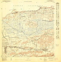
 1947 Barceloneta SO1947 Print · USGSCovers Sabana Hoyos, including Allende, Asomante, and other nearby areas
 - 1947 Map of Arecibo SE
 1947 Arecibo SE1947 Print · USGSCovers Sabana Hoyos, including Ballajá, Biáfara, and other nearby areas
 - 1950 Map of Arecibo NE
 1950 Arecibo NE1950 Print · USGSCovers Sabana Hoyos, including Reparto Capitolio, Reparto Los Maestros, and other nearby areas
 - 1952 Map of Utuado, 1953 Print
 1952 Utuado1953 Print · USGSCovers Sabana Hoyos, including Utuado, Sector Campo Alegre, and other nearby areas
 - 1952 Map of Florida, 1953 Print
 1952 Florida1953 Print · USGSCovers Sabana Hoyos, including Florida, Montaña, and other nearby areas
 - 1953 Map of Arecibo, 1954 Print
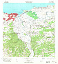
 1953 Arecibo1954 Print · USGSCovers Sabana Hoyos, including Arecibo, Reparto Capitolio, and other nearby areas
 - 1953 Map of Barceloneta, 1954 Print
 1953 Barceloneta1954 Print · USGSCovers Sabana Hoyos, including Barceloneta, Allende, and other nearby areas
 - 1957 Map of Utuado
 1957 Utuado1957 Print · USGSCovers Sabana Hoyos, including Utuado, Sector Campo Alegre, and other nearby areas4 unique versions available
 - 1957 Map of Barceloneta, 1961 Print
 1957 Barceloneta1961 Print · USGSCovers Sabana Hoyos, including Barceloneta, Allende, and other nearby areas
 - 1957 Map of Florida, 1961 Print
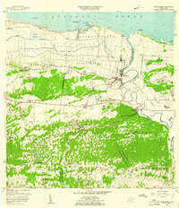
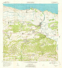
 1957 Florida1961 Print · USGSCovers Sabana Hoyos, including Florida, Montaña, and other nearby areas4 unique versions available
 - 1957 Map of Arecibo, 1961 Print
 1957 Arecibo1961 Print · USGSCovers Sabana Hoyos, including Arecibo, Reparto Capitolio, and other nearby areas
 - 1964 Map of Arecibo, 1968 Print
 1964 Arecibo1968 Print · USGSCovers Sabana Hoyos, including Arecibo, Reparto Capitolio, and other nearby areas4 unique versions available
 - 1969 Map of Barceloneta, 1973 Print
 1969 Barceloneta1973 Print · USGSCovers Sabana Hoyos, including Barceloneta, Allende, and other nearby areas3 unique versions available
 - 1972 Map of Utuado, 1974 Print
 1972 Utuado1974 Print · USGSCovers Sabana Hoyos, including Utuado, Sector Campo Alegre, and other nearby areas5 unique versions available
End of results
Showing maps 1-21 of 21
Frequently asked questions
- What are the different types of historical maps available for Sabana Hoyos?
- What is the oldest map of Sabana Hoyos?
- Where can I purchase historical maps of Sabana Hoyos for my home or office?
- Where can I download high-res historical maps of Sabana Hoyos?
- Are there historical topographic maps available for Sabana Hoyos?
- Is there historical aerial imagery available for Sabana Hoyos?
- Where are historical maps of Sabana Hoyos sourced from?