1960s Maps of Bayamón
Explore 6 historic maps of Bayamón from the 1960s. These maps offer a rare glimpse into what life looked like during the 1960s — showing old roads, neighborhoods, homes, and landmarks that have changed or disappeared over time.
Whether you're researching your family's past, planning a metal detecting trip, or studying how Bayamón's landscape evolved across the 1960s, these high-resolution maps are a powerful tool for exploring the history of this region.
- Focus on a specific era: All maps on this page are from the 1960s, giving you a focused view of this time period.
- See what’s changed: Compare century-old streets, trails, and buildings to today's modern landscape using overlays and satellite layers.
- Research with precision: Use these maps for genealogy, historical research, land use analysis, or educational projects.
- View, download, or print: Maps are fully viewable online in high resolution, and can be downloaded or printed for your own records.
Start exploring Bayamón's history through authentic maps from the 1960s. This is your window into the past.
Bayamón maps
(6)- 1963 Map of Bayamon, 1965 Print
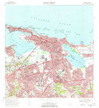
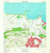 1963 Bayamon1965 Print · USGSBayamón and the surrounding coastal barrios are captured during a period of rapid development and military importance in the early sixties. Researchers can trace family roots through the Puerto Rico National Cemetery or locate historic industrial sites like Central Juanita and the Planta Termelectrica De Palo Seco.
 - 1963 Map of Naranjito, 1965 Print
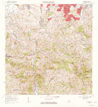
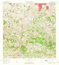 1963 Naranjito1965 Print · USGSNaranjito and the Puerto Rican interior are shown here during a period of rapid development in the 1960s. Researchers can trace rural school locations like Escuela Dajaos Sexto or explore the early power network at Planta Hidroeléctrica Comerío No 2.
 - 1963 Map of San Juan, 1965 Print
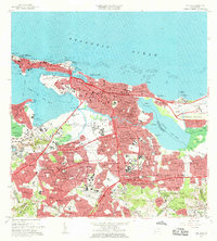 1963 San Juan1965 Print · USGSSan Juan and its surrounding barrios are shown in detail during the early sixties, capturing the city as it matured into a modern Caribbean hub. Researchers can locate family landmarks such as Cementerio Maria Magdalena, schools like Escuela Luchetti, and the expanding Aeropuerto de Isla Grande.
 - 1969 Map of Bayamon, 1971 Print
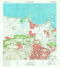 1969 Bayamon1971 Print · USGSBayamón and Toa Baja are seen in a period of intense suburban growth and industrial development during the late sixties. Researchers can trace the layout of Levittown, locate the Puerto Rico National Cemetery, and see the vast US Naval Radio Station (R) Sabana Seca.4 unique versions available
 - 1969 Map of San Juan, 1972 Print
 1969 San Juan1972 Print · USGSSan Juan entered a period of rapid modernization in the late sixties as its urban footprint expanded across the lagoons. You can trace the development of barrios like Condado and locate landmarks such as the Universidad de Puerto Rico and Estadio Municipal Hiram Bithorn.3 unique versions available
 - 1969 Map of Naranjito, 1972 Print
 1969 Naranjito1972 Print · USGSThe Naranjito and Bayamón regions undergo significant growth in the late sixties as residential developments meet industrial river infrastructure. Researchers can trace the development of Royal Town or locate the Planta Hidroeléctrica Comerio Num 1 and Escuela Miguel Cervantes Saavedra.3 unique versions available
End of results
Showing maps 1-6 of 6
Frequently asked questions
- What are the different types of historical maps available for Bayamón?
- What is the oldest map of Bayamón?
- Where can I purchase historical maps of Bayamón for my home or office?
- Where can I download high-res historical maps of Bayamón?
- Are there historical topographic maps available for Bayamón?
- Is there historical aerial imagery available for Bayamón?
- Where are historical maps of Bayamón sourced from?