Old Maps of La Pitahaya, Cabo Rojo for Academic Research
Study the evolution of La Pitahaya with 7 high-resolution historic maps. Whether you're teaching, researching, or modeling changes in land use, these maps provide essential visual documentation of urban, environmental, and geographic change.
- Analyze long-term change: Track patterns in development, transportation, and natural features.
- Ideal for environmental or urban studies: Support academic projects with primary historical map data.
- Use in the classroom or lab: Educators and researchers rely on these maps to bring historical context to life.
These maps are a powerful tool for teaching, research, and visualizing how La Pitahaya has changed over the decades.
La Pitahaya, Cabo Rojo maps
(7)- 1938 Map of Cabo Rojo
 1938 Cabo Rojo1938 Print · USGSThe southwestern tip of Puerto Rico is captured here in the late 1930s, showing the salt-rich coastlines of Bahia Salinas and Bahia Sucia. Genealogists and historians can trace the rural life of the era through sites like Las Palmas and the Escuela Sebastian Pabon Alvarado.5 unique versions available
 - 1949 Map of Cabo Rojo NE
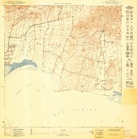 1949 Cabo Rojo NE1949 Print · USGSThe southwest coast of Puerto Rico is captured in the late 1940s, showing the intersection of salt production and rural life. Trace the early layout of Corozo or find the landmark Iglesia de Cristo Rey near the base of Lomas de Boquerón.
 - 1957 Map of Cabo Rojo, 1959 Print
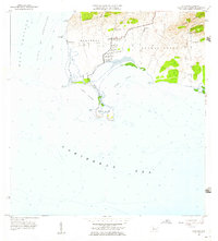 1957 Cabo Rojo1959 Print · USGSThe tip of southwestern Puerto Rico in the late fifties shows a coastal landscape dominated by salt production and maritime navigation. Genealogists and historians can trace local life through the Escuela Sebastián Pabón Alves and settlements like El Combate and Pole Ojea.
 - 1966 Map of Cabo Rojo, 1968 Print
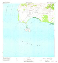 1966 Cabo Rojo1968 Print · USGSThe southwestern tip of Puerto Rico appears here in the mid-1960s, showing the intersection of coastal salt works and maritime navigation. Researchers can trace the local community at El Combate and locate the iconic Faro near Bahia Sucia.2 unique versions available
 - 2013 Map of Cabo Rojo, 2013 Print
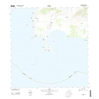 2013 Cabo Rojo2013 Print · USGSCabo Rojo’s southwestern coastline is captured here in the early twenty-first century, showing the intersection of coastal salt production and historic maritime landmarks. Researchers can trace the roads to El Faro de Cabo Rojo and explore the nearby Corozo Salt Flats and El Combate village.
 - 2018 Map of Cabo Rojo, 2018 Print
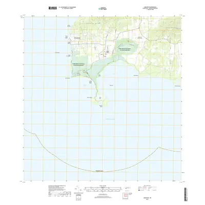 2018 Cabo Rojo2018 Print · USGSThe southwestern tip of the island is shown here in the late twenty-teens, where the Caribbean meets the salt flats. Genealogists and historians can trace the streets of El Combate and Pole Ojea, or explore the trails of the Cabo Rojo National Wildlife Refuge.
 - 2024 Map of Cabo Rojo, 2024 Print
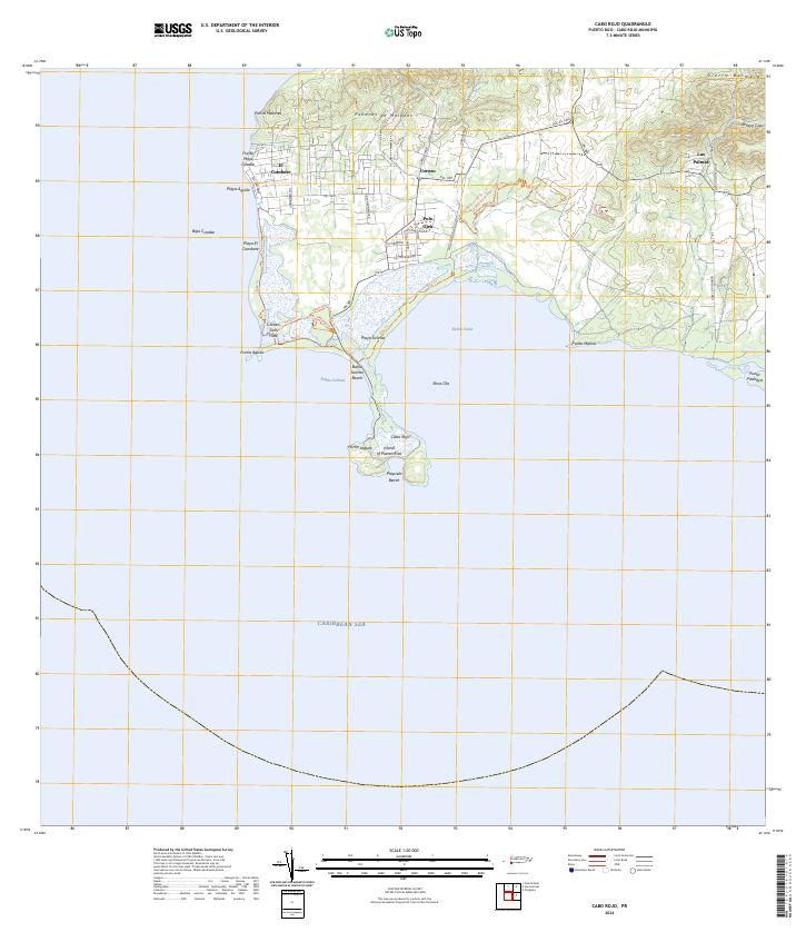 2024 Cabo Rojo2024 Print · USGSThe southwestern tip of Puerto Rico is captured here in detail, showcasing the unique intersection of salt production and coastal conservation. Researchers can trace the boundaries of the Cabo Rojo National Wildlife Refuge and locate the Corozo Salt Flats alongside local settlements like Pole Ojea.
End of results
Showing maps 1-7 of 7
Top cities near La Pitahaya
- Hormigueros historical maps
- San Germán historical maps
- Sabana Grande historical maps
- Cabo Rojo historical maps
- Lajas historical maps
- Maricao historical maps
Frequently asked questions
- What are the different types of historical maps available for La Pitahaya?
- What is the oldest map of La Pitahaya?
- Where can I purchase historical maps of La Pitahaya for my home or office?
- Where can I download high-res historical maps of La Pitahaya?
- Are there historical topographic maps available for La Pitahaya?
- Is there historical aerial imagery available for La Pitahaya?
- Where are historical maps of La Pitahaya sourced from?