Old Maps of Culebras Bajo, Cayey for Hiking & Exploration
Hike through history with 8 historic maps of Culebras Bajo. Explore old trails, ghost towns, and forgotten backroads — perfect for outdoor adventurers and local explorers.
- Rediscover forgotten places: Map out old mining camps, roads, and footpaths that no longer exist on modern maps.
- Layer with modern tools: Combine with LiDAR or satellite views to plan hikes through historical terrain.
- Made for exploration: Popular among hikers, overlanders, and local history lovers.
Use these maps to find adventure and explore the hidden past of Culebras Bajo.
Culebras Bajo, Cayey maps
(8)- 1946 Map of Cayey
 1946 Cayey1946 Print · USGSThe central mountains of Puerto Rico are captured here in the mid-1940s, centered on the growing town of Cayey. Local historians can trace agricultural roots at Hacienda Clavell and Hacienda Julia, or locate early religious landmarks like the Capilla de Santa Maria.2 unique versions available
 - 1947 Map of Cayey NE
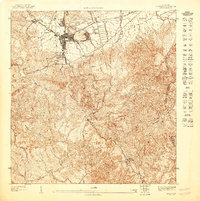 1947 Cayey NE1947 Print · USGSThe mountains of central Puerto Rico in the 1940s reveal a landscape defined by the historic Carretera Central and the town of Cayey. Trace the boundaries of the U.S. Military Reservation and find landmarks like Monte El Gato and the Paso del Gobernador.
 - 1953 Map of Cayey
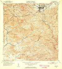 1953 Cayey1953 Print · USGSThe mountain town of Cayey and its surrounding barrios are documented here in the early 1950s during a period of transition and growth. Researchers can trace land ownership and community centers through labels for Hacienda Clavell, Poblado Carmen, and the Iglesia Sagrado Corazon.2 unique versions available
 - 1960 Map of Cayey, 1962 Print
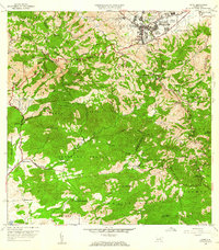 1960 Cayey1962 Print · USGSCayey was transitioning from an agrarian mountain outpost to a regional hub during the early sixties. Genealogists can trace family footprints across several named estates, including Hacienda Julia and Hacienda Clavell, and locate old landmarks like the Capilla de Santa Marta.
 - 1972 Map of Cayey, 1974 Print
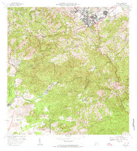 1972 Cayey1974 Print · USGSThe mountain town of Cayey and the surrounding Cordillera Central peaks are captured here in the early seventies. Genealogists and historians can trace family estates like Hacienda Clavell and Hacienda Julia, or locate civic landmarks like the Casilla del Gobernador.2 unique versions available
 - 2013 Map of Cayey, 2013 Print
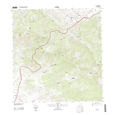 2013 Cayey2013 Print · USGSThe mountain terrain of Puerto Rico is captured here in the early twenty-first century, showcasing the growing urban center of Cayey. Researchers can trace local landmarks like Peñón de los Soldados, the winding Carretera Panoramica, and smaller communities like La Plena.
 - 2018 Map of Cayey, 2018 Print
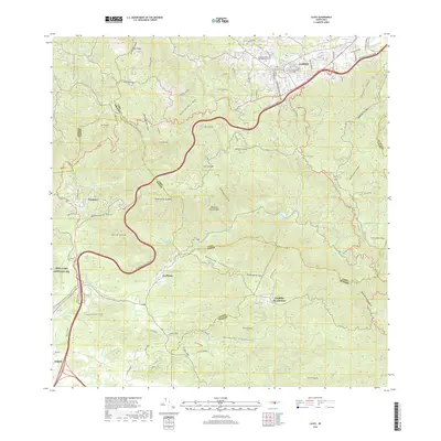 2018 Cayey2018 Print · USGSThe peaks of the Cordillera Central dominate this contemporary look at the Cayey region in 2018. Researchers can trace local landmarks like the Antiguo Cementerio Municipal de Cayey and small communities such as La Plena and Vázquez.
 - 2024 Map of Cayey, 2024 Print
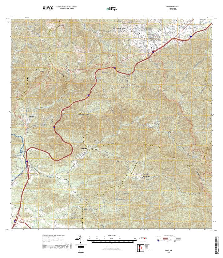 2024 Cayey2024 Print · USGSThe mountain city of Cayey and its surrounding peaks are captured in this contemporary survey of Puerto Rico's central highlands. Local researchers can trace the limits of NG MTA Camp Santiago, locate the Antiguo Cementerio Municipal de Cayey, and explore rural barrios like Pueblito del Carmen.
End of results
Showing maps 1-8 of 8
Frequently asked questions
- What are the different types of historical maps available for Culebras Bajo?
- What is the oldest map of Culebras Bajo?
- Where can I purchase historical maps of Culebras Bajo for my home or office?
- Where can I download high-res historical maps of Culebras Bajo?
- Are there historical topographic maps available for Culebras Bajo?
- Is there historical aerial imagery available for Culebras Bajo?
- Where are historical maps of Culebras Bajo sourced from?