Old Maps of Roosevelt Roads, Ceiba for Genealogy
Trace your family roots with 6 historic maps of Roosevelt Roads. These high-res maps reveal old neighborhoods, homesites, landmarks, and streets — helping you uncover where your ancestors lived and how the area evolved over time.
- Explore historic neighborhoods: Identify where your relatives may have lived in the 1800s or 1900s.
- Compare maps over time: Trace the changes in streets, buildings, and landmarks for multi-generational research.
- Perfect for genealogy & ancestry research: Used by family historians and researchers to map out lineage and migration.
These maps are an incredible resource for exploring your personal connection to Roosevelt Roads's past.
Roosevelt Roads, Ceiba maps
(6)- 1946 Map of Punta Puerca
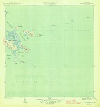 1946 Punta Puerca1946 Print · USGSThe eastern coast of Puerto Rico is shown just after the war, when the Naval Reservation occupied much of the shoreline. Researchers can trace the maritime geography of the Pasaje de Vieques and locate coastal aids like the Faro on Isla Cabras.3 unique versions available
 - 1952 Map of Punta Puerca, 1953 Print
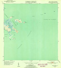 1952 Punta Puerca1953 Print · USGSThe Ceiba coastline in the early fifties shows a landscape of military readiness and maritime navigation. Trace the early boundaries of Naval Reservation Machos and locate offshore landmarks like the Faro on Isla Cabras and Isla Piñeros.2 unique versions available
 - 1957 Map of Punta Puerca, 1960 Print
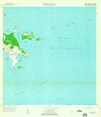 1957 Punta Puerca1960 Print · USGSThe Ceiba coastline was a critical military and maritime hub during the late fifties, centered on the Roosevelt Roads Naval Reservation. You can trace the 1950s shoreline from Punta Figueras to the rocky outcrops of Isla Cabras and Isla Piñeros.4 unique versions available
 - 2013 Map of Isla De Vieques West, 2013 Print
 2013 Isla De Vieques West2013 Print · USGSCovers Roosevelt Roads, including Mosquito, Florida, and other nearby areas
 - 2018 Map of Isla De Vieques West, 2018 Print
 2018 Isla De Vieques West2018 Print · USGSCovers Roosevelt Roads, including Mosquito, Florida, and other nearby areas
 - 2024 Map of Isla De Vieques West, 2024 Print
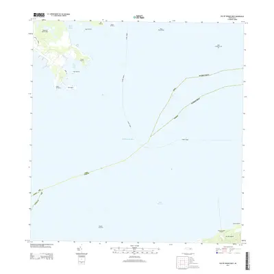
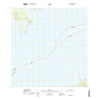
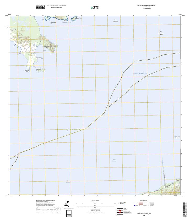 2024 Isla De Vieques West2024 Print · USGSEastern Puerto Rico and the western edge of Vieques meet in this recent coastal survey. Researchers can trace maritime landmarks from the Puerto de la Libertad David Sanis Rodriguez to offshore points like Isla Piñeros and Cayo Cabritas.
End of results
Showing maps 1-6 of 6
Frequently asked questions
- What are the different types of historical maps available for Roosevelt Roads?
- What is the oldest map of Roosevelt Roads?
- Where can I purchase historical maps of Roosevelt Roads for my home or office?
- Where can I download high-res historical maps of Roosevelt Roads?
- Are there historical topographic maps available for Roosevelt Roads?
- Is there historical aerial imagery available for Roosevelt Roads?
- Where are historical maps of Roosevelt Roads sourced from?