
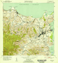
1946 Map of Punta Puerca
USGS Topo · Published 1946About this map
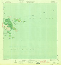
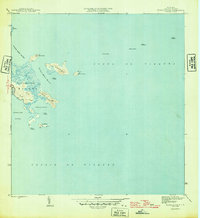
The coastal waters and islands of Ceiba are dominated by the Naval Reservation in this 1940s-era survey, reflecting the strategic military importance of eastern Puerto Rico during the Second World War. The map details a complex maritime landscape where the Sonda de Vieques meets the rugged shoreline of Punta Puerca. Navigation is aided by a Faro located on Isla Cabras, guarding the entrance to Ensenada Honda. Small islets and hazards like Isla Piñeros, Isla Cabeza de Perro, and Piedra Lavandera pepper the Pasaje Medio Mundo, illustrating the intricate piloting required for vessels moving through these channels. The survey emphasizes the isolation of these coastal reaches, highlighting a landscape defined more by natural topography and military boundaries than by civilian settlement.
Find a feature on this map
21 named features on this map. Tap any name to fly to it.
Don’t see what you’re looking for? This feature index may not catch every label — zoom into the map to look around manually.
Map Details
Editions of this 1946 Punta Puerca Map
3 editions found
Other maps of this area

1943 · Island Of Vieques
USGS Topo · 1:30,000

1945 · Cayo Icacos
USGS Topo · 1:30,000

1946 · Naguabo
USGS Topo · 1:30,000

1946 · Fajardo
USGS Topo · 1:30,000

1947 · Naguabo NE
USGS Topo · 1:10,000

1951 · Island Of Vieques
USGS Topo · 1:30,000
1952 · Cayo Icacos
USGS Topo · 1:30,000

1952 · Punta Puerca
USGS Topo · 1:30,000
1952 · Naguabo
USGS Topo · 1:30,000
1952 · Fajardo
USGS Topo · 1:30,000