Old Maps of Culebra for Metal Detecting
Plan your next treasure hunt with 11 historic maps of Culebra. Find old homesites, ghost towns, trails, and gathering spots that may be lost to time — perfect for identifying promising metal detecting locations.
- Locate forgotten sites: Uncover places like long-lost settlements, abandoned rail lines, or gathering spots.
- Plan better hunts: Use map overlays combined with LiDAR or satellite views to narrow in on historically rich areas.
- Made for detectorists: Thousands of hobbyists use these maps to discover relics, coins, and hidden history.
Use these historic maps to boost your research and find new opportunities beneath the surface of Culebra.
Culebra maps
(11)- 1948 Map of Culebra And Adjacent Islands, 1966 Print
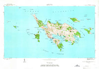 1948 Culebra And Adjacent Islands1966 Print · USGSCulebra and its surrounding cays are documented here just after the war, showing the island's maritime character and small coastal settlements. Researchers can trace the early layout of Culebra town, Playa Sardinas I, and the sheltered waters of Ensenada Honda.2 unique versions available
 - 1950 Map of Culebra And Adjacent Islands
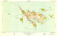 1950 Culebra And Adjacent Islands1950 Print · USGSThe island of Culebra and its surrounding cays are shown in detail at mid-century, highlighting the maritime importance of its deep-water harbors. Researchers can trace early shoreline settlements at Playa Sardinas I and geographic landmarks like Cayo Pirata and Península Flamenco.2 unique versions available
 - 2013 Map of Culebra OE E, 2013 Print
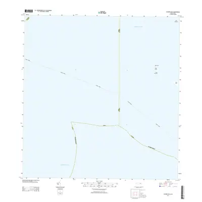
 2013 Culebra OE E2013 Print · USGSCovers Culebra, including Puerto Rico, Fraile, and other nearby areas
 - 2013 Map of Culebra, 2013 Print
 2013 Culebra2013 Print · USGSCovers Culebra, including Vista Linda, Zoni, and other nearby areas
 - 2013 Map of Culebra OE W, 2013 Print
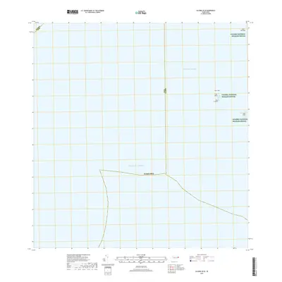
 2013 Culebra OE W2013 Print · USGSCovers Culebra, including Flamenco, Puerto Rico, and other nearby areas
 - 2018 Map of Culebra OE E, 2018 Print
 2018 Culebra OE E2018 Print · USGSCovers Culebra, including Puerto Rico, Fraile, and other nearby areas
 - 2018 Map of Culebra, 2018 Print
 2018 Culebra2018 Print · USGSCovers Culebra, including Vista Linda, Zoni, and other nearby areas
 - 2018 Map of Culebra OE W, 2018 Print
 2018 Culebra OE W2018 Print · USGSCovers Culebra, including Flamenco, Puerto Rico, and other nearby areas
 - 2024 Map of Culebra OE W, 2024 Print
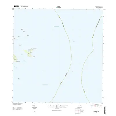
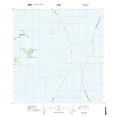
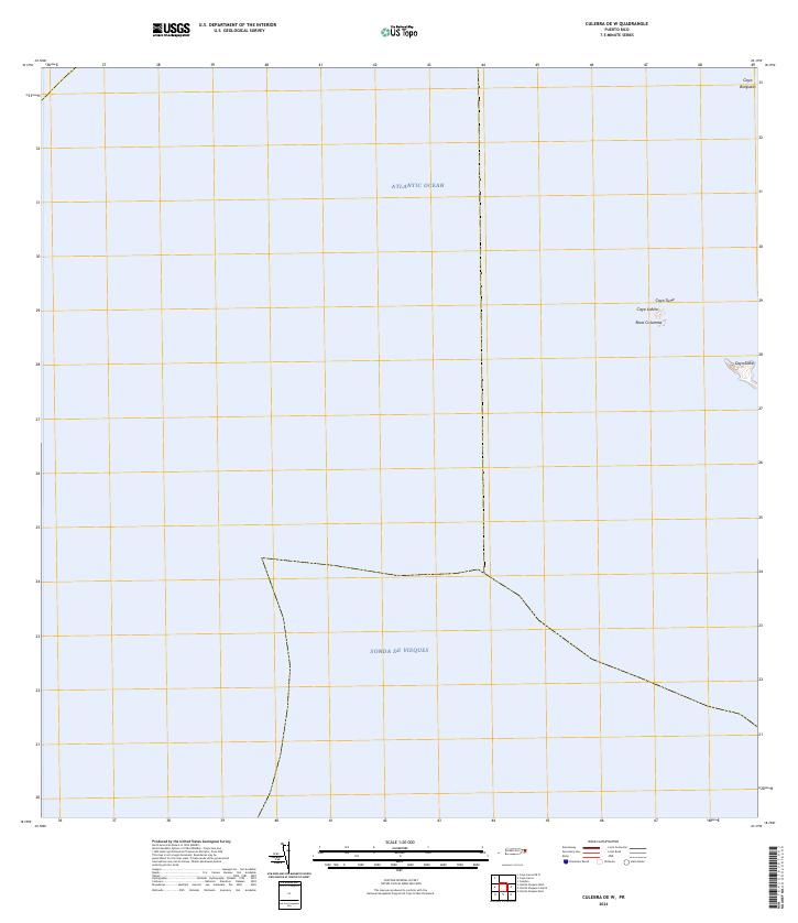 2024 Culebra OE W2024 Print · USGSThe waters surrounding Culebra come into focus in the mid-2020s, showing a protected archipelago of cays and marine channels. Researchers can locate remote landforms within the Culebra National Wildlife Refuge, including Cayo Lobito and Roca Columna.
 - 2024 Map of Culebra OE E, 2024 Print
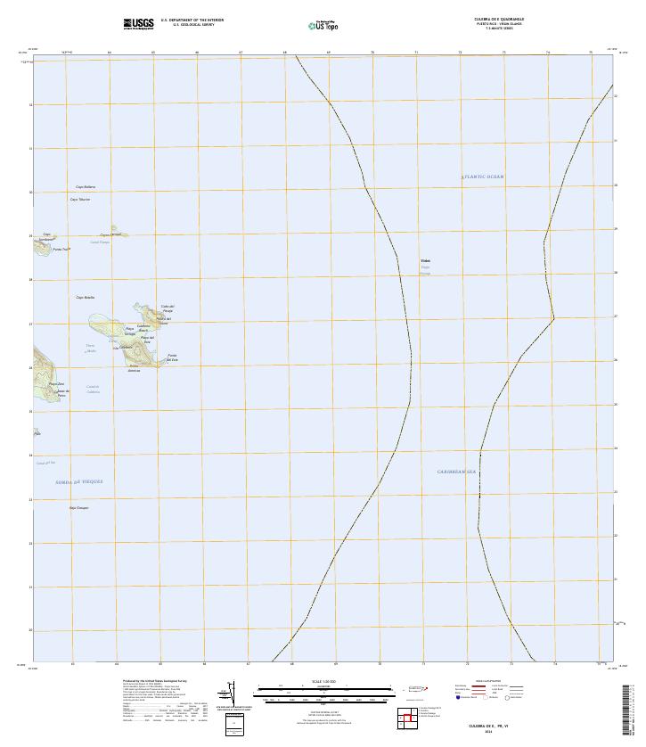 2024 Culebra OE E2024 Print · USGSThe easternmost reaches of the Puerto Rican archipelago are charted here in the mid-2020s, showing the intersection of the Atlantic and Caribbean. Maritime researchers can trace the coastal boundaries of the Culebra National Wildlife Refuge, Isla Culebrita, and Playa Tortuga.
 - 2024 Map of Culebra, 2024 Print
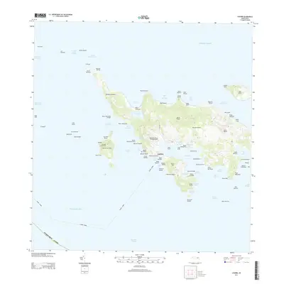
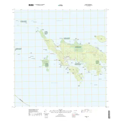
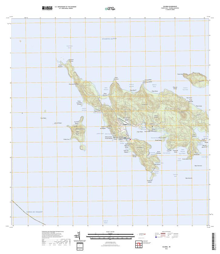 2024 Culebra2024 Print · USGSCulebra and its surrounding cays appear here in modern detail, showing the integration of island life with vast protected lands. Researchers can trace local landmarks from the Benjamin Rivera Noriega Airport to the Cementerio Municipal and the shores of Ensenada Honda.
End of results
Showing maps 1-11 of 11
Frequently asked questions
- What are the different types of historical maps available for Culebra?
- What is the oldest map of Culebra?
- Where can I purchase historical maps of Culebra for my home or office?
- Where can I download high-res historical maps of Culebra?
- Are there historical topographic maps available for Culebra?
- Is there historical aerial imagery available for Culebra?
- Where are historical maps of Culebra sourced from?