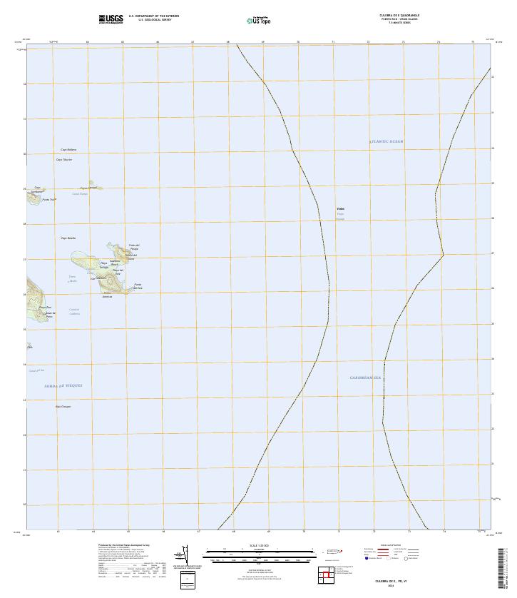
2024 Map of Culebra OE E
USGS Topo · Published 2024About this map
Culebra National Wildlife Refuge encompasses the small islands and coastal reaches of this maritime landscape where the Atlantic Ocean meets the Caribbean Sea. The terrain is defined by isolated landforms such as Isla Culebrita and its protected shores at Playa Tortuga and Culebrita Beach. These outcrops represent a critical environmental boundary, separating the open waters of the Viñet Virgin Passage from the more sheltered Sonda de Vieques. Navigational features like the Canal de Culebrita and the submerged Bajo Grouper highlight the maritime hazards and pathways surrounding the easternmost keys of the archipelago. Small landmasses including Cayo Ballena and Cayos Geniqui dot the north, marking the jagged edges of the Puerto Rican shelf.
Find a feature on this map
28 named features on this map. Tap any name to fly to it.
Don’t see what you’re looking for? This feature index may not catch every label — zoom into the map to look around manually.
Map Details
Editions of this 2024 Culebra OE E Map
This is the sole edition of this map. No revisions or reprints were ever made.
Other maps of this area
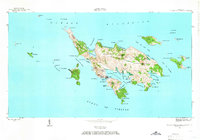
1948 · Culebra And Adjacent Islands
USGS Topo · 1:30,000
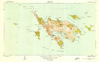
1950 · Culebra And Adjacent Islands
USGS Topo · 1:30,000
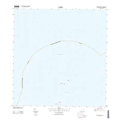
2013 · Savana Passage OE N
USGS Topo · 1:20,000
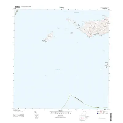
2013 · Savana Passage
USGS Topo · 1:20,000
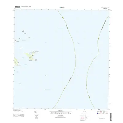
2013 · Culebra OE E
USGS Topo · 1:20,000
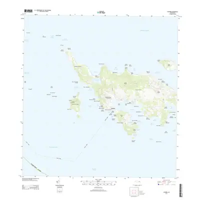
2013 · Culebra
USGS Topo · 1:20,000
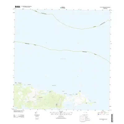
2013 · Isla De Vieques East
USGS Topo · 1:20,000
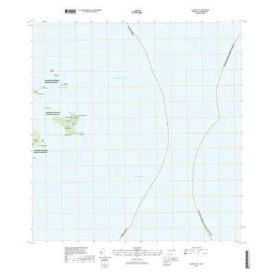
2018 · Culebra OE E
USGS Topo · 1:20,000
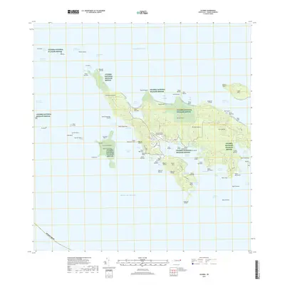
2018 · Culebra
USGS Topo · 1:20,000
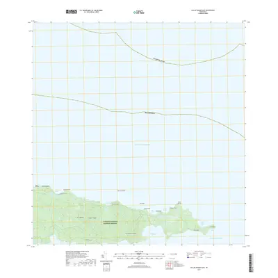
2018 · Isla De Vieques East
USGS Topo · 1:20,000