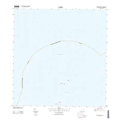
2013 Map of Savana Passage OE N
USGS Topo · Published 2013About this map
Cockroach Island and a series of rocky outcrops define this maritime landscape where the Atlantic Ocean meets the northern boundary of the United States Virgin Islands St. Thomas. This 2013 survey focuses on the seafaring approaches and small uninhabited landforms north of the main island, including Dutchcap Cay and Sula Cay. The navigation through Dutchcap Passage is highlighted by hazardous features such as Cricket Rock and Gorret Rock. The map illustrates the maritime boundary line as it arcs through the open water, providing a precise record of territorial limits and the isolated geographic features that serve as markers for this part of the Caribbean archipelago.
Find a feature on this map
8 named features on this map. Tap any name to fly to it.
Don’t see what you’re looking for? This feature index may not catch every label — zoom into the map to look around manually.
Map Details
Editions of this 2013 Savana Passage OE N Map
This is the sole edition of this map. No revisions or reprints were ever made.
Other maps of this area
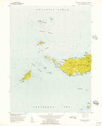
1955 · Western St. Thomas
USGS Topo · 1:24,000
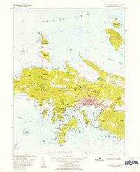
1955 · Central St. Thomas
USGS Topo · 1:24,000
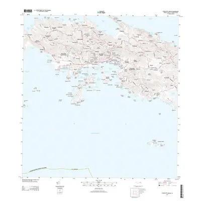
2013 · Charlotte Amalie
USGS Topo · 1:20,000
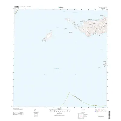
2013 · Savana Passage
USGS Topo · 1:20,000
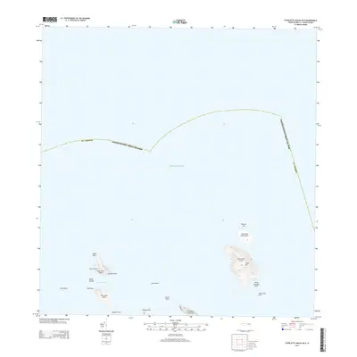
2013 · Charlotte Amalie OE N
USGS Topo · 1:20,000
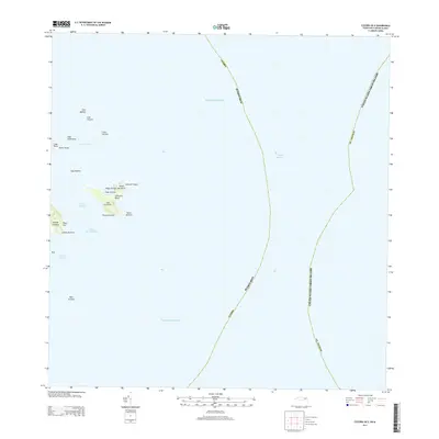
2013 · Culebra OE E
USGS Topo · 1:20,000
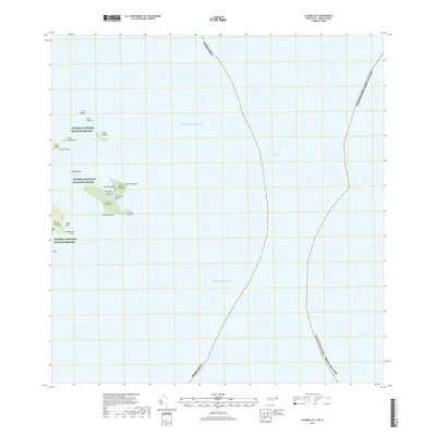
2018 · Culebra OE E
USGS Topo · 1:20,000
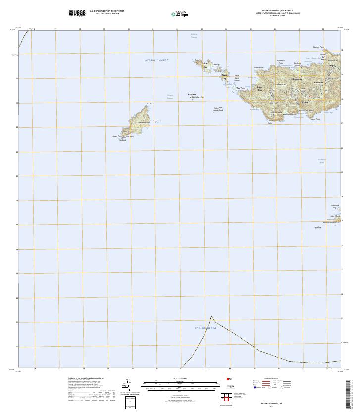
2024 · Savana Passage
USGS Topo · 1:20,000
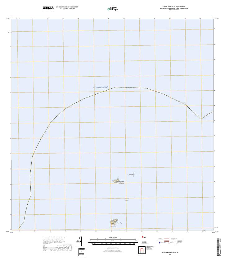
2024 · Savana Passage OE N
USGS Topo · 1:20,000
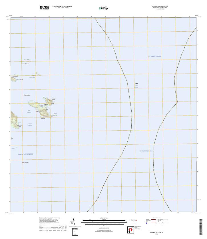
2024 · Culebra OE E
USGS Topo · 1:20,000