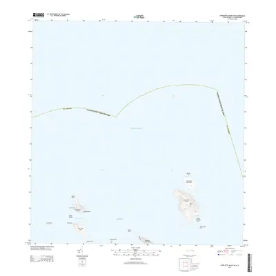
2013 Map of Charlotte Amalie OE N
USGS Topo · Published 2013About this map
Hans Lollik Island and its smaller companion, Little Hans Lollik Island, dominate the eastern waters of this maritime survey. The terrain on the primary island rises toward Lollik Hill, providing a distinct landmark for those navigating the Atlantic Ocean north of St. Thomas. To the west, the Brass Islands—composed of Inner Brass Island and Outer Brass Island—are separated from the main coastline by the Brass Channel. The northern reach of the Peterborg Peninsula extends toward these islands, marked by notable coastal features such as Picara Point and Tropaco Point. Submerged hazards and natural harbor elements are carefully noted, including White Horseface Reef near Coconut Bay and the isolated Ornen Rock positioned between the two primary island groups.
Find a feature on this map
25 named features on this map. Tap any name to fly to it.
Don’t see what you’re looking for? This feature index may not catch every label — zoom into the map to look around manually.
Map Details
Editions of this 2013 Charlotte Amalie OE N Map
This is the sole edition of this map. No revisions or reprints were ever made.
Other maps of this area
1954 · Eastern St. Thomas
USGS Topo · 1:24,000
1955 · Western St. Thomas
USGS Topo · 1:24,000
1955 · Central St. Thomas
USGS Topo · 1:24,000
2013 · Savana Passage OE N
USGS Topo · 1:20,000
2013 · Charlotte Amalie
USGS Topo · 1:20,000
2013 · Cruz Bay OE N
USGS Topo · 1:20,000
2013 · Savana Passage
USGS Topo · 1:20,000
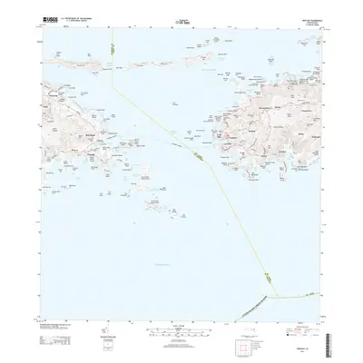
2013 · Cruz Bay
USGS Topo · 1:20,000
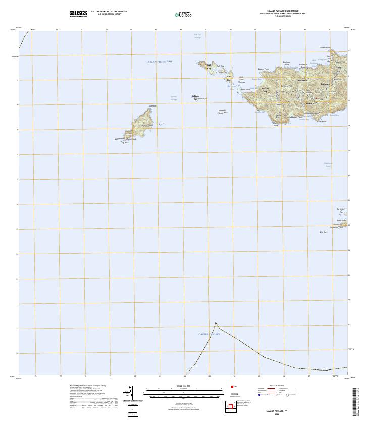
2024 · Savana Passage
USGS Topo · 1:20,000
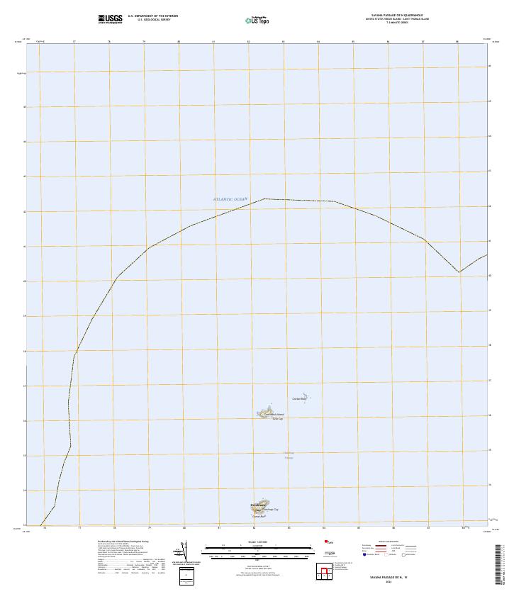
2024 · Savana Passage OE N
USGS Topo · 1:20,000