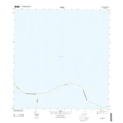
2013 Map of Cruz Bay OE N
USGS Topo · Published 2013About this map
The Atlantic Ocean dominates this maritime survey, illustrating the critical water passage between the northernmost reaches of the Caribbean islands. This map defines the international and territorial maritime limits, specifically detailing the jagged boundary lines separating St. Thomas and St. John within the United States Virgin Islands. In the lower-right corner, the charts capture The Narrows, a significant nautical bottleneck that has historically served as a primary gateway for vessels traveling between the Atlantic and the protected waters of the Caribbean. The focus here is almost entirely on the open sea and these invisible political thresholds, providing a stark view of how territorial waters are partitioned in this island chain.
Find a feature on this map
6 named features on this map. Tap any name to fly to it.
Don’t see what you’re looking for? This feature index may not catch every label — zoom into the map to look around manually.
Map Details
Editions of this 2013 Cruz Bay OE N Map
This is the sole edition of this map. No revisions or reprints were ever made.
Other maps of this area
1954 · Eastern St. Thomas
USGS Topo · 1:24,000
1958 · Western St. John
USGS Topo · 1:24,000
2013 · Charlotte Amalie
USGS Topo · 1:20,000
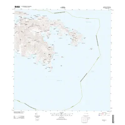
2013 · Coral Bay
USGS Topo · 1:20,000
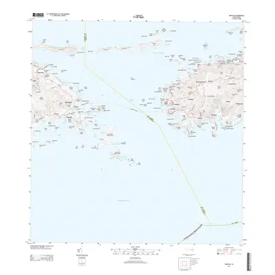
2013 · Cruz Bay
USGS Topo · 1:20,000
2013 · Coral Bay OE N
USGS Topo · 1:20,000
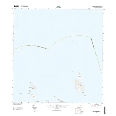
2013 · Charlotte Amalie OE N
USGS Topo · 1:20,000
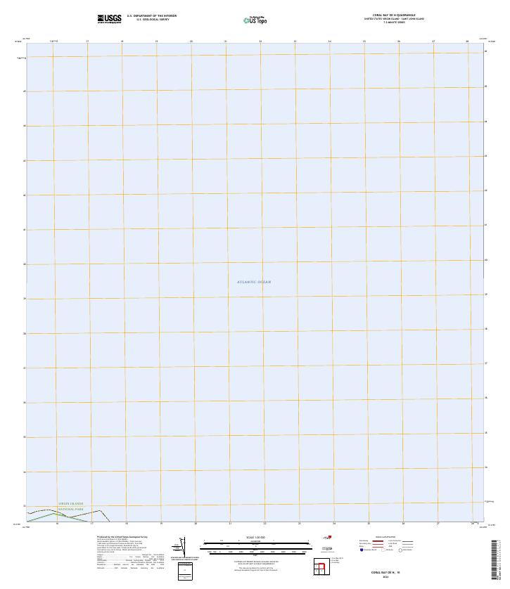
2024 · Coral Bay OE N
USGS Topo · 1:20,000
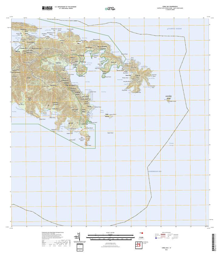
2024 · Coral Bay
USGS Topo · 1:20,000
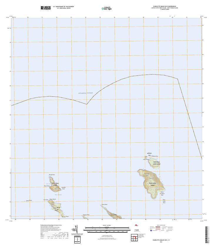
2024 · Charlotte Amalie OE N
USGS Topo · 1:20,000