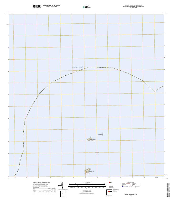
2024 Map of Savana Passage OE N
USGS Topo · Published 2024About this map
Cockroach Island and its smaller neighbor Sula Cay sit at the center of this maritime survey, marking the jagged boundary between the open Atlantic Ocean and the sheltered waters closer to the mainland. These uninhabited outposts, along with Cricket Rock, represent the northernmost terrestrial points in this portion of the Virgin Islands. To the south, the deep channel of the Dutchman Passage separates these northern cays from the prominent peak of Dutchman Cap and the small outcropping of Dutchcap Cay. The bathymetry of the passage is critical for local navigation, as it provides a clear route between the northern rocks and the more expansive islands to the south. The isolation of these features, including the lonely Gorret Rock, emphasizes the maritime nature of the region where small islets and rocky outcrops define the navigational hazards of the sea.
Find a feature on this map
8 named features on this map. Tap any name to fly to it.
Don’t see what you’re looking for? This feature index may not catch every label — zoom into the map to look around manually.
Map Details
Editions of this 2024 Savana Passage OE N Map
This is the sole edition of this map. No revisions or reprints were ever made.
Other maps of this area
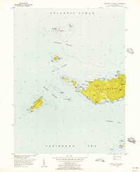
1955 · Western St. Thomas
USGS Topo · 1:24,000
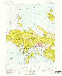
1955 · Central St. Thomas
USGS Topo · 1:24,000
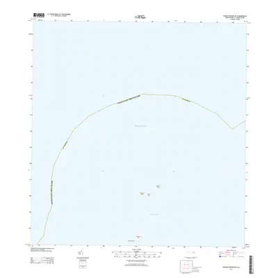
2013 · Savana Passage OE N
USGS Topo · 1:20,000
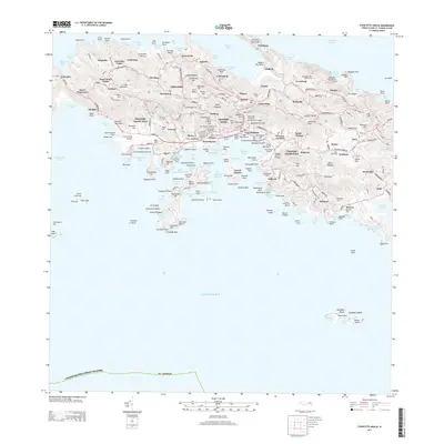
2013 · Charlotte Amalie
USGS Topo · 1:20,000
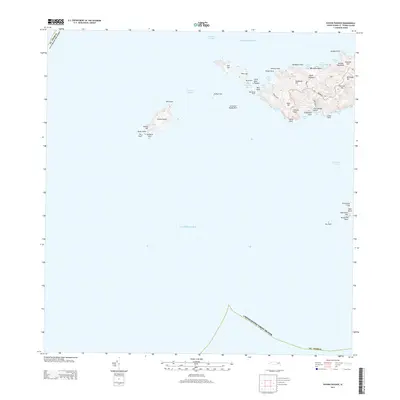
2013 · Savana Passage
USGS Topo · 1:20,000
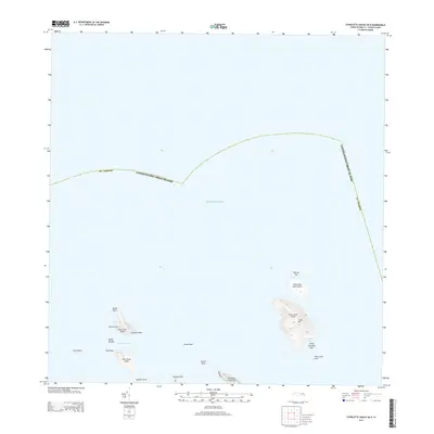
2013 · Charlotte Amalie OE N
USGS Topo · 1:20,000
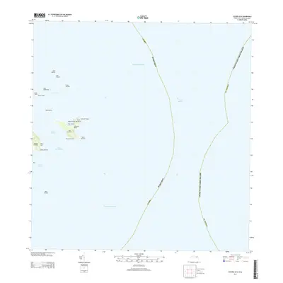
2013 · Culebra OE E
USGS Topo · 1:20,000
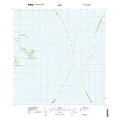
2018 · Culebra OE E
USGS Topo · 1:20,000
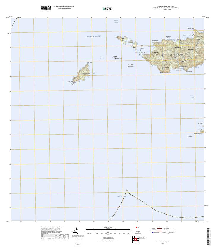
2024 · Savana Passage
USGS Topo · 1:20,000
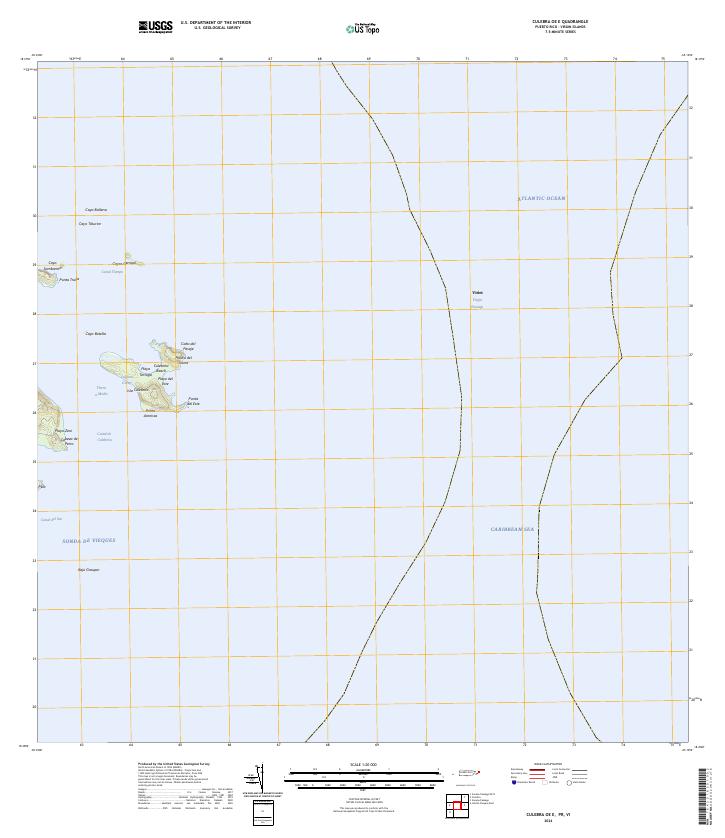
2024 · Culebra OE E
USGS Topo · 1:20,000