Old Maps of Fajardo for Academic Research
Study the evolution of Fajardo with 24 high-resolution historic maps. Whether you're teaching, researching, or modeling changes in land use, these maps provide essential visual documentation of urban, environmental, and geographic change.
- Analyze long-term change: Track patterns in development, transportation, and natural features.
- Ideal for environmental or urban studies: Support academic projects with primary historical map data.
- Use in the classroom or lab: Educators and researchers rely on these maps to bring historical context to life.
These maps are a powerful tool for teaching, research, and visualizing how Fajardo has changed over the decades.
Fajardo maps
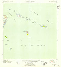
(24)- 1945 Map of Cayo Icacos
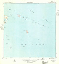 1945 Cayo Icacos1945 Print · USGSCovers Fajardo, including Cabezas, Quebrada Vueltas, and other nearby areas
 - 1945 Map of El Yunque
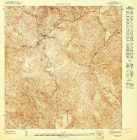
 1945 El Yunque1945 Print · USGSCovers Fajardo, including Hacienda Jordán, Colinas Tres T, and other nearby areas
 - 1946 Map of El Yunque
 1946 El Yunque1946 Print · USGSCovers Fajardo, including Hacienda Jordán, Colinas Tres T, and other nearby areas3 unique versions available
 - 1946 Map of Naguabo
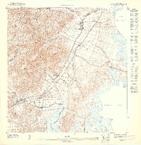
 1946 Naguabo1946 Print · USGSCovers Fajardo, including Ceiba, Naguabo, and other nearby areas4 unique versions available
 - 1946 Map of Fajardo
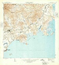
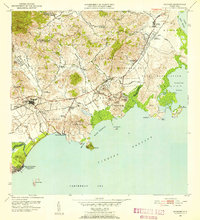
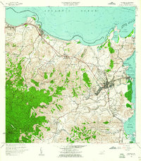
 1946 Fajardo1946 Print · USGSCovers Fajardo, including Luquillo, Las Aves, and other nearby areas4 unique versions available
 - 1947 Map of El Yunque SE
 1947 El Yunque SE1947 Print · USGSCovers Fajardo, including Luquillo, Sabana, and other nearby areas
 - 1947 Map of Naguabo NE
 1947 Naguabo NE1947 Print · USGSCovers Fajardo, including Ceiba, Mansiones de Vistamar, and other nearby areas11 unique versions available
 - 1947 Map of Fajardo NE, 1948 Print
 1947 Fajardo NE1948 Print · USGSCovers Fajardo, including Las Croabas, Barrio Pueblo, and other nearby areas
 - 1952 Map of Cayo Icacos, 1953 Print
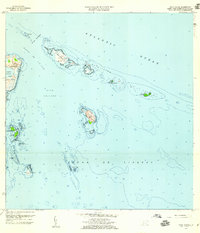
 1952 Cayo Icacos1953 Print · USGSCovers Fajardo, including Cabezas, Quebrada Vueltas, and other nearby areas2 unique versions available
 - 1952 Map of El Yunque, 1953 Print
 1952 El Yunque1953 Print · USGSCovers Fajardo, including Hacienda Jordán, Colinas Tres T, and other nearby areas2 unique versions available
 - 1952 Map of Naguabo, 1953 Print
 1952 Naguabo1953 Print · USGSCovers Fajardo, including Ceiba, Naguabo, and other nearby areas2 unique versions available
 - 1952 Map of Fajardo, 1953 Print
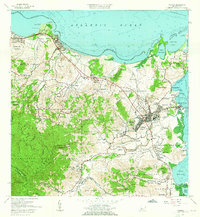
 1952 Fajardo1953 Print · USGSCovers Fajardo, including Luquillo, Las Aves, and other nearby areas2 unique versions available
 - 1957 Map of Naguabo, 1960 Print
 1957 Naguabo1960 Print · USGSCovers Fajardo, including Ceiba, Naguabo, and other nearby areas
 - 1958 Map of El Yunque, 1960 Print
 1958 El Yunque1960 Print · USGSCovers Fajardo, including Hacienda Jordán, Colinas Tres T, and other nearby areas
 - 1958 Map of Cayo Icacos, 1960 Print
 1958 Cayo Icacos1960 Print · USGSCovers Fajardo, including Cabezas, Quebrada Vueltas, and other nearby areas4 unique versions available
 - 1958 Map of Fajardo, 1960 Print
 1958 Fajardo1960 Print · USGSCovers Fajardo, including Luquillo, Las Aves, and other nearby areas
 - 1962 Map of Fajardo, 1965 Print
 1962 Fajardo1965 Print · USGSCovers Fajardo, including Luquillo, Las Aves, and other nearby areas6 unique versions available
 - 1967 Map of El Yunque, 1969 Print
 1967 El Yunque1969 Print · USGSCovers Fajardo, including Hacienda Jordán, Colinas Tres T, and other nearby areas4 unique versions available
 - 1967 Map of Naguabo, 1970 Print
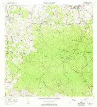
 1967 Naguabo1970 Print · USGSCovers Fajardo, including Ceiba, Naguabo, and other nearby areas3 unique versions available
 - 2024 Map of Fajardo, 2024 Print
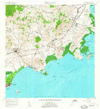
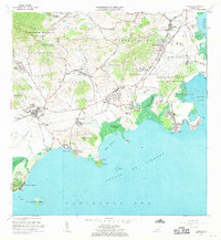
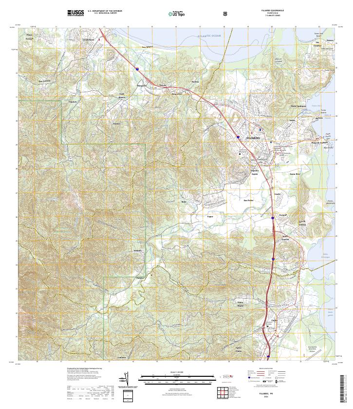 2024 Fajardo2024 Print · USGSCovers Fajardo, including Ceiba, Ocean Plaza, and other nearby areas
 - 2024 Map of Fajardo OE N, 2024 Print
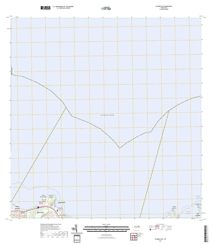 2024 Fajardo OE N2024 Print · USGSCovers Fajardo, including Luquillo, Mameyes I, and other nearby areas
 - 2024 Map of El Yunque, 2024 Print
 2024 El Yunque2024 Print · USGSCovers Fajardo, including Sector Rosado, Palma Sola, and other nearby areas
 - 2024 Map of Cayo Icacos OE N, 2024 Print
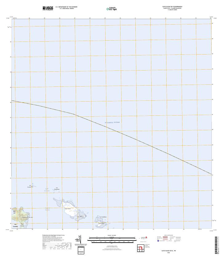 2024 Cayo Icacos OE N2024 Print · USGSCovers Fajardo, including Cabezas, Puerto Rico, and other nearby areas
 - 2024 Map of Cayo Icacos, 2024 Print
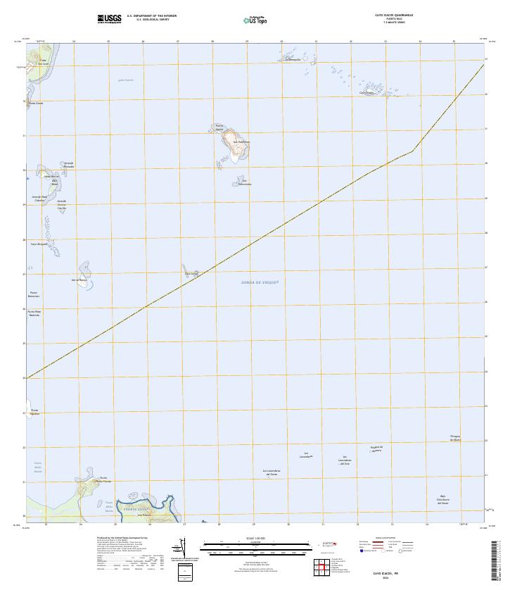 2024 Cayo Icacos2024 Print · USGSCovers Fajardo, including Soroco, Quebrada Vueltas, and other nearby areas
End of results
Showing maps 1-24 of 24
Frequently asked questions
- What are the different types of historical maps available for Fajardo?
- What is the oldest map of Fajardo?
- Where can I purchase historical maps of Fajardo for my home or office?
- Where can I download high-res historical maps of Fajardo?
- Are there historical topographic maps available for Fajardo?
- Is there historical aerial imagery available for Fajardo?
- Where are historical maps of Fajardo sourced from?