2000s (21st Century) Maps of Isabela
Explore 12 historic maps of Isabela from the 2000s (21st Century). These maps offer a rare glimpse into what life looked like during the 2000s — showing old roads, neighborhoods, homes, and landmarks that have changed or disappeared over time.
Whether you're researching your family's past, planning a metal detecting trip, or studying how Isabela's landscape evolved across the 2000s, these high-resolution maps are a powerful tool for exploring the history of this region.
- Focus on a specific era: All maps on this page are from the 2000s, giving you a focused view of this time period.
- See what’s changed: Compare century-old streets, trails, and buildings to today's modern landscape using overlays and satellite layers.
- Research with precision: Use these maps for genealogy, historical research, land use analysis, or educational projects.
- View, download, or print: Maps are fully viewable online in high resolution, and can be downloaded or printed for your own records.
Start exploring Isabela's history through authentic maps from the 2000s. This is your window into the past.
Isabela maps
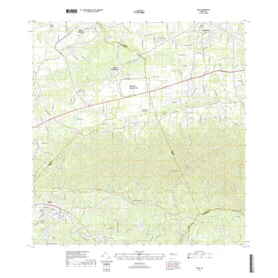
(12)- 2013 Map of Isabela, 2013 Print
 2013 Isabela2013 Print · USGSCovers Isabela, including Sector Quique Bravo, Reparto Santa María, and other nearby areas
 - 2013 Map of Moca, 2013 Print
 2013 Moca2013 Print · USGSCovers Isabela, including Moca, Sector Nieves, and other nearby areas
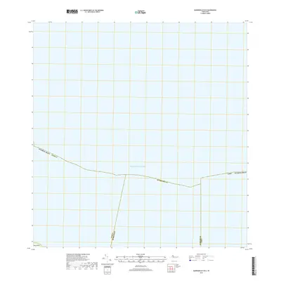
 - 2013 Map of Quebradillas OE N, 2013 Print
 2013 Quebradillas OE N2013 Print · USGSCovers Isabela, including Guayabos, Puerto Rico, and other nearby areas
 - 2013 Map of Quebradillas, 2013 Print
 2013 Quebradillas2013 Print · USGSCovers Isabela, including Quebradillas, Urbanización Vista al Calvario, and other nearby areas
 - 2018 Map of Moca, 2018 Print
 2018 Moca2018 Print · USGSCovers Isabela, including Moca, Sector Nieves, and other nearby areas
 - 2018 Map of Isabela, 2018 Print
 2018 Isabela2018 Print · USGSCovers Isabela, including Sector Quique Bravo, Reparto Santa María, and other nearby areas
 - 2018 Map of Quebradillas OE N, 2018 Print
 2018 Quebradillas OE N2018 Print · USGSCovers Isabela, including Guayabos, Puerto Rico, and other nearby areas
 - 2018 Map of Quebradillas, 2018 Print
 2018 Quebradillas2018 Print · USGSCovers Isabela, including Quebradillas, Urbanización Vista al Calvario, and other nearby areas
 - 2024 Map of Isabela, 2024 Print
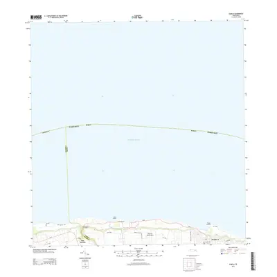
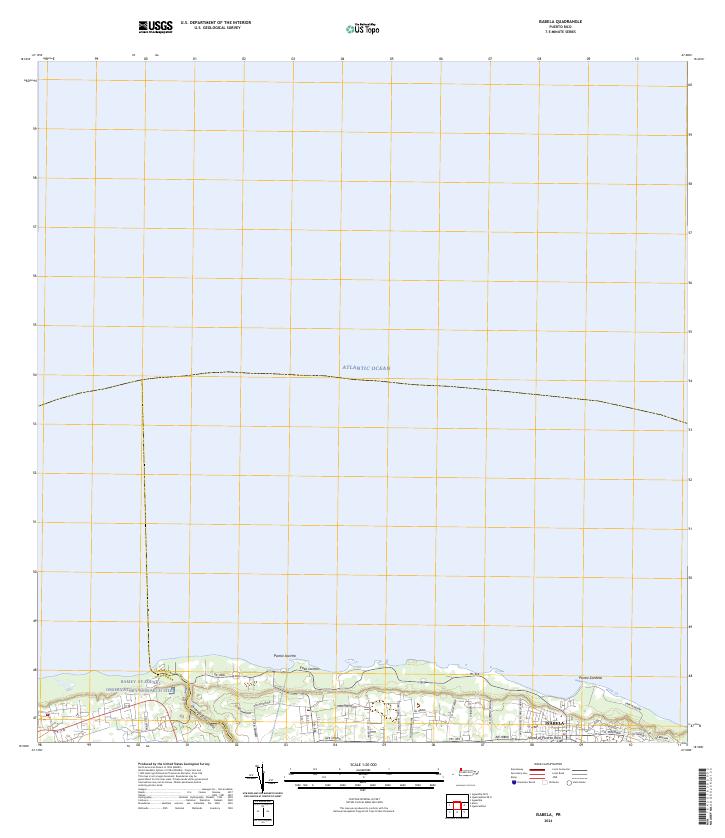 2024 Isabela2024 Print · USGSThe northern coast of Puerto Rico is captured here in the contemporary era, showcasing the coastal settlement of Isabela. Researchers can trace the scientific footprint of the Ramey AF Solar Observatory Research Site and coastal features like Punta Sardina.
 - 2024 Map of Quebradillas, 2024 Print
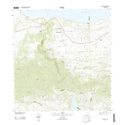
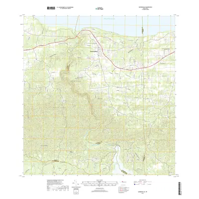
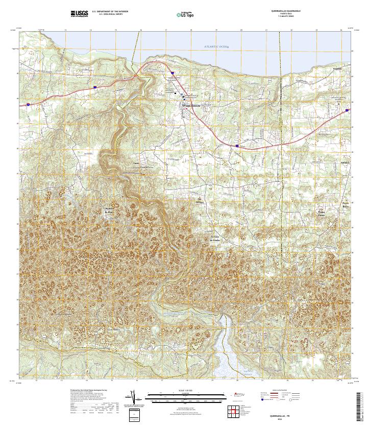 2024 Quebradillas2024 Print · USGSThe northern coast of Puerto Rico meets the limestone hills of the interior in this recent survey. Genealogists can trace family landmarks and burial sites like Hacienda la Sabana and the Cementerio Municipal de Quebradillas.
 - 2024 Map of Quebradillas OE N, 2024 Print
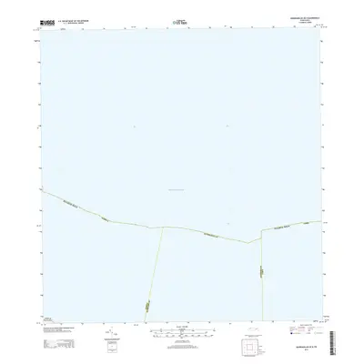
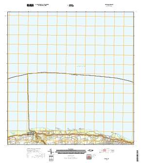
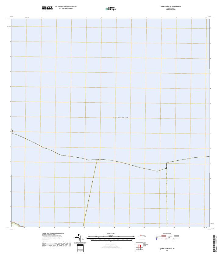 2024 Quebradillas OE N2024 Print · USGSThe northern coastline of Puerto Rico meets the Atlantic Ocean in this modern survey. Researchers can trace the precise coastal boundary and maritime expanse as it appeared during the early twenty-first century.
 - 2024 Map of Moca, 2024 Print
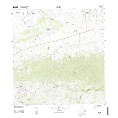
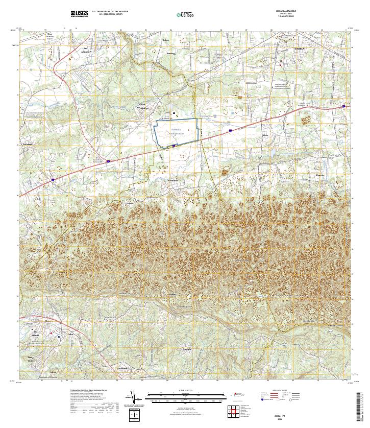 2024 Moca2024 Print · USGSNorthwestern Puerto Rico is documented here in the present day, showing the developed corridors between the coast and the mountain foothills. Genealogists and historians can locate family sites near Cementerio de Municipio de Moca, San Antonio, and Lomas Verdes.
End of results
Showing maps 1-12 of 12
Frequently asked questions
- What are the different types of historical maps available for Isabela?
- What is the oldest map of Isabela?
- Where can I purchase historical maps of Isabela for my home or office?
- Where can I download high-res historical maps of Isabela?
- Are there historical topographic maps available for Isabela?
- Is there historical aerial imagery available for Isabela?
- Where are historical maps of Isabela sourced from?