Old Maps of Reparto Apolonio Vélez Ramos, Isabela for Academic Research
Study the evolution of Reparto Apolonio Vélez Ramos with 7 high-resolution historic maps. Whether you're teaching, researching, or modeling changes in land use, these maps provide essential visual documentation of urban, environmental, and geographic change.
- Analyze long-term change: Track patterns in development, transportation, and natural features.
- Ideal for environmental or urban studies: Support academic projects with primary historical map data.
- Use in the classroom or lab: Educators and researchers rely on these maps to bring historical context to life.
These maps are a powerful tool for teaching, research, and visualizing how Reparto Apolonio Vélez Ramos has changed over the decades.
Reparto Apolonio Vélez Ramos, Isabela maps
(7)- 1938 Map of Quebradillas
 1938 Quebradillas1938 Print · USGSNorthern Puerto Rico in the late 1930s reveals a landscape of winding rivers and densely mapped rural schools. Genealogists and historians can trace family roots through named sites like Pueblito de Ponce, the American Porto Rico rail line, and Iglesia Virgen del Carmen.2 unique versions available
 - 1950 Map of Quebradillas NO
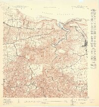 1950 Quebradillas NO1950 Print · USGSMid-century Isabela and Quebradillas are defined here by the coastal path of the American Railroad and the deep gorge of the Río Guajataca. Genealogy researchers can locate family sites near San Antonio, the Iglesia Virgen del Carmen, or Estación Quebradillas.
 - 1957 Map of Quebradillas, 1961 Print
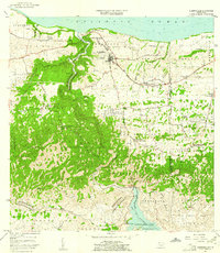 1957 Quebradillas1961 Print · USGSCoastal Puerto Rico in the late fifties shows a landscape defined by traditional barrios and the winding Rio Guajataca. Genealogy researchers can locate rural schools like Escuela José de Diego and landmarks such as the Iglesia Virgen del Carmen.2 unique versions available
 - 1972 Map of Quebradillas, 1974 Print
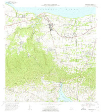 1972 Quebradillas1974 Print · USGSThe northwestern coast of Puerto Rico is revealed here in the early seventies, from the urban center of Quebradillas to the heights of Planas. Genealogists can locate family landmarks like Pueblito de Ponce and La Casa de Piedra.2 unique versions available
 - 2013 Map of Quebradillas, 2013 Print
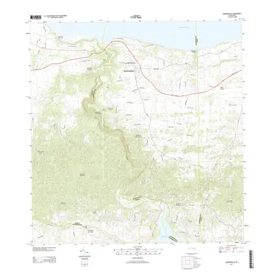 2013 Quebradillas2013 Print · USGSQuebradillas and the northwestern karst country are documented here in the early twenty-first century, from the coastal cliffs to the interior mountains. Researchers can trace local landmarks like the San Rafael de las Quebradillas Cemetery and the deep gorge of the Río Guajataca.
 - 2018 Map of Quebradillas, 2018 Print
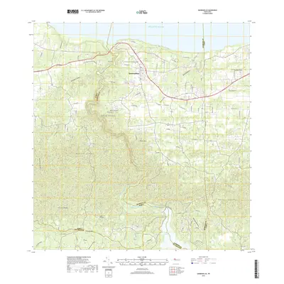 2018 Quebradillas2018 Print · USGSThe northern coastline of Puerto Rico is captured here in the late 2010s, centered on the growing community of Quebradillas. Researchers can trace the path of the Rio Guajataca toward Lago de Guajataca or locate family landmarks like Monte de la Luz and the Cementerio Municipal de Quebradillas.
 - 2024 Map of Quebradillas, 2024 Print
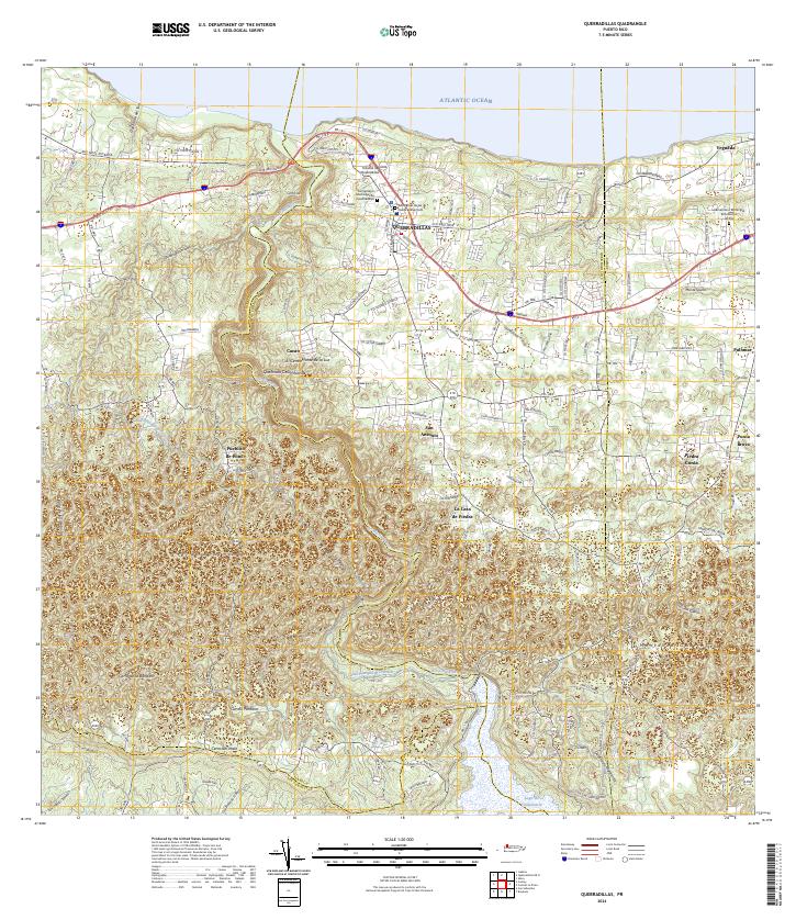 2024 Quebradillas2024 Print · USGSThe northern coast of Puerto Rico meets the limestone hills of the interior in this recent survey. Genealogists can trace family landmarks and burial sites like Hacienda la Sabana and the Cementerio Municipal de Quebradillas.
End of results
Showing maps 1-7 of 7
Top cities near Reparto Apolonio Vélez Ramos
- Aguadilla historical maps
- Isabela historical maps
- San Sebastián historical maps
- Quebradillas historical maps
- Lares historical maps
- Añasco historical maps
See more
Frequently asked questions
- What are the different types of historical maps available for Reparto Apolonio Vélez Ramos?
- What is the oldest map of Reparto Apolonio Vélez Ramos?
- Where can I purchase historical maps of Reparto Apolonio Vélez Ramos for my home or office?
- Where can I download high-res historical maps of Reparto Apolonio Vélez Ramos?
- Are there historical topographic maps available for Reparto Apolonio Vélez Ramos?
- Is there historical aerial imagery available for Reparto Apolonio Vélez Ramos?
- Where are historical maps of Reparto Apolonio Vélez Ramos sourced from?