Old Maps of Capitanejo, Juana Díaz for Hiking & Exploration
Hike through history with 17 historic maps of Capitanejo. Explore old trails, ghost towns, and forgotten backroads — perfect for outdoor adventurers and local explorers.
- Rediscover forgotten places: Map out old mining camps, roads, and footpaths that no longer exist on modern maps.
- Layer with modern tools: Combine with LiDAR or satellite views to plan hikes through historical terrain.
- Made for exploration: Popular among hikers, overlanders, and local history lovers.
Use these maps to find adventure and explore the hidden past of Capitanejo.
Capitanejo, Juana Díaz maps
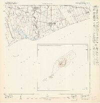
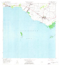
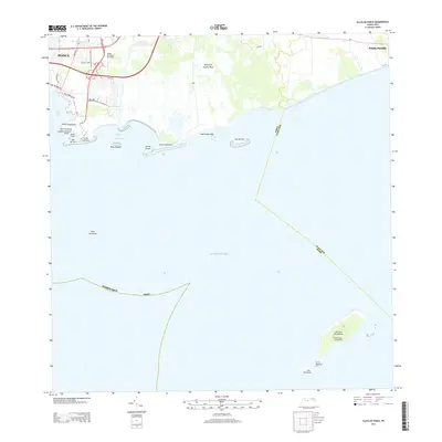
(17)- 1944 Map of Santa Isabel
 1944 Santa Isabel1944 Print · USGSSouthern Puerto Rico during the 1940s is characterized by its thriving sugar estates and coastal transport network. Researchers can trace the layout of historic haciendas like Hacienda Florida and industrial sites like Central Cortada along the Ponce and Guayama rail line.3 unique versions available
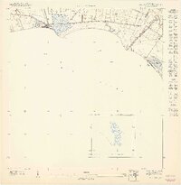
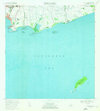
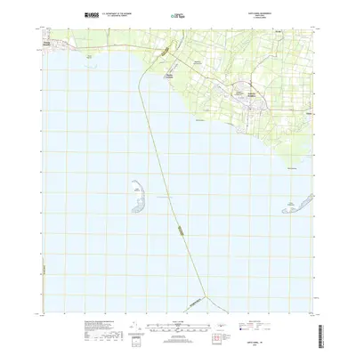
 - 1945 Map of Playa De Ponce
 1945 Playa De Ponce1945 Print · USGSThe coastal sugar economy of southern Puerto Rico is on full display here during the mid-1940s. Genealogists and industrial historians can trace the operations of Central Constancia and the rail lines of the American Railroad of Puerto Rico.3 unique versions available
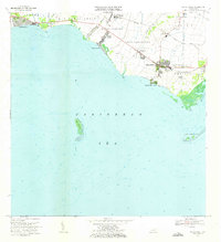
 - 1947 Map of Playa De Ponce NE
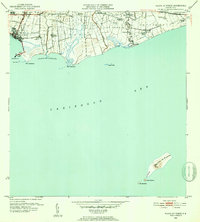
 1947 Playa De Ponce NE1947 Print · USGSThe southern coast of Puerto Rico is captured here in the 1940s, showing the height of the sugar industry between Ponce and Juana Díaz. Genealogists and historians can locate family estates like Hacienda Cintrona Segunda and the industrial complexes at Central Boca Chica or trace the shoreline to the Faro on Isla de Muertos.
 - 1947 Map of Santa Isabel NO
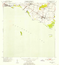
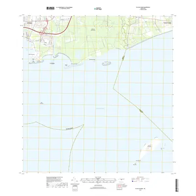
 1947 Santa Isabel NO1947 Print · USGSThe southern coast of Puerto Rico is captured here in the mid-1940s, showing the agricultural and maritime character of the region. Researchers can trace early property patterns and landmarks like Colonia Bizarreta, the coastal Playa Cortado, and the offshore Cayo Berberia.
 - 1952 Map of Playa De Ponce
 1952 Playa De Ponce1952 Print · USGSThe Puerto Rican coast near Ponce comes alive in the early fifties, showing a landscape of sugar centrales and coastal haciendas. Trace the sugar economy through Central Constancia and find offshore landmarks like the Faro on Isla Caja de Muertos.2 unique versions available
 - 1952 Map of Santa Isabel, 1953 Print
 1952 Santa Isabel1953 Print · USGSThe southern coast of Puerto Rico is shown here in the early fifties, where the sugar economy and coastal geography intersect. Genealogists and local historians can trace named estates like Hacienda Florida and Colonia Hawaii or locate the old Ponce and Guayama rail line.2 unique versions available
 - 1958 Map of Playa De Ponce, 1961 Print
 1958 Playa De Ponce1961 Print · USGSThe southern coast of Puerto Rico is captured here in the late fifties, showcasing the intricate network of riverside haciendas and the bustling waterfront at Playa de Ponce. Genealogists can trace family lands like Hacienda Serrano or locate the historic Faro and the distant Isla Caja de Muertos.
 - 1960 Map of Santa Isabel, 1962 Print
 1960 Santa Isabel1962 Print · USGSThe southern coast of Puerto Rico comes alive in this mid-century survey of the plains between the mountains and the Caribbean. Researchers can trace the layout of Central Cortada, find the locations of Hacienda Florida and Hacienda Alomar, or locate the Aeropuerto de Santa Isabel.2 unique versions available
 - 1962 Map of Playa De Ponce, 1964 Print
 1962 Playa De Ponce1964 Print · USGSThe Caribbean coast of southern Puerto Rico comes alive in this early 1960s survey, highlighting the bustling maritime hub at Playa de Ponce. Researchers can trace the waterfront around the Muelle de Ponce or explore offshore landmarks like Isla Caja de Muertos.
 - 1970 Map of Playa De Ponce, 1972 Print
 1970 Playa De Ponce1972 Print · USGSThe southern coast of Puerto Rico is captured here in the early seventies as industrial port activity and coastal barrios expanded. Genealogists and historians can trace family locations in Canas Urbano or offshore landmarks like Isla Caja de Muertos and Cayo Gata.3 unique versions available
 - 1972 Map of Santa Isabel, 1973 Print
 1972 Santa Isabel1973 Print · USGSThe southern coast of Puerto Rico is captured here in the early seventies, showing a landscape defined by sugar history and maritime activity. Researchers can locate family estates like Hacienda Florida, the old Estación Santa Isabel, and coastal landmarks like Cayo Berbería.2 unique versions available
 - 2013 Map of Santa Isabel, 2013 Print
 2013 Santa Isabel2013 Print · USGSCovers Capitanejo, including Santa Isabel, Bizarreta, and other nearby areas
 - 2013 Map of Playa De Ponce, 2013 Print
 2013 Playa De Ponce2013 Print · USGSCovers Capitanejo, including El Polvorín, Manzanilla, and other nearby areas
 - 2018 Map of Playa De Ponce, 2018 Print
 2018 Playa De Ponce2018 Print · USGSCovers Capitanejo, including El Polvorín, Manzanilla, and other nearby areas
 - 2018 Map of Santa Isabel, 2018 Print
 2018 Santa Isabel2018 Print · USGSCovers Capitanejo, including Santa Isabel, Bizarreta, and other nearby areas
 - 2024 Map of Santa Isabel, 2024 Print
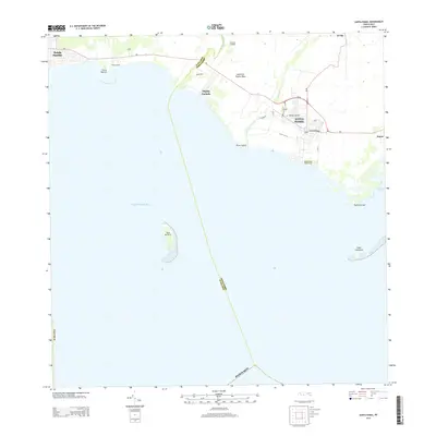
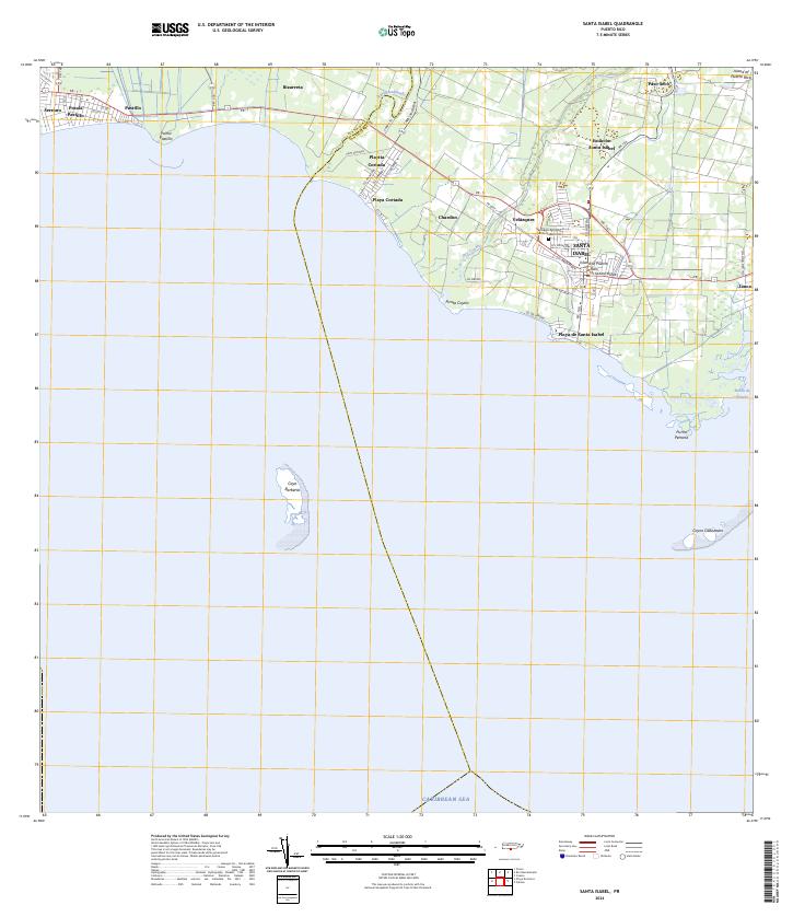 2024 Santa Isabel2024 Print · USGSThe southern coast of Puerto Rico is captured here in the 2020s, showcasing the development of Santa Isabel and its surrounding coastal barrios. Trace family roots and local landmarks at the Santiago Apostol Santa Isabel Cem or explore the waterfronts of Playa de Santa Isabel and Playita Cortada.
 - 2024 Map of Playa De Ponce, 2024 Print
 2024 Playa De Ponce2024 Print · USGSThe southern coast of Puerto Rico is captured here in contemporary detail, showing the integration of maritime industry and urban growth. Researchers can trace the layout of Playa de Ponce or locate landmarks like the Muelle de Ponce and offshore Isla Caja de Muertos.
End of results
Showing maps 1-17 of 17
Frequently asked questions
- What are the different types of historical maps available for Capitanejo?
- What is the oldest map of Capitanejo?
- Where can I purchase historical maps of Capitanejo for my home or office?
- Where can I download high-res historical maps of Capitanejo?
- Are there historical topographic maps available for Capitanejo?
- Is there historical aerial imagery available for Capitanejo?
- Where are historical maps of Capitanejo sourced from?