Old Maps of Purísima Concepción, Las Marías for Hiking & Exploration
Hike through history with 15 historic maps of Purísima Concepción. Explore old trails, ghost towns, and forgotten backroads — perfect for outdoor adventurers and local explorers.
- Rediscover forgotten places: Map out old mining camps, roads, and footpaths that no longer exist on modern maps.
- Layer with modern tools: Combine with LiDAR or satellite views to plan hikes through historical terrain.
- Made for exploration: Popular among hikers, overlanders, and local history lovers.
Use these maps to find adventure and explore the hidden past of Purísima Concepción.
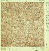
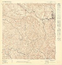
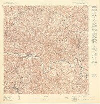
Purísima Concepción, Las Marías maps
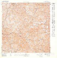
(15)- 1938 Map of San Sebastian
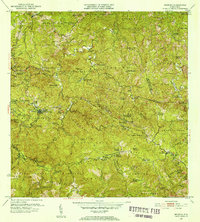
 1938 San Sebastian1938 Print · USGSSan Sebastian and the surrounding highlands are captured in the late 1930s during a time of rural growth and agricultural production. Researchers can locate dozens of country schools, family estates like Hacienda Buena Vista, and the path of the Central Soller RR.
 - 1941 Map of San Sebastian
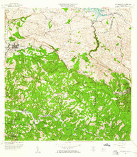
 1941 San Sebastian1941 Print · USGSWestern Puerto Rico is captured here in the early 1940s, highlighting the agricultural heartbeat and social centers of the interior. Researchers can trace historic family-named estates like Hacienda San Pedro and Hacienda Espino or locate the industrial Central Soler.5 unique versions available
 - 1946 Map of Maricao
 1946 Maricao1946 Print · USGSMaricao and the western ridges of the Cordillera Central are shown in detail during the 1940s, highlighting the island's traditional plantation culture. Researchers can locate numerous family estates like Hacienda San Antonio and schools such as the Segunda Unidad Escuela Vocacional Francisco Vicenty.3 unique versions available
 - 1947 Map of Maricao NO
 1947 Maricao NO1947 Print · USGSThe highland coffee country of western Puerto Rico comes alive in this post-war survey, centered on the river-cut valleys of the interior. Genealogists and historians can trace family estates like Hacienda Balare and Hacienda San Antonio or locate the historic Iglesia de la Purisima.
 - 1947 Map of Maricao NE
 1947 Maricao NE1947 Print · USGSThe mountainous coffee-growing region of interior Puerto Rico is captured here in the mid-1940s, just as traditional estate-based land tenure remained central to the economy. Genealogists and historians can trace family ties through several named estates, including Hacienda Lealtad, Hacienda Santiago, and the Iglesia Miraflores.
 - 1950 Map of San Sebastian SE
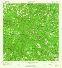
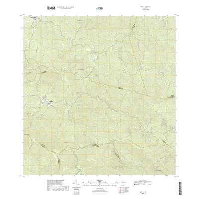
 1950 San Sebastian SE1950 Print · USGSLares and the surrounding coffee highlands are shown here in the mid-twentieth century as traditional agricultural estates still anchored the local economy. Genealogists can trace family connections to rural barrios and historic estates like Hacienda Esperanza, Hacienda San Pedro, and the Escuela Narciso Rabell Cabrero.
 - 1950 Map of San Sebastian SO
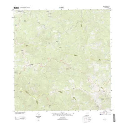
 1950 San Sebastian SO1950 Print · USGSMid-century western Puerto Rico comes into focus along the winding Río Grande de Anasco. Researchers can trace the agricultural footprint of the era through the Hacienda Buena Vista and the mountain settlement of Las Marias.
 - 1952 Map of Maricao, 1953 Print
 1952 Maricao1953 Print · USGSWestern Puerto Rico’s coffee country is mapped in the early fifties, showing a landscape defined by traditional haciendas and emerging mid-century infrastructure. Genealogists and historians can trace family-named estates like Hacienda Lealtad and Hacienda Santa Rita alongside landmarks like the Criadero Insular de Peces.2 unique versions available
 - 1958 Map of San Sebastian, 1960 Print
 1958 San Sebastian1960 Print · USGSSan Sebastián and the surrounding highlands are captured in the late fifties during a period of industrial and agricultural transition. Researchers can trace ancestral lands through numerous named estates like Hacienda Esperanza or visit the grounds of Central Soller.3 unique versions available
 - 1960 Map of Maricao, 1961 Print
 1960 Maricao1961 Print · USGSThe mountains of western Puerto Rico are captured here in the early sixties, showing the agricultural heritage of Maricao. Genealogists can trace family lands across Hacienda Lealtad, Hacienda Santa Rita, and Pueblo Nuevo.3 unique versions available
 - 2013 Map of San Sebastian, 2013 Print
 2013 San Sebastian2013 Print · USGSCovers Purísima Concepción, including San Sebastián, Lares, and other nearby areas
 - 2013 Map of Maricao, 2013 Print
 2013 Maricao2013 Print · USGSCovers Purísima Concepción, including Maricao, Yauco, and other nearby areas
 - 2018 Map of Maricao, 2018 Print
 2018 Maricao2018 Print · USGSCovers Purísima Concepción, including Maricao, Yauco, and other nearby areas
 - 2024 Map of Maricao, 2024 Print
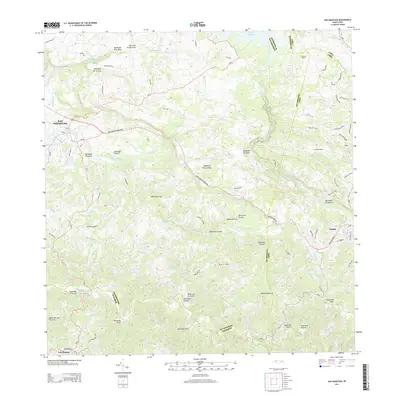
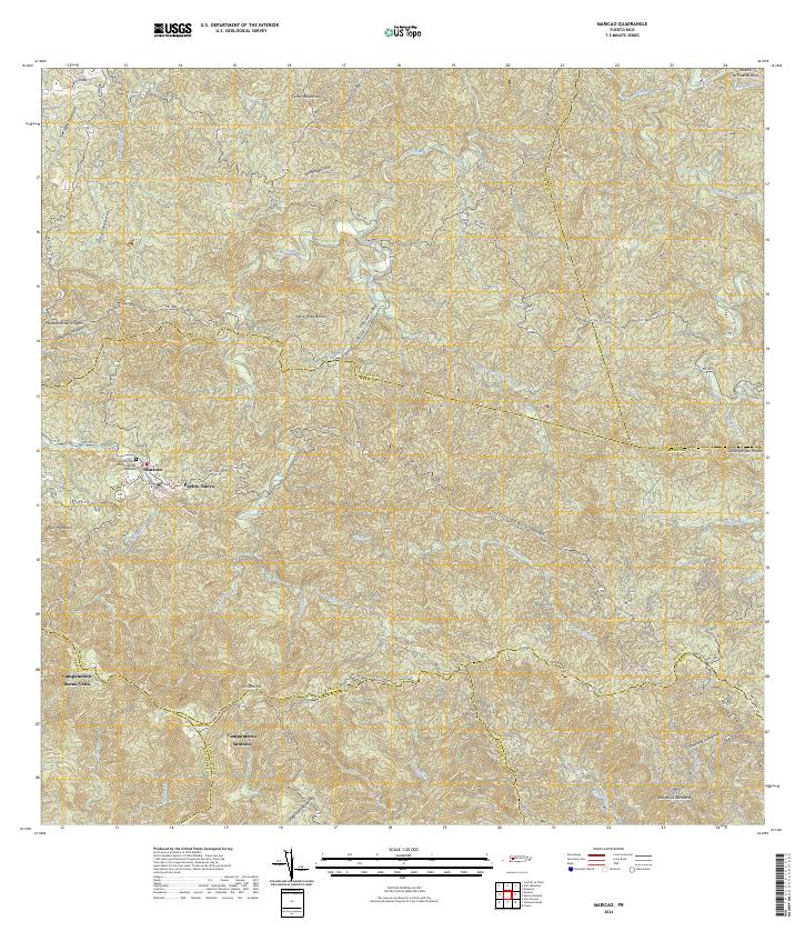 2024 Maricao2024 Print · USGSMaricao and the surrounding highlands are captured in this recent survey of western Puerto Rico. Researchers can trace local landmarks and residential sites like Pueblo Nuevo, Campamento Santana, and the Cementerio Municipal De Maricao.
 - 2024 Map of San Sebastian, 2024 Print
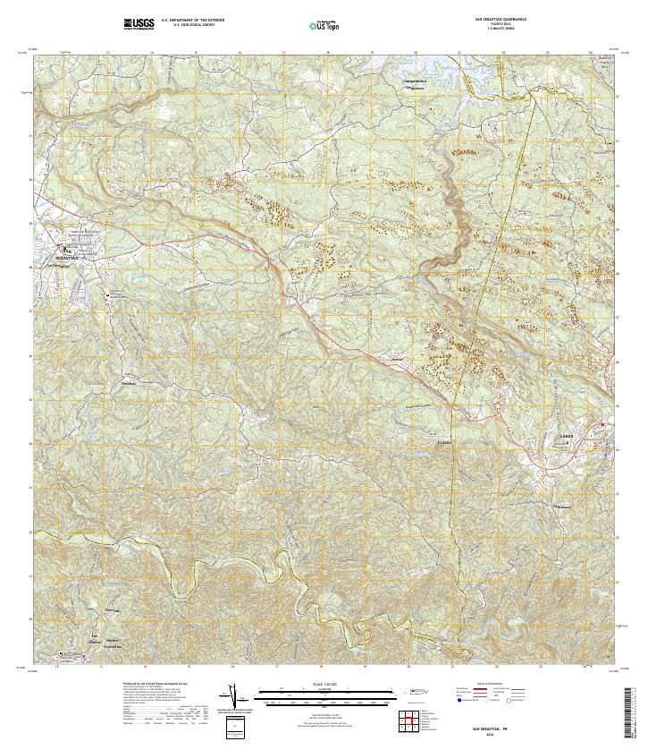 2024 San Sebastian2024 Print · USGSWestern Puerto Rico is captured here in the contemporary era, showing the intersection of urban San Sebastián and the rural highlands. Genealogists can locate family landmarks like Muñoz Torruellas or several local cemeteries, including the Cementerio Municipal de Lares.
End of results
Showing maps 1-15 of 15
Frequently asked questions
- What are the different types of historical maps available for Purísima Concepción?
- What is the oldest map of Purísima Concepción?
- Where can I purchase historical maps of Purísima Concepción for my home or office?
- Where can I download high-res historical maps of Purísima Concepción?
- Are there historical topographic maps available for Purísima Concepción?
- Is there historical aerial imagery available for Purísima Concepción?
- Where are historical maps of Purísima Concepción sourced from?