Old Maps of Luquillo for Genealogy
Trace your family roots with 22 historic maps of Luquillo. These high-res maps reveal old neighborhoods, homesites, landmarks, and streets — helping you uncover where your ancestors lived and how the area evolved over time.
- Explore historic neighborhoods: Identify where your relatives may have lived in the 1800s or 1900s.
- Compare maps over time: Trace the changes in streets, buildings, and landmarks for multi-generational research.
- Perfect for genealogy & ancestry research: Used by family historians and researchers to map out lineage and migration.
These maps are an incredible resource for exploring your personal connection to Luquillo's past.
Luquillo maps
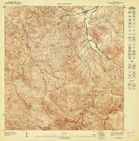
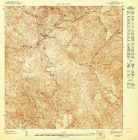
(22)- 1941 Map of Rio Grande
 1941 Rio Grande1941 Print · USGSCovers Luquillo, including Río Grande, Lindo Mar, and other nearby areas2 unique versions available
 - 1945 Map of El Yunque
 1945 El Yunque1945 Print · USGSCovers Luquillo, including Hacienda Jordán, Colinas Tres T, and other nearby areas
 - 1946 Map of El Yunque
 1946 El Yunque1946 Print · USGSCovers Luquillo, including Hacienda Jordán, Colinas Tres T, and other nearby areas3 unique versions available
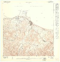
 - 1946 Map of Fajardo
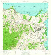
 1946 Fajardo1946 Print · USGSCovers Luquillo, including Fajardo, Las Aves, and other nearby areas4 unique versions available
 - 1947 Map of El Yunque NE
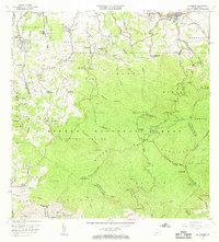
 1947 El Yunque NE1947 Print · USGSCovers Luquillo, including Hacienda Jordán, Colinas Tres T, and other nearby areas
 - 1947 Map of Rio Grande
 1947 Rio Grande1947 Print · USGSCovers Luquillo, including Río Grande, Lindo Mar, and other nearby areas3 unique versions available
 - 1947 Map of El Yunque SE
 1947 El Yunque SE1947 Print · USGSCovers Luquillo, including Sabana, Río Abajo, and other nearby areas
 - 1947 Map of Fajardo NO, 1948 Print
 1947 Fajardo NO1948 Print · USGSCovers Luquillo, including Mameyes I, Mata de Plátano, and other nearby areas
 - 1947 Map of Fajardo NE, 1948 Print
 1947 Fajardo NE1948 Print · USGSCovers Luquillo, including Fajardo, Las Croabas, and other nearby areas
 - 1950 Map of Rio Grande SE
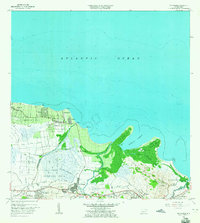
 1950 Rio Grande SE1950 Print · USGSCovers Luquillo, including Las Coles, Lindo Mar, and other nearby areas
 - 1952 Map of El Yunque, 1953 Print
 1952 El Yunque1953 Print · USGSCovers Luquillo, including Hacienda Jordán, Colinas Tres T, and other nearby areas2 unique versions available
 - 1952 Map of Fajardo, 1953 Print
 1952 Fajardo1953 Print · USGSCovers Luquillo, including Fajardo, Las Aves, and other nearby areas2 unique versions available
 - 1956 Map of Rio Grande, 1958 Print
 1956 Rio Grande1958 Print · USGSCovers Luquillo, including Río Grande, Lindo Mar, and other nearby areas
 - 1958 Map of El Yunque, 1960 Print
 1958 El Yunque1960 Print · USGSCovers Luquillo, including Hacienda Jordán, Colinas Tres T, and other nearby areas
 - 1958 Map of Fajardo, 1960 Print
 1958 Fajardo1960 Print · USGSCovers Luquillo, including Fajardo, Las Aves, and other nearby areas
 - 1962 Map of Fajardo, 1965 Print
 1962 Fajardo1965 Print · USGSCovers Luquillo, including Fajardo, Las Aves, and other nearby areas6 unique versions available
 - 1963 Map of Rio Grande, 1965 Print
 1963 Rio Grande1965 Print · USGSCovers Luquillo, including Río Grande, Lindo Mar, and other nearby areas4 unique versions available
 - 1967 Map of El Yunque, 1969 Print
 1967 El Yunque1969 Print · USGSCovers Luquillo, including Hacienda Jordán, Colinas Tres T, and other nearby areas4 unique versions available
 - 2024 Map of Fajardo, 2024 Print
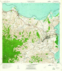
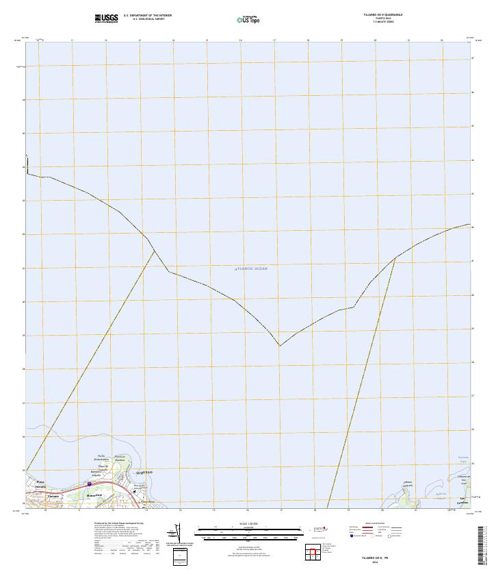
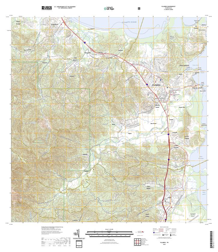 2024 Fajardo2024 Print · USGSCovers Luquillo, including Fajardo, Ceiba, and other nearby areas
 - 2024 Map of Fajardo OE N, 2024 Print
 2024 Fajardo OE N2024 Print · USGSCovers Luquillo, including Fajardo, Mameyes I, and other nearby areas
 - 2024 Map of El Yunque, 2024 Print
 2024 El Yunque2024 Print · USGSCovers Luquillo, including Sector Rosado, Palma Sola, and other nearby areas
 - 2024 Map of Rio Grande, 2024 Print
 2024 Rio Grande2024 Print · USGSCovers Luquillo, including Río Grande, Lindo Mar, and other nearby areas
End of results
Showing maps 1-22 of 22
Frequently asked questions
- What are the different types of historical maps available for Luquillo?
- What is the oldest map of Luquillo?
- Where can I purchase historical maps of Luquillo for my home or office?
- Where can I download high-res historical maps of Luquillo?
- Are there historical topographic maps available for Luquillo?
- Is there historical aerial imagery available for Luquillo?
- Where are historical maps of Luquillo sourced from?