Old Maps of Luquillo for Metal Detecting
Plan your next treasure hunt with 22 historic maps of Luquillo. Find old homesites, ghost towns, trails, and gathering spots that may be lost to time — perfect for identifying promising metal detecting locations.
- Locate forgotten sites: Uncover places like long-lost settlements, abandoned rail lines, or gathering spots.
- Plan better hunts: Use map overlays combined with LiDAR or satellite views to narrow in on historically rich areas.
- Made for detectorists: Thousands of hobbyists use these maps to discover relics, coins, and hidden history.
Use these historic maps to boost your research and find new opportunities beneath the surface of Luquillo.
Luquillo maps
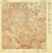
(22)- 1941 Map of Rio Grande
 1941 Rio Grande1941 Print · USGSCovers Luquillo, including Río Grande, Lindo Mar, and other nearby areas2 unique versions available
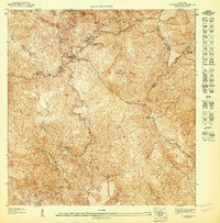
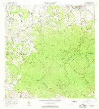
 - 1945 Map of El Yunque
 1945 El Yunque1945 Print · USGSCovers Luquillo, including Hacienda Jordán, Colinas Tres T, and other nearby areas
 - 1946 Map of El Yunque
 1946 El Yunque1946 Print · USGSCovers Luquillo, including Hacienda Jordán, Colinas Tres T, and other nearby areas3 unique versions available
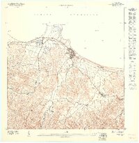
 - 1946 Map of Fajardo
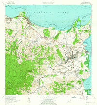
 1946 Fajardo1946 Print · USGSCovers Luquillo, including Fajardo, Las Aves, and other nearby areas4 unique versions available
 - 1947 Map of El Yunque NE
 1947 El Yunque NE1947 Print · USGSCovers Luquillo, including Hacienda Jordán, Colinas Tres T, and other nearby areas
 - 1947 Map of Rio Grande
 1947 Rio Grande1947 Print · USGSCovers Luquillo, including Río Grande, Lindo Mar, and other nearby areas3 unique versions available
 - 1947 Map of El Yunque SE
 1947 El Yunque SE1947 Print · USGSCovers Luquillo, including Sabana, Río Abajo, and other nearby areas
 - 1947 Map of Fajardo NO, 1948 Print
 1947 Fajardo NO1948 Print · USGSCovers Luquillo, including Mameyes I, Mata de Plátano, and other nearby areas
 - 1947 Map of Fajardo NE, 1948 Print
 1947 Fajardo NE1948 Print · USGSCovers Luquillo, including Fajardo, Las Croabas, and other nearby areas
 - 1950 Map of Rio Grande SE
 1950 Rio Grande SE1950 Print · USGSCovers Luquillo, including Las Coles, Lindo Mar, and other nearby areas
 - 1952 Map of El Yunque, 1953 Print
 1952 El Yunque1953 Print · USGSCovers Luquillo, including Hacienda Jordán, Colinas Tres T, and other nearby areas2 unique versions available
 - 1952 Map of Fajardo, 1953 Print
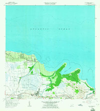
 1952 Fajardo1953 Print · USGSCovers Luquillo, including Fajardo, Las Aves, and other nearby areas2 unique versions available
 - 1956 Map of Rio Grande, 1958 Print
 1956 Rio Grande1958 Print · USGSCovers Luquillo, including Río Grande, Lindo Mar, and other nearby areas
 - 1958 Map of El Yunque, 1960 Print
 1958 El Yunque1960 Print · USGSCovers Luquillo, including Hacienda Jordán, Colinas Tres T, and other nearby areas
 - 1958 Map of Fajardo, 1960 Print
 1958 Fajardo1960 Print · USGSCovers Luquillo, including Fajardo, Las Aves, and other nearby areas
 - 1962 Map of Fajardo, 1965 Print
 1962 Fajardo1965 Print · USGSCovers Luquillo, including Fajardo, Las Aves, and other nearby areas6 unique versions available
 - 1963 Map of Rio Grande, 1965 Print
 1963 Rio Grande1965 Print · USGSCovers Luquillo, including Río Grande, Lindo Mar, and other nearby areas4 unique versions available
 - 1967 Map of El Yunque, 1969 Print
 1967 El Yunque1969 Print · USGSCovers Luquillo, including Hacienda Jordán, Colinas Tres T, and other nearby areas4 unique versions available
 - 2024 Map of Fajardo, 2024 Print
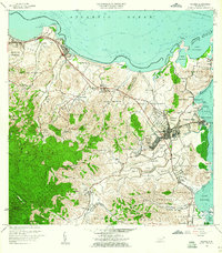
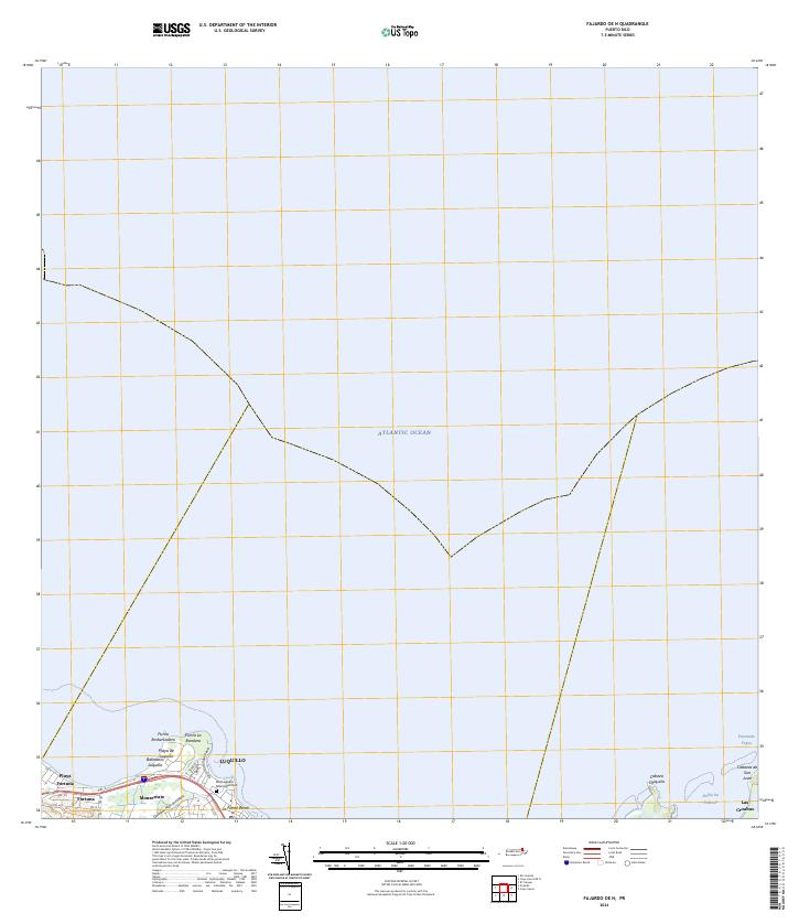
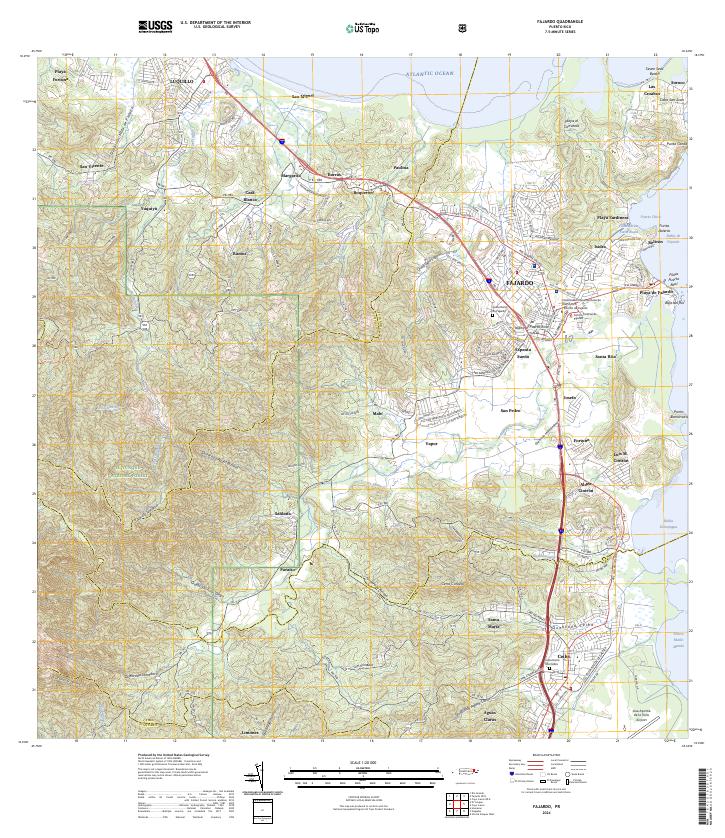 2024 Fajardo2024 Print · USGSCovers Luquillo, including Fajardo, Ceiba, and other nearby areas
 - 2024 Map of Fajardo OE N, 2024 Print
 2024 Fajardo OE N2024 Print · USGSCovers Luquillo, including Fajardo, Mameyes I, and other nearby areas
 - 2024 Map of El Yunque, 2024 Print
 2024 El Yunque2024 Print · USGSCovers Luquillo, including Sector Rosado, Palma Sola, and other nearby areas
 - 2024 Map of Rio Grande, 2024 Print
 2024 Rio Grande2024 Print · USGSCovers Luquillo, including Río Grande, Lindo Mar, and other nearby areas
End of results
Showing maps 1-22 of 22
Frequently asked questions
- What are the different types of historical maps available for Luquillo?
- What is the oldest map of Luquillo?
- Where can I purchase historical maps of Luquillo for my home or office?
- Where can I download high-res historical maps of Luquillo?
- Are there historical topographic maps available for Luquillo?
- Is there historical aerial imagery available for Luquillo?
- Where are historical maps of Luquillo sourced from?