Old Maps of Jardines de Bordaleza, Maunabo for Metal Detecting
Plan your next treasure hunt with 7 historic maps of Jardines de Bordaleza. Find old homesites, ghost towns, trails, and gathering spots that may be lost to time — perfect for identifying promising metal detecting locations.
- Locate forgotten sites: Uncover places like long-lost settlements, abandoned rail lines, or gathering spots.
- Plan better hunts: Use map overlays combined with LiDAR or satellite views to narrow in on historically rich areas.
- Made for detectorists: Thousands of hobbyists use these maps to discover relics, coins, and hidden history.
Use these historic maps to boost your research and find new opportunities beneath the surface of Jardines de Bordaleza.
Jardines de Bordaleza, Maunabo maps
(7)- 1945 Map of Punta Tuna
 1945 Punta Tuna1945 Print · USGSCoastal Maunabo and Patillas appear here just after the war, showing the southeastern shoreline before modern development. Genealogists and historians can locate the Faro lighthouse at Pta Tuna, the Hacienda San Isidro, and the Escuela Segunda Unidad de Guardarraya.4 unique versions available
 - 1947 Map of Punta Tuna NE
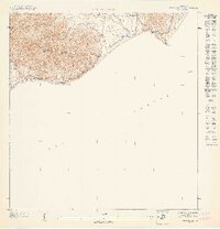 1947 Punta Tuna NE1947 Print · USGSSoutheastern Puerto Rico's coastline in the late 1940s reveals a landscape defined by dramatic mountain ridges and the Caribbean Sea. Researchers can trace the rugged topography of the Sierra de Guardarraya and locate the historic Faro at Pta Tuna.
 - 1952 Map of Punta Tuna, 1953 Print
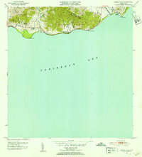 1952 Punta Tuna1953 Print · USGSMaunabo's rugged coastline and the high peaks of the Sierra Palo Seco are captured here during the early fifties. Genealogists and researchers can locate the Faro at Pta Tuna, the Hacienda San Isidro, and several named barrios and schools along the coast.2 unique versions available
 - 1960 Map of Punta Tuna, 1961 Print
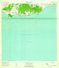 1960 Punta Tuna1961 Print · USGSSoutheast Puerto Rico meets the sea in the early sixties, showing the transition from mountain ridges to the Caribbean coast. Genealogists and historians can trace the estates of Hacienda San Isidro, the landmark Faro Punta Tuna, and the village of Recio.2 unique versions available
 - 2013 Map of Punta Tuna, 2013 Print
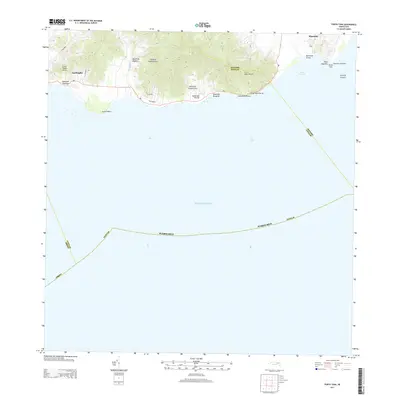 2013 Punta Tuna2013 Print · USGSThe southeastern coast of Puerto Rico is captured here in the early twenty-first century, showing the rugged intersection of the mountains and the Caribbean shore. Maritime researchers and genealogists can trace the coastal route of PR-3 between Lamboglia and Maunabo, or locate the historic Maynabo Lighthouse at Punta Tuna.
 - 2018 Map of Punta Tuna, 2018 Print
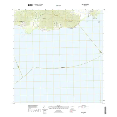 2018 Punta Tuna2018 Print · USGSSoutheastern Puerto Rico's coastal mountains and valleys are captured here in the late 2010s. Researchers can trace the rugged Sierra de Guardarraya down to the sea at Punta Tuna and find local sites like Cementerio Guardarraya.
 - 2024 Map of Punta Tuna, 2024 Print
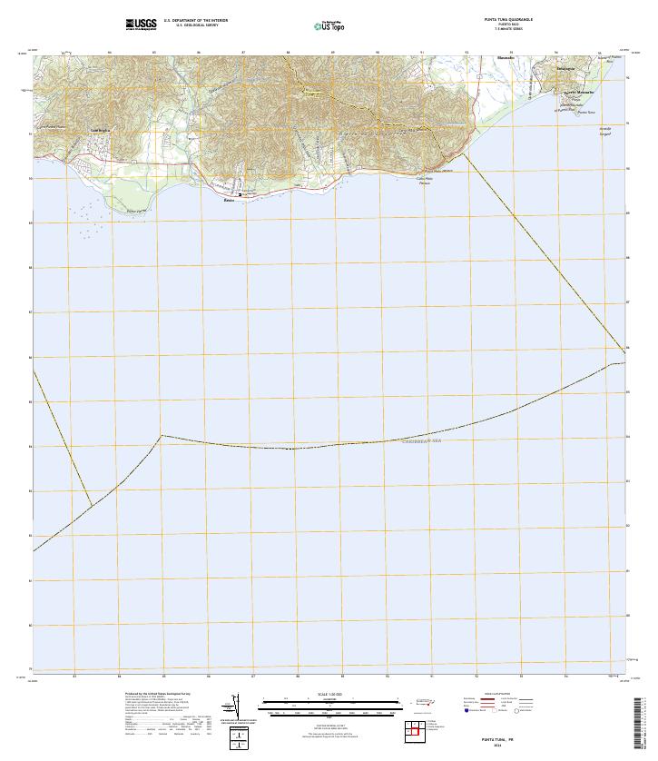 2024 Punta Tuna2024 Print · USGSSoutheastern Puerto Rico is mapped here in the modern era as the mountains meet the sea. Researchers can trace coastal settlements like Emajagua, visit the Cementerio Guardarraya, or locate the maritime landmark at Punta Tuna.
End of results
Showing maps 1-7 of 7
Frequently asked questions
- What are the different types of historical maps available for Jardines de Bordaleza?
- What is the oldest map of Jardines de Bordaleza?
- Where can I purchase historical maps of Jardines de Bordaleza for my home or office?
- Where can I download high-res historical maps of Jardines de Bordaleza?
- Are there historical topographic maps available for Jardines de Bordaleza?
- Is there historical aerial imagery available for Jardines de Bordaleza?
- Where are historical maps of Jardines de Bordaleza sourced from?