2000s (21st Century) Maps of Mayagüez
Explore 24 historic maps of Mayagüez from the 2000s (21st Century). These maps offer a rare glimpse into what life looked like during the 2000s — showing old roads, neighborhoods, homes, and landmarks that have changed or disappeared over time.
Whether you're researching your family's past, planning a metal detecting trip, or studying how Mayagüez's landscape evolved across the 2000s, these high-resolution maps are a powerful tool for exploring the history of this region.
- Focus on a specific era: All maps on this page are from the 2000s, giving you a focused view of this time period.
- See what’s changed: Compare century-old streets, trails, and buildings to today's modern landscape using overlays and satellite layers.
- Research with precision: Use these maps for genealogy, historical research, land use analysis, or educational projects.
- View, download, or print: Maps are fully viewable online in high resolution, and can be downloaded or printed for your own records.
Start exploring Mayagüez's history through authentic maps from the 2000s. This is your window into the past.
Mayagüez maps
(24)- 2013 Map of Central La Plata, 2013 Print
 2013 Central La Plata2013 Print · USGSCovers Mayagüez, including Sector Los Crespos, Sector La Grúa, and other nearby areas
 - 2013 Map of Rosario, 2013 Print
 2013 Rosario2013 Print · USGSCovers Mayagüez, including Sector Los Limones, Sector Pascual Perez, and other nearby areas
 - 2013 Map of Isla de Mona OE N, 2013 Print
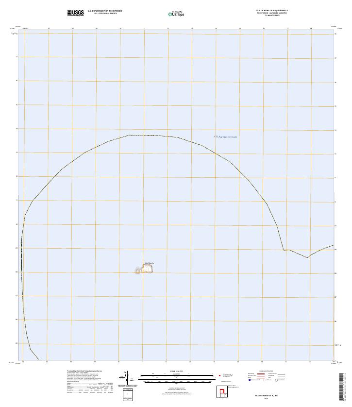
 2013 Isla de Mona OE N2013 Print · USGSCovers Mayagüez, including Isla de Mona e Islote Monito, Puerto Rico, and other nearby areas
 - 2013 Map of Mayaguez, 2013 Print
 2013 Mayaguez2013 Print · USGSCovers Mayagüez, including Hormigueros, Cerillos, and other nearby areas
 - 2013 Map of Rincon, 2013 Print
 2013 Rincon2013 Print · USGSCovers Mayagüez, including Añasco, Sector Los Ríos, and other nearby areas
 - 2013 Map of Isla de Mona, 2013 Print
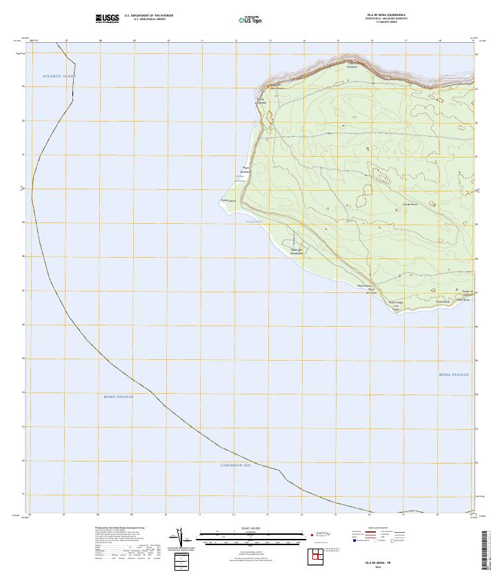
 2013 Isla de Mona2013 Print · USGSCovers Mayagüez, including Sardinera, Uvero, and other nearby areas
 - 2013 Map of Isla Desecheo, 2013 Print
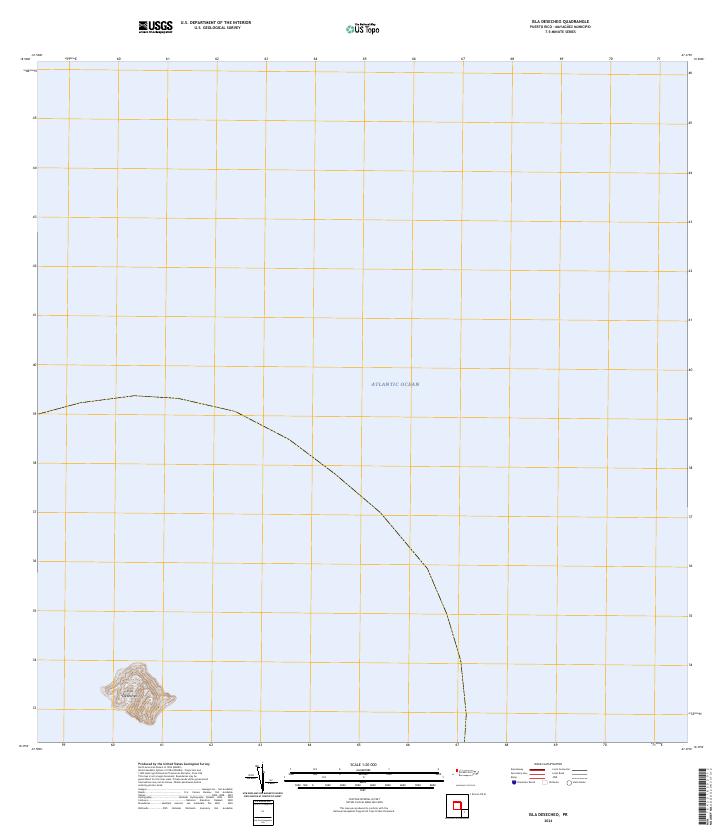
 2013 Isla Desecheo2013 Print · USGSCovers Mayagüez, including Sabanetas, Puerto Rico, and other nearby areas
 - 2013 Map of Isla de Mona OE E, 2013 Print
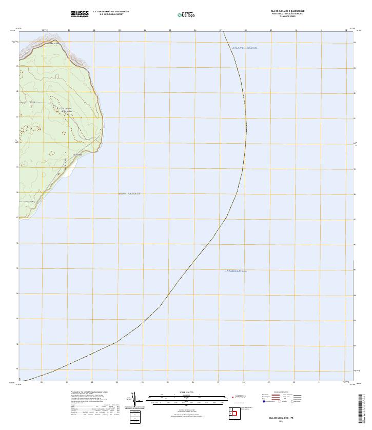
 2013 Isla de Mona OE E2013 Print · USGSCovers Mayagüez, including El Faro, Pájaros, and other nearby areas
 - 2018 Map of Rosario, 2018 Print
 2018 Rosario2018 Print · USGSCovers Mayagüez, including Sector Los Limones, Sector Pascual Perez, and other nearby areas
 - 2018 Map of Isla de Mona OE E, 2018 Print
 2018 Isla de Mona OE E2018 Print · USGSCovers Mayagüez, including El Faro, Pájaros, and other nearby areas
 - 2018 Map of Isla de Mona OE N, 2018 Print
 2018 Isla de Mona OE N2018 Print · USGSCovers Mayagüez, including Isla de Mona e Islote Monito, Puerto Rico, and other nearby areas
 - 2018 Map of Mayaguez, 2018 Print
 2018 Mayaguez2018 Print · USGSCovers Mayagüez, including Hormigueros, Cerillos, and other nearby areas
 - 2018 Map of Rincon, 2018 Print
 2018 Rincon2018 Print · USGSCovers Mayagüez, including Añasco, Sector Los Ríos, and other nearby areas
 - 2018 Map of Isla Desecheo, 2018 Print
 2018 Isla Desecheo2018 Print · USGSCovers Mayagüez, including Sabanetas, Puerto Rico, and other nearby areas
 - 2018 Map of Central La Plata, 2018 Print
 2018 Central La Plata2018 Print · USGSCovers Mayagüez, including Sector Los Crespos, Sector La Grúa, and other nearby areas
 - 2018 Map of Isla de Mona, 2018 Print
 2018 Isla de Mona2018 Print · USGSCovers Mayagüez, including Sardinera, Uvero, and other nearby areas
 - 2024 Map of Isla de Mona, 2024 Print
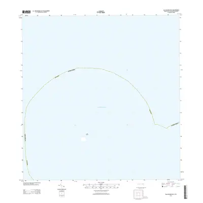
 2024 Isla de Mona2024 Print · USGSIsla de Mona stands at the maritime crossroads of the Caribbean and Atlantic in this recent topographic survey. Boaters and researchers can trace the coastal landings and rugged points of the island, from the Anclaje Sardinera to the strikingly named Punta Caigo o no Caigo.
 - 2024 Map of Isla de Mona OE N, 2024 Print
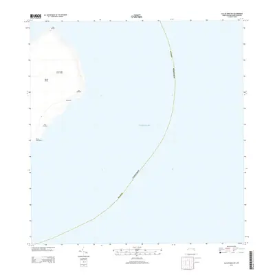
 2024 Isla de Mona OE N2024 Print · USGSThe isolated limestone cliffs of the Mona Passage are documented in this recent survey. Researchers can trace the exact perimeter and topographic contours of Isla Monito as it sits surrounded by the Atlantic Ocean.
 - 2024 Map of Isla Desecheo, 2024 Print
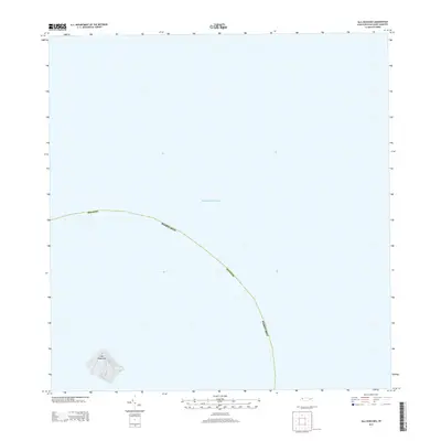
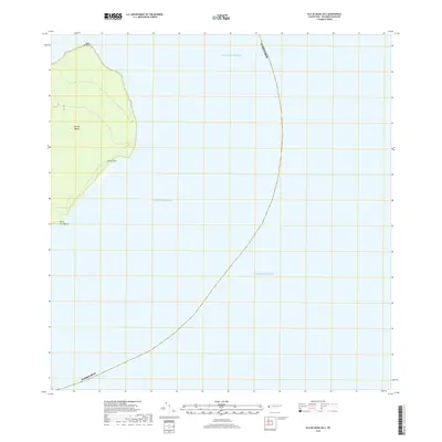
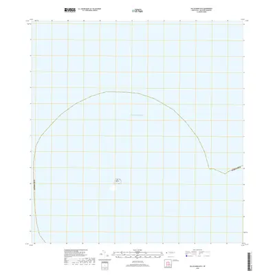
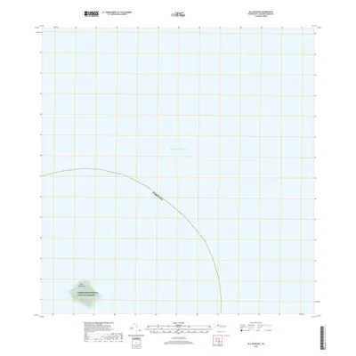
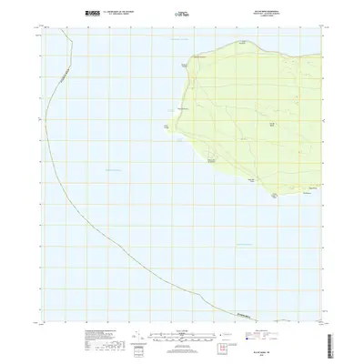
 2024 Isla Desecheo2024 Print · USGSIsla Desecheo sits isolated in the Mona Passage during the early twenty-first century, preserved as a sanctuary. Researchers can trace the steep topography and boundaries of the Desecheo National Wildlife Refuge across the entire landmass.
 - 2024 Map of Isla de Mona OE E, 2024 Print
 2024 Isla de Mona OE E2024 Print · USGSMona Island sits at the maritime crossroads of the Caribbean and Atlantic during this recent survey. Researchers can trace the rugged eastern coastline from Cabo el Toro down to Punta Este and locate the historic Los Corrales de los Indios.
 - 2024 Map of Rosario, 2024 Print
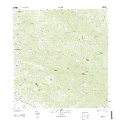
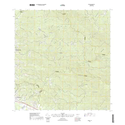
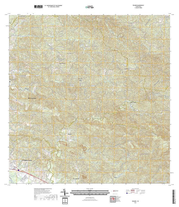 2024 Rosario2024 Print · USGSThe upland terrain of western Puerto Rico comes into focus during this contemporary survey of the Rosario river valley. Researchers can trace historic estate boundaries at Finca Marini or locate local landmarks like the Universidad Adventista de las Antillas.
 - 2024 Map of Rincon, 2024 Print
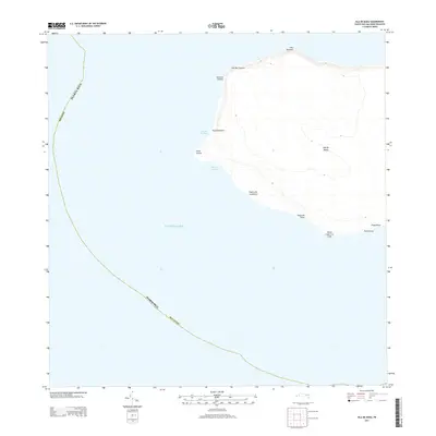
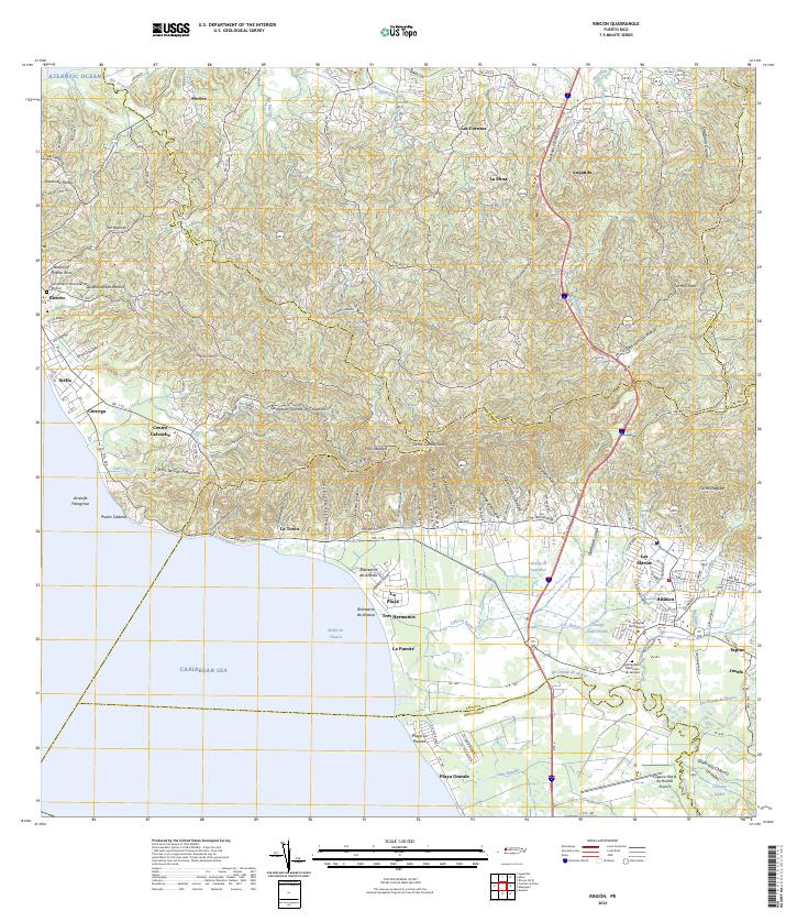 2024 Rincon2024 Print · USGSThe western coast of Puerto Rico is captured here in detail, showing the transition from the rugged hills of La Cadena to the sandy reaches of Playa Grande. Researchers can locate specific family sites near Cementerio Municipal de Añasco or trace the winding path of the Río Grande de Añasco.
 - 2024 Map of Central La Plata, 2024 Print
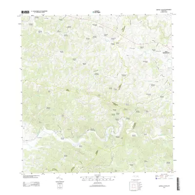
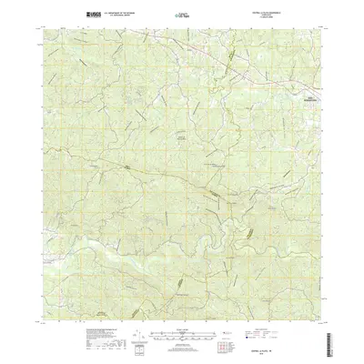
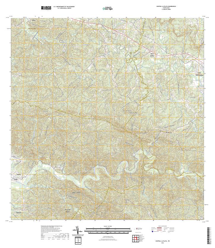 2024 Central La Plata2024 Print · USGSWestern Puerto Rico is captured here in a period of modern connectivity, showing the transition from river valleys to high interior peaks. Genealogists and locals can trace family-named sectors like LOS BARRETO and small communities such as Hato Arriba or Mata y Orsini.
 - 2024 Map of Mayaguez, 2024 Print
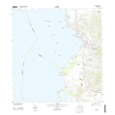
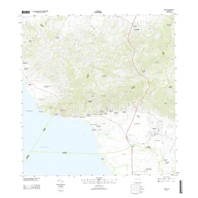
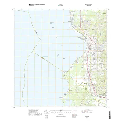
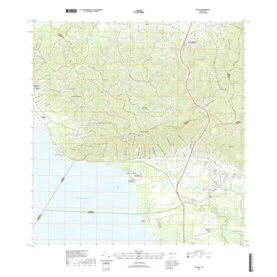
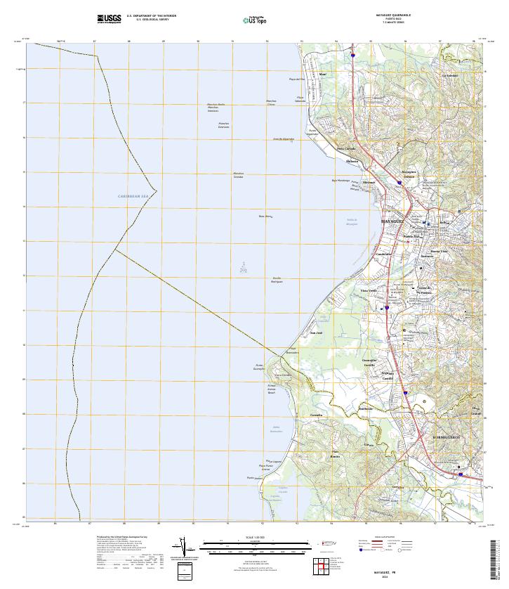 2024 Mayaguez2024 Print · USGSWestern Puerto Rico's coastal urban centers and river valleys are captured here in modern detail. Local historians can trace the growth of Mayagüez and Hormigueros, or locate the Cementerio Municipal de Mayagüez and Laguna Joyuda.
End of results
Showing maps 1-24 of 24
Frequently asked questions
- What are the different types of historical maps available for Mayagüez?
- What is the oldest map of Mayagüez?
- Where can I purchase historical maps of Mayagüez for my home or office?
- Where can I download high-res historical maps of Mayagüez?
- Are there historical topographic maps available for Mayagüez?
- Is there historical aerial imagery available for Mayagüez?
- Where are historical maps of Mayagüez sourced from?