Old Maps of Uvero, Mayagüez for Hiking & Exploration
Hike through history with 4 historic maps of Uvero. Explore old trails, ghost towns, and forgotten backroads — perfect for outdoor adventurers and local explorers.
- Rediscover forgotten places: Map out old mining camps, roads, and footpaths that no longer exist on modern maps.
- Layer with modern tools: Combine with LiDAR or satellite views to plan hikes through historical terrain.
- Made for exploration: Popular among hikers, overlanders, and local history lovers.
Use these maps to find adventure and explore the hidden past of Uvero.
Uvero, Mayagüez maps
(4)- 1944 Map of Isla Mona, 1963 Print
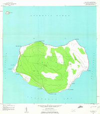 1944 Isla Mona1963 Print · USGSMona Island and its smaller neighbor Isla Monito appear here during the mid-forties, detailing a landscape of coastal cliffs and interior trails. Researchers can locate the Faro, the Aerodromo Emergencia, and landing sites like Anclaje Sardinero.2 unique versions available
 - 2013 Map of Isla de Mona, 2013 Print
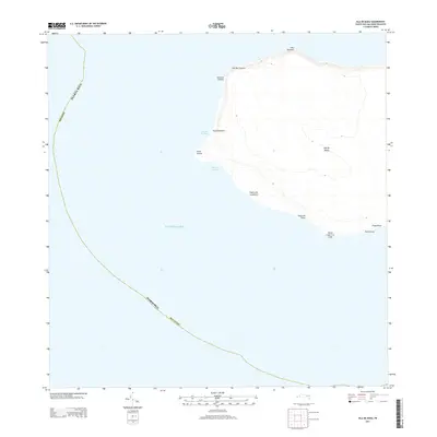 2013 Isla de Mona2013 Print · USGSCovers Uvero, including Sardinera, Mayagüez, and other nearby areas
 - 2018 Map of Isla de Mona, 2018 Print
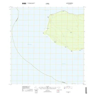 2018 Isla de Mona2018 Print · USGSCovers Uvero, including Sardinera, Mayagüez, and other nearby areas
 - 2024 Map of Isla de Mona, 2024 Print
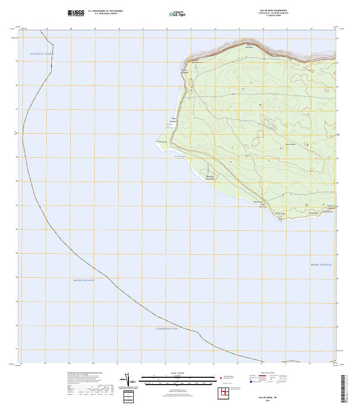 2024 Isla de Mona2024 Print · USGSIsla de Mona stands at the maritime crossroads of the Caribbean and Atlantic in this recent topographic survey. Boaters and researchers can trace the coastal landings and rugged points of the island, from the Anclaje Sardinera to the strikingly named Punta Caigo o no Caigo.
End of results
Showing maps 1-4 of 4
Frequently asked questions
- What are the different types of historical maps available for Uvero?
- What is the oldest map of Uvero?
- Where can I purchase historical maps of Uvero for my home or office?
- Where can I download high-res historical maps of Uvero?
- Are there historical topographic maps available for Uvero?
- Is there historical aerial imagery available for Uvero?
- Where are historical maps of Uvero sourced from?